Loudonville in Albany County, New York — The American Northeast (Mid-Atlantic)
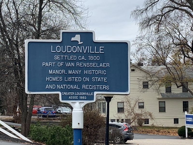
Loudonville
Erected 1983 by Greater Loudonville Assoc.
Topics. This historical marker is listed in this topic list: Settlements & Settlers. A significant historical year for this entry is 1800.
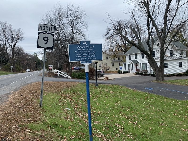
Location. 42° 42.314′ N, 73° 45.265′ W. Marker is in Loudonville, New York, in Albany County. Marker is at the intersection of New Loudon Road (U.S. 9) and Menands Road (New York State Route 378), on the right when traveling north on New Loudon Road. Touch for map. Marker is in this post office area: Albany NY 12211, United States of America. Touch for directions.
Other nearby markers. At least 8 other markers are within 3 miles of this marker, measured as the crow flies. Historic Loudonville (within shouting distance of this marker); Historic Albany Rural Cemetery (approx. 0.9 miles away); Chester Alan Arthur (approx. 1.1 miles away); Saint Agnes Cemetery (approx. 1.6 miles away); The Erie Canal (approx. 2.1 miles away); Gen. Henry Knox Trail (approx. 2.1 miles away); Schuyler Flatts (approx. 2.1 miles away); Site of New York Central Railroad Erector Shop (approx. 2.3 miles away).
Also see . . .
1. Van Rensselaer (family) (Wikipedia). (Submitted on November 10, 2019, by Steve Stoessel of Niskayuna, New York.)
2. Loudonville, New York (Wikipedia) . (Submitted on November 12, 2019, by Michael Herrick of Southbury, Connecticut.)
3. Bryan's Store - National Archives. National Register of Historic Places documentation (Submitted on November 21, 2023, by Anton Schwarzmueller of Wilson, New York.)
4. D.D.T. Moore Farmhouse - National Archives. National Register of Historic Places documentation (Submitted on November 21, 2023, by Anton Schwarzmueller of Wilson, New York.)
5. Gorham House - National Archives. National Register of Historic Places documentation (Submitted on November 21, 2023, by Anton Schwarzmueller of Wilson, New York.)
6. Hughson Mansion - National Archives. National Register of Historic Places documentation (Submitted on November 21, 2023, by Anton Schwarzmueller of Wilson, New York.)
7. Loudon Road Historic District - National Archives. National Register of Historic Places documentation (Submitted on November 21, 2023, by Anton Schwarzmueller of Wilson, New York.)
8. Springwood Manor - National Archives. National Register of Historic Places documentation (Submitted on November 21, 2023, by Anton Schwarzmueller of Wilson, New York.)
9. Wheeler Home - National Archives. National Register of Historic Places documentation (Submitted on November 21, 2023, by Anton Schwarzmueller of Wilson, New York.)
10. Whitney Mansion - National Archives. National Register of Historic Places documentation (Submitted on November 21, 2023, by Anton Schwarzmueller of Wilson, New York.)
Credits. This page was last revised on November 21, 2023. It was originally submitted on November 10, 2019, by Steve Stoessel of Niskayuna, New York. This page has been viewed 255 times since then and 40 times this year. Photos: 1, 2, 3. submitted on November 10, 2019, by Steve Stoessel of Niskayuna, New York. • Michael Herrick was the editor who published this page.


