Loma in Chouteau County, Montana — The American West (Mountains)
Decision at the Marias
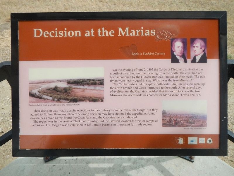
Lewis in Blackfoot Country
Inscription.
On the evening of June 2, 1805 the Corps of Discovery arrived at the mouth of an unknown river flowing from the north. The river had not been mentioned by the Hidatsa nor was it noted on their maps. The two rivers were equal is size. Which was the true Missouri?
The Captains decided to explore both forks. On June 4 Lewis went up the north branch and Clark journeyed to the south. After several days of exploration, the Captains decided that the south fork was the true Missouri; the north fork was named for Maria Wood, Lewis's cousin.
Their decision was made despite objections to the contrary from the rest of the Corps, but they agreed to "follow them anywhere." A wrong decision may have doomed the expedition. A few days later Captain Lewis found the Great Falls and the Captains were vindicated.
The region was in the heart of Blackfoot Country, and the favored location for winter camps of the Piikani. Fort Piegan was established in 1831 and it became an important fur trade region.
Topics and series. This historical marker is listed in this topic list: Exploration. In addition, it is included in the Lewis & Clark Expedition series list.
Location. 47° 58.478′ N, 110° 29.964′ W. Marker is in Loma, Montana, in Chouteau County. Marker can be reached from U.S. 87 near Rudyard Road, on the left when traveling north. Touch for map. Marker is in this post office area: Loma MT 59460, United States of America. Touch for directions.
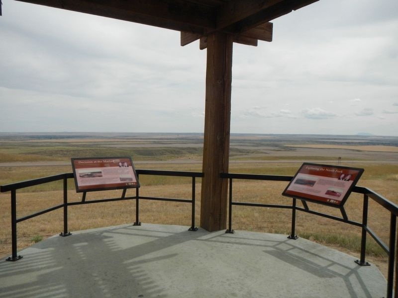
Other nearby markers. At least 8 other markers are within 4 miles of this marker, measured as the crow flies. Exploring the North Fork (here, next to this marker); A Montana Crossroads (approx. 0.2 miles away); The Manitoba Railroad (approx. 3.2 miles away); Marias River (approx. 3.2 miles away); Victims of Blood Indian Massacre (approx. 3.2 miles away); Ophir (approx. 3.4 miles away); Lewis and Clark National Historic Trail (approx. 3.4 miles away); Fort Piegan (approx. 3.4 miles away). Touch for a list and map of all markers in Loma.
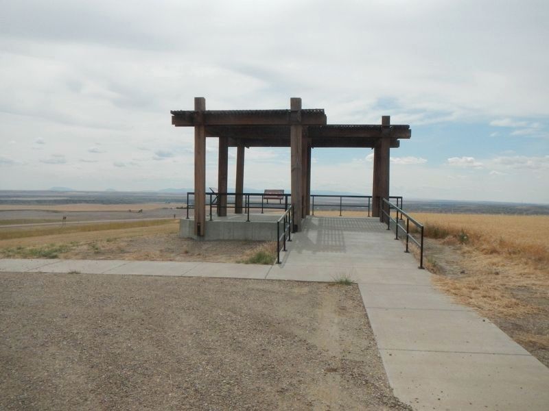
More about this marker. This marker is at an observation deck located atop of a hill a short distance from the highway,
Credits. This page was last revised on November 12, 2019. It was originally submitted on November 12, 2019, by Barry Swackhamer of Brentwood, California. This page has been viewed 219 times since then and 18 times this year. Photos: 1, 2, 3. submitted on November 12, 2019, by Barry Swackhamer of Brentwood, California.


