Near Fallon in Churchill County, Nevada — The American Mountains (Southwest)
What Are Those Rocks Out There?
Sand Springs Deserved its Name
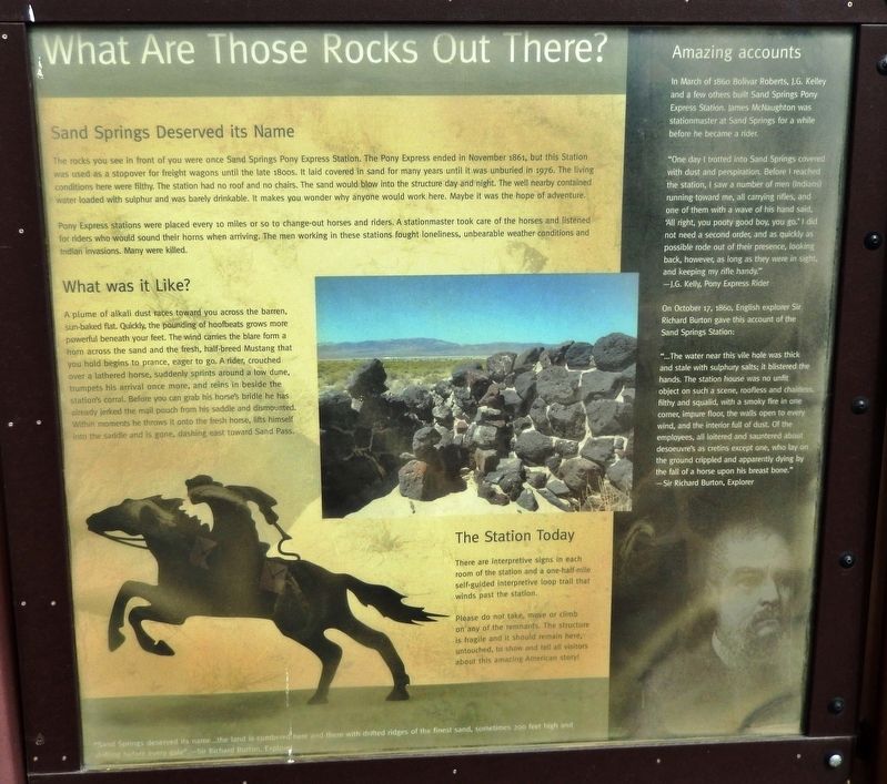
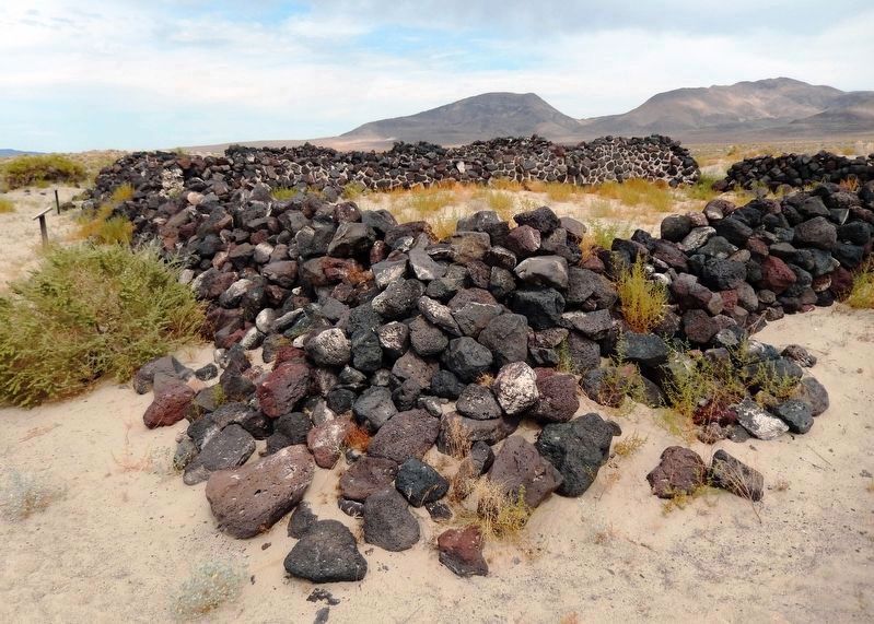
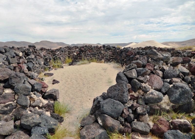
The rocks you see in front of you were once Sand Springs Pony Express Station. The Pony Express ended in November 1861, but this Station was used as a stopover for freight wagons until the late 1800s. It laid covered in sand for many years until it was unburied in 1976. The living conditions here were filthy. The station had no roof and no chairs. The sand would blow into the structure day and night. The well nearby contained water loaded with sulphur and was barely drinkable. It makes you wonder why anyone would work here. Maybe it was the hope of adventure.
Pony Express stations were placed every 10 miles or so to change-out horses and riders. A stationmaster took care of the horses and listened for riders who would sound their horns when arriving. The men working in these stations fought loneliness, unbearable weather conditions and Indian invasions. Many were killed.
What was it Like?
A plume of alkali dust races toward you across the barren, sun-baked flat. Quickly, the pounding of hoofbeats grows more powerful beneath your feet. The wind carries the blare from a horn across the sand and the fresh, half-breed Mustang that you hold begins to prance, eager to go. A rider, crouched over a lathered horse, suddenly sprints around a low dune, trumpets his arrival once more, and reins in beside the station's corral. Before you can grab his horse's bridle he has already jerked the mail pouch from his saddle and dismounted. Within moments he throws it onto the fresh horse, lifts himself into the saddle and is gone, dashing east toward Sand Pass.
The Station Today
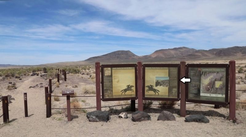
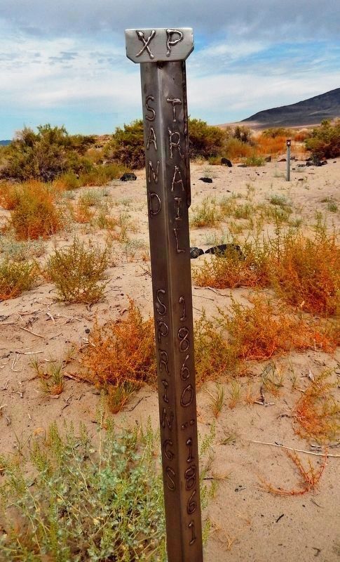
There are interpretive signs in each room of the station and a one-half-mile self-guided interpretive loop trail that winds past the station.
Please do not take, move or climb on any of the remnants. The structure is fragile and it should remain here, untouched, to show and tell all visitors about this amazing American story!
Amazing accounts
In March of 1860 Bolivar Roberts, J.G. Kelley and a few others built Sand Springs Pony Express Station. James McNaughton was stationmaster at Sand Springs for a while before he became a rider.
"One day I trotted into Sand Springs covered with dust and perspiration. Before I reached the station, I saw a number of men (Indians) running toward me, all carrying rifles, and one of them with a wave of his hand said, ‘All right, you pooty good boy, you go.' I did not need a second order, and as quickly as possible rode out of their presence, looking back, however, as long as they were in sight, and keeping my rifle handy." —J.G. Kelly, Pony Express Rider
On October 17, 1860, English
explorer Sir Richard Burton gave this account of the Sand Springs Station:
"...The water near this vile hole was thick and stale with sulphury salts; it blistered the hands. The station house was no unfit object on such a scene, roofless and chairless, filthy and squalid, with a smoky fire in one corner, impure floor, the walls open to every wind, and the interior full of dust. Of the employees, all loitered and sauntered about desoeuvre's as cretins except one, who lay on the ground crippled and apparently dying by the fall of a horse upon his breast bone." —Sir Richard Burton, Explorer
”Sand Springs deserved its name… the land is cumbered here and there with drifted ridges of the finest sand, sometimes 200 feet high and shifting before every gale”. —Sir Richard Burton, Explorer
Topics and series. This historical marker is listed in these topic lists: Communications • Industry & Commerce • Railroads & Streetcars. In addition, it is included in the Pony Express National Historic Trail series list. A significant historical year for this entry is 1860.
Location. 39° 17.426′ N, 118° 24.937′ W. Marker is near Fallon, Nevada, in Churchill County. Marker can be reached from Lincoln Avenue (U.S. 50) 25 miles east of Maine Street (U.S. 95), on the left when traveling east. Marker is
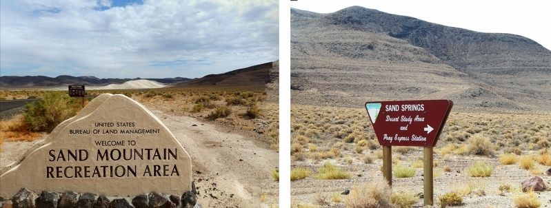
located at the Sand Springs Pony Express Station trailhead, within Sand Mountain Recreation Area, about 25 miles east of Fallon, Nevada, and 2 miles north of US Highway 50. Touch for map. Marker is in this post office area: Fallon NV 89406, United States of America. Touch for directions.
Other nearby markers. At least 6 other markers are within 11 miles of this marker, measured as the crow flies. Swift Steeds Tie East to West (here, next to this marker); Sand Mountain Pony Express Station (about 800 feet away, measured in a direct line); Sand Mountain (approx. 1.1 miles away); Helicopter Antisubmarine Squadron Four Crash Site (approx. 2.4 miles away); Pony Express Route (approx. 8˝ miles away); Fairview (approx. 10.8 miles away).
Credits. This page was last revised on December 22, 2020. It was originally submitted on November 13, 2019, by Cosmos Mariner of Cape Canaveral, Florida. This page has been viewed 294 times since then and 27 times this year. Photos: 1, 2, 3, 4, 5, 6. submitted on November 13, 2019, by Cosmos Mariner of Cape Canaveral, Florida.
