Dover Air Force Base in Kent County, Delaware — The American Northeast (Mid-Atlantic)
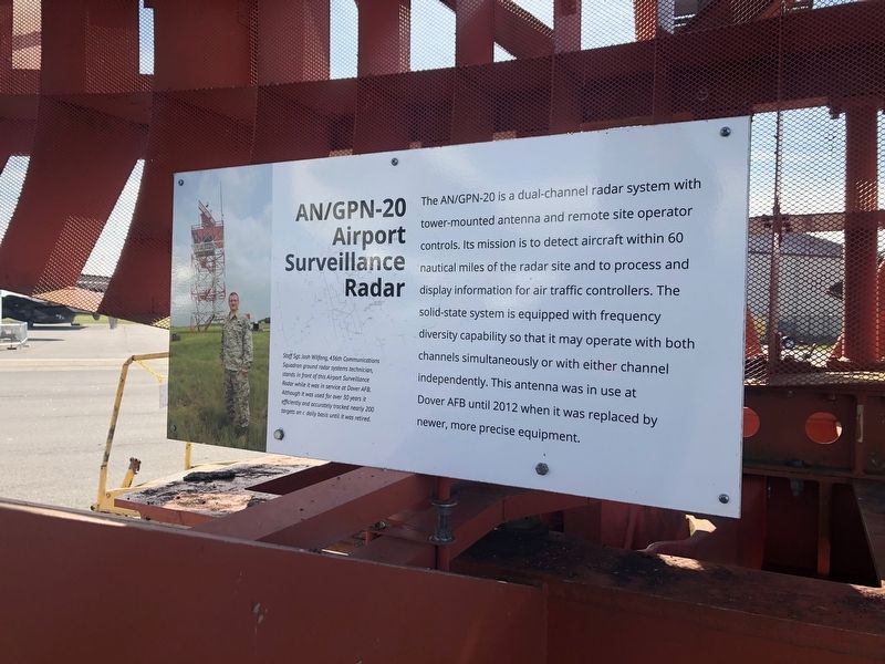
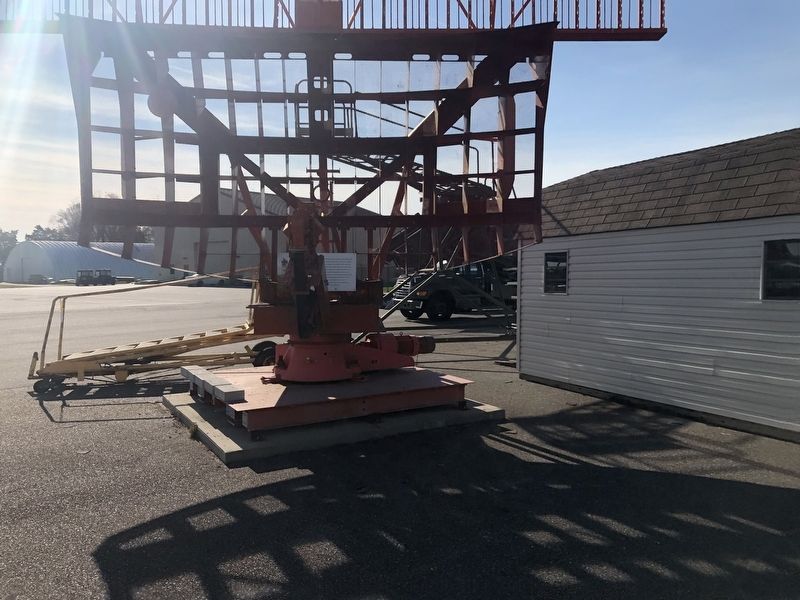
AN/GPN-20 Airport Surveillance Radar

Photographed By Devry Becker Jones (CC0), November 11, 2019
1. AN/GPN-20 Airport Surveillance Radar Marker
The AN/GPN-20 is a dual-channel radar system with tower-mounted antenna and remote site operator controls. Its mission is to detect aircraft within 60 nautical miles of the radar site and to process and display information for air traffic controllers. The solid-state system is equipped with frequency diversity capability so that it may operate with both channels simultaneously or with either channel independently. This antenna was in use at Dover AFB until 2012 when it was replaced with newer, more precise equipment.
[Caption:]
Staff Sgt. Wilfong, 436th Communications Squadron ground radar systems technician, stands in front of this Airport Surveillance Radar while it was in service at Dover AFB. Although it was used for over 30 years it efficiently and accurate tracked nearly 200 targets on a daily basis until it was retired.
Topics. This historical marker is listed in these topic lists: Air & Space • Communications. A significant historical year for this entry is 2012.
Location. 39° 7.03′ N, 75° 27.442′ W. Marker is in Dover, Delaware, in Kent County. It is in Dover Air Force Base. Marker can be reached from Heritage Road, 0.7 miles west of Bayside Drive (Delaware Route 9), on the left when traveling west. Touch for map. Marker is at or near this postal address: 1301 Heritage Road, Dover AFB DE 19902, United States of America. Touch for directions.
Other nearby markers. At least 8 other markers are within walking distance of this marker. KB-50J (a few steps from this marker); C-121C (a few steps from this marker); KC-97L (within shouting distance of this marker); C-124A (within shouting distance of this marker); U-3A (within shouting distance of this marker); KC-135E (within shouting distance of this marker); C-5A (within shouting distance of this marker); C-119G (about 300 feet away, measured in a direct line). Touch for a list and map of all markers in Dover.
Credits. This page was last revised on September 17, 2023. It was originally submitted on November 13, 2019, by Devry Becker Jones of Washington, District of Columbia. This page has been viewed 602 times since then and 90 times this year. Photos: 1, 2. submitted on November 13, 2019, by Devry Becker Jones of Washington, District of Columbia.
