Franz Herbert
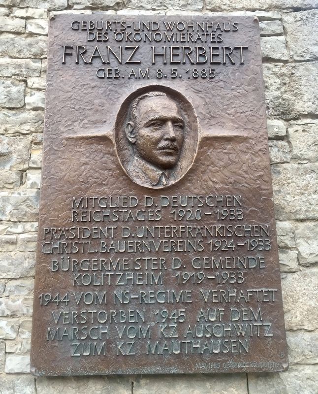
des Ökonomierates
Franz Herbert
Geb. am 8. 5. 1885
Mitglied d. Deutschen
Reichstages 1920-1933
Prasident d. Unterfrankischen
Christl. Bauernvereins 1924-1933
Burgermeister d. Gemeinde
Kolitzheim 1919-1933
1944 vom NS Regime verhaftet
Verstorben 1945 auf dem
Marsch vom KZ Auschwitz
zum KZ Mauthausen
-
Erected 1985 by Gemeinde Kolitzheim.
Topics. This historical marker is listed in this topic list: Government & Politics. A significant historical date for this entry is May 8, 1885.
Location. 49° 55.18′ N, 10° 14.147′ E. Marker is in
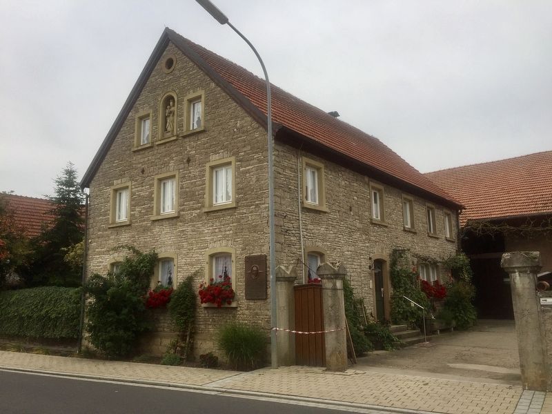
Kolitzheim, Bayern (Bavaria), in Schweinfurt. Marker is on Lindacher Strasse, on the left when traveling west. Touch for map. Marker is at or near this postal address: Lindacher Strasse 1, Kolitzheim BY 97509, Germany. Touch for directions.
Other nearby markers. At least 8 other markers are within 3 kilometers of this marker, measured as the crow flies. Historisches Rathaus / Old City Hall (approx. 2.5 kilometers away); Dorfkirche Lindach / Lindach Village Church (approx. 2.5 kilometers away); Dorfgasthaus Zum Löwen / "At the Lions" Village Inn (approx. 2.5 kilometers away); Dorfkapelle Lindach / Lindach Village Chapel (approx. 2.6 kilometers away); Rathaus / City Hall (approx. 3.3 kilometers away); An den Kirchgaden / "At the Church Hall" Lane (approx. 3.3 kilometers away); Friedhof von 1608 / Cemetery from 1608 (approx. 3.3 kilometers away); Haus der Begegnung / "House of Encounter" (approx. 3.3 kilometers away).
Also see . . . Franz Herbert (Wikipedia, in German). (Submitted on November 27, 2019.)
Credits. This page was last revised on January 28, 2022. It was originally submitted on November 27, 2019, by Andrew Ruppenstein of Lamorinda, California. This page has been viewed 156 times since then and 6 times this year. Photos: 1, 2. submitted on November 27, 2019, by Andrew Ruppenstein of Lamorinda, California.

