Tunnel Hill in Whitfield County, Georgia — The American South (South Atlantic)
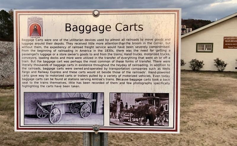
Baggage Carts
Photographed by Mark Hilton, November 19, 2019
1. Baggage Carts Marker
The Tunnel Hill Heritage Center & Museum is to the right.
this page online
Topics. This historical marker is listed in this topic list: Railroads & Streetcars.
Location. 34° 50.4′ N, 85° 2.52′ W. Marker is in Tunnel Hill, Georgia, in Whitfield County. It is on Clisby Austin Drive east of Oak Street, on the left when traveling east. Touch for map. Marker is at or near this postal address: 215 Clisby Austin Drive, Tunnel Hill GA 30755, United States of America. Touch for directions.

Regionally, this marker is in Georgia’s Mountains. It is also in the American South, specifically in the Deep South, in Appalachia, and specifically in Southern Appalachia. Globally, it is in North America, the Western Hemisphere, the Western World, and the Anglosphere. Historically, it finds itself in what was once the original Cherokee Nation, the territory of the Mississippian Culture, one of the original Thirteen Colonies, one of the Confederate States of America, and the Antebellum South.
Photographed by Mark Hilton, November 19, 2019
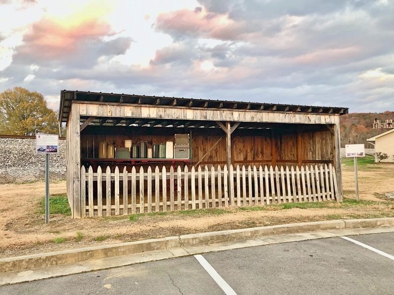
2. Baggage Carts Marker is to the right of the shed.
Note: the suitcases on the left are not period!
Other nearby markers. At least 8 other markers are within walking distance of this marker: Tunnel Hill W&A Railroad Depot (a few steps from this marker); Tunnel Hill (a few steps from this marker); Clisby Austin House (a few steps from this marker); Western & Atlantic Railroad Tunnel (a few steps from this marker); What are Sherman Neckties? (a few steps from this marker); a different marker also named Tunnel Hill (within shouting distance of this marker); a different marker also named The Clisby Austin House (approx. 0.2 miles away); The Reverend Clisby Austin Sr. (approx. 0.2 miles away). Touch for a list and map of all markers in Tunnel Hill.
Photographed by Mark Hilton, November 19, 2019
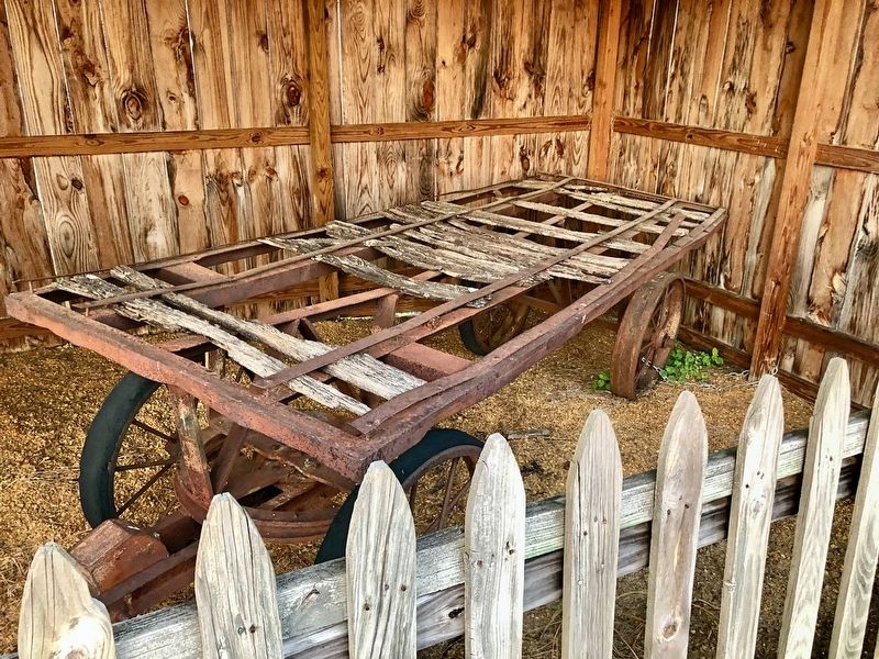
3. Former Baggage Cart.
Credits. This page was last revised on November 27, 2019. It was originally submitted on November 27, 2019, by Mark Hilton of Montgomery, Alabama. This page has been viewed 1,411 times since then and 111 times this year. Photos: 1, 2, 3. submitted on November 27, 2019, by Mark Hilton of Montgomery, Alabama.
