Near Williston in Williams County, North Dakota — The American Midwest (Upper Plains)
Gravel Pits
Inscription.
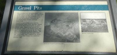
River banks here are underlayed with a stable base of gravel. This was important to the American Fur Company when it selected this site to build Fort Union because its presence stabilized the riverbank from erosion and kept down mud.
Gravel is rare in this area and the commercial value of the deposits almost caused the Fort's destruction in more recent times. Quarrying scarred the landscape until it was halted when this land was acquired in trust by the State Historical Society of North Dakota. The Historical Society held the land while the community and Congress set about establishing Fort Union as a national historic site.
Erected by National Park Service, U.S. Department of the Interior.
Topics. This historical marker is listed in this topic list: Natural Resources.
Location. 47° 59.949′ N, 104° 2.578′ W. Marker is near Williston, North Dakota, in Williams County. Marker is on Mondak Backroad 1 near 143rd Avenue Northwest (State Route 1804), on the left when traveling east. Touch for map. Marker is at or near this postal address: 15550 North Dakota 1804, Williston ND 58801, United States of America. Touch for directions.
Other nearby markers. At least 8 other markers are within walking distance of this marker. Lewis and Clark Trail (here, next to this marker); River Interstates (within shouting distance of this marker); Stepping "Off the Map" in the Louisiana Territory (about 400 feet away, measured in a direct line); Dwelling Range (about 500 feet away); Bourgeois House (about 600 feet away); Riverboat Landing (about 600 feet away); Front Gate (about 600 feet away); Outpost on the Missouri (about 600 feet away). Touch for a list and map of all markers in Williston.
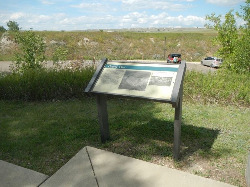
More about this marker. This marker is overlooking the parking lot of Fort Union Trading Post National Historic
Site.
Credits. This page was last revised on December 5, 2019. It was originally submitted on December 5, 2019, by Barry Swackhamer of Brentwood, California. This page has been viewed 148 times since then and 9 times this year. Photos: 1, 2. submitted on December 5, 2019, by Barry Swackhamer of Brentwood, California.

