Near Lake Isabella in Kern County, California — The American West (Pacific Coastal)
Keyesville
California Historical Landmark
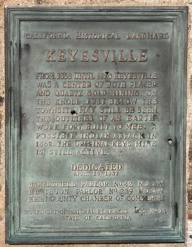
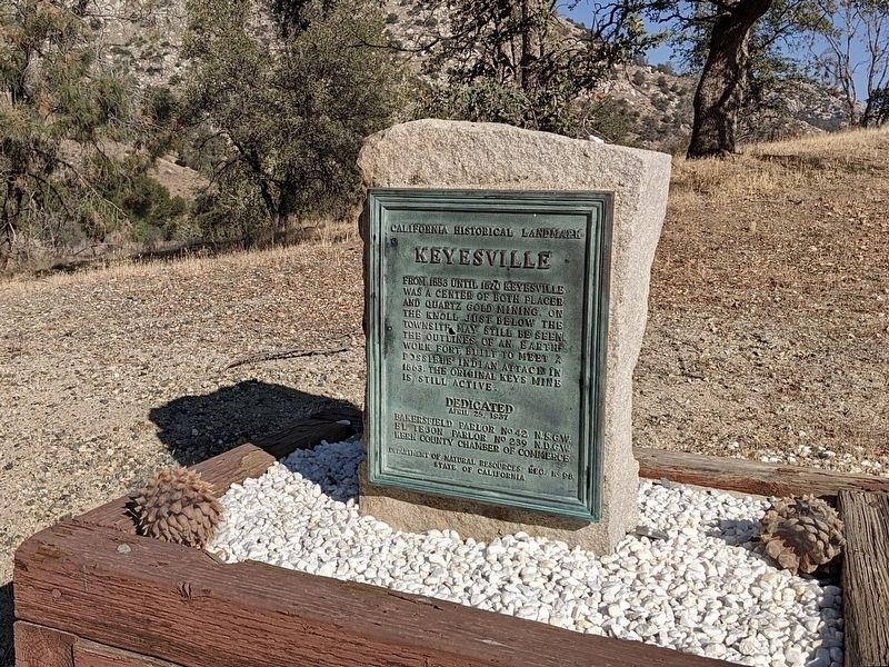
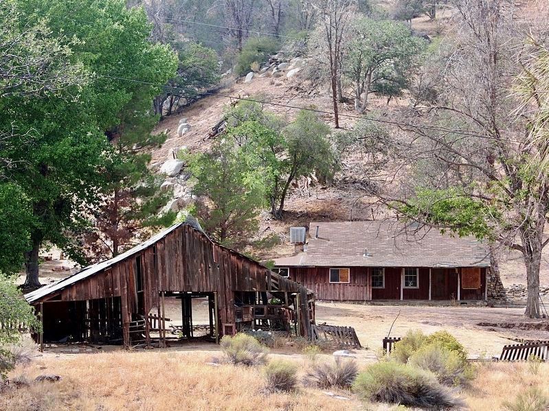
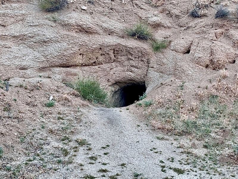
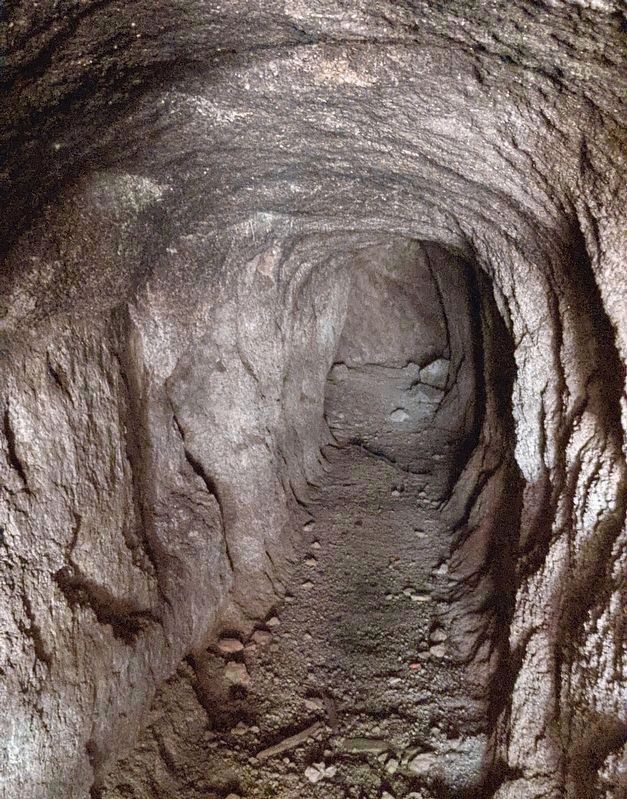
From 1853 until 1870 Keyesville was a center of both placer and quartz gold mining. On the knoll just below the townsite may still be seen the outlines of an earth-work fort, built to meet a possible Indian attack in 1863. The original Keys Mine is still active.
Erected 1937 by NSGW No. 42, NDGW No. 239, Kern County Chamber of Commerce, and Department of Natural Resources of the State of California. (Marker Number 98.)
Topics and series. This historical marker is listed in these topic lists: Forts and Castles • Industry & Commerce • Settlements & Settlers. In addition, it is included in the California Historical Landmarks, and the Native Sons/Daughters of the Golden West series lists.
Location. 35° 37.575′ N, 118° 30.636′ W. Marker is near Lake Isabella, California, in Kern County. Marker is on Keyesville Road, 2 miles west of Highway 155, on the right when traveling west. Touch for map. Marker is in this post office area: Lake Isabella CA 93240, United States of America. Touch for directions.
Other nearby markers. At least 8 other markers are within 8 miles of this marker, measured as the crow flies. USS Arizona (approx. 1.9 miles away); Silver City Ghost Town (approx. 2.3 miles away); Old Isabella (approx. 3.4 miles away); Campsite of Edward Kern (approx. 3.4 miles away); Havilah (approx. 7˝ miles away); Historic Havilah (approx. 7˝ miles away); Stage Robbery! (approx. 7˝ miles away); Kernville Veterans Memorial (approx. 7.6 miles away). Touch for a list and map of all markers in Lake Isabella.
Credits. This page was last revised on December 4, 2023. It was originally submitted on December 3, 2019, by Craig Baker of Sylmar, California. This page has been viewed 331 times since then and 53 times this year. Last updated on December 9, 2019, by Craig Baker of Sylmar, California. Photos: 1. submitted on December 3, 2019, by Craig Baker of Sylmar, California. 2, 3, 4, 5. submitted on December 1, 2023, by Craig Baker of Sylmar, California. • J. Makali Bruton was the editor who published this page.
Editor’s want-list for this marker. Photo of the outlines of an earth-work fort on the knoll just below the townsite - It might be located 100 feet northeast of the marker. • • Can you help?
