San Rafael in Marin County, California — The American West (Pacific Coastal)
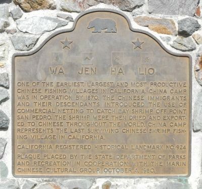
Wa Jen Ha Lio
China Camp
Photographed by Barry Swackhamer, March 27, 2017
1. Wa Jen Ha Lio Marker
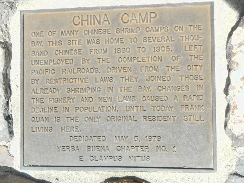
One of many Chinese shrimp camps on the bay, this site was home to several thousand Chinese from 1880 to 1905. Left unemployed by the completion of the Pacific Railroads, driven from the city by restrictive laws, they joined those already shrimping in the bay. Changes in the fishery and new laws caused a rapid decline in population, until today Frank Quan is the only original resident still living here.
Erected 1980 by California Department of Parks and Recreation in cooperation with the Marin Chinese Cultural Group & E. Clampus Vitus, Yerba Buena Chapter No. 1. (Marker Number 924.)
Topics and series. This historical marker is listed in these topic lists: Asian Americans
this page online
Location. 38° 0.115′ N, 122° 27.762′ W. Marker is in San Rafael, California, in Marin County. It is on North San Pedro Road near Biscayne Drive, on the left when traveling east. Touch for map. Marker is at or near this postal address: 897 North San Pedro Road, San Rafael CA 94901, United States of America. Touch for directions.

Regionally, this marker is in the San Francisco Bay Area, in the North Coast, and specifically on the Coast Ranges. It is also on the American Pacific Coast. Globally, it is in North America, on the Ring of Fire, on the Pacific Rim, in the Western Hemisphere, in the Western World, and in the Anglosphere. Historically, it finds itself in what was once New Spain and also Mexico’s Alta California.
Other nearby markers. At least 8 other markers are within 4 miles of this marker, measured as the crow flies: China Camp (about 500 feet away, measured in a direct line); Junk Grace Quan (about 600 feet away); East Brother Light Station
Photographed by Barry Swackhamer, March 27, 2017
2. China Camp Marker
Photographed by Barry Swackhamer, March 27, 2017
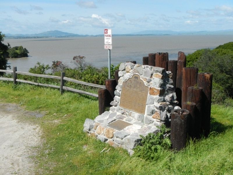
3. Wa Jen Ha Lio and China Camp Markers
Photographed by Barry Swackhamer, March 27, 2017
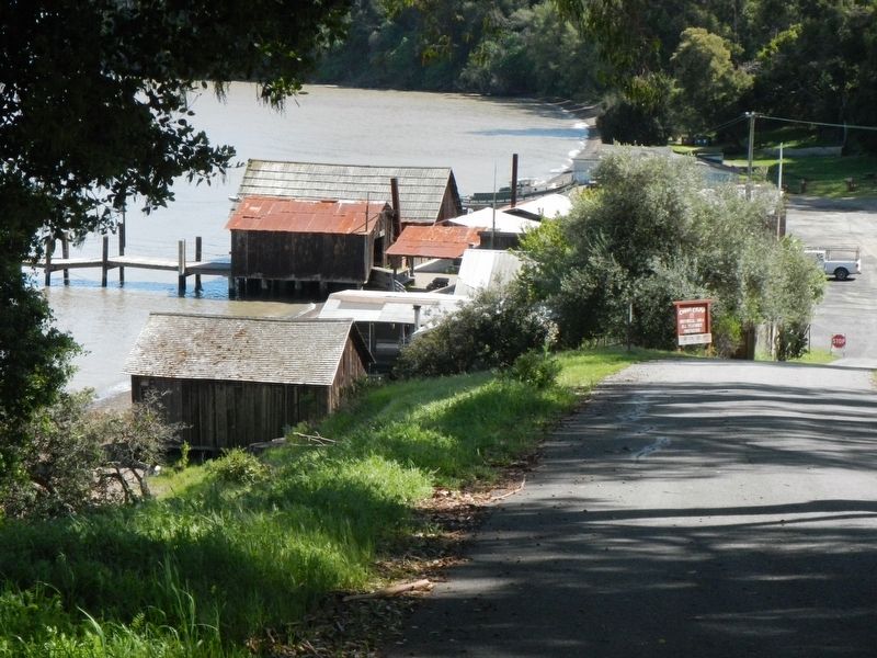
4. China Camp from the bluff
Credits. This page was last revised on December 11, 2019. It was originally submitted on April 2, 2017, by Barry Swackhamer of Brentwood, California. This page has been viewed 738 times since then and 23 times this year. Last updated on December 11, 2019, by Craig Baker of Sylmar, California. Photos: 1, 2, 3, 4. submitted on April 2, 2017, by Barry Swackhamer of Brentwood, California.
