Eisenbahn Trail History
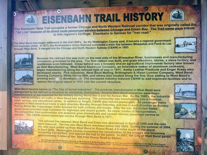
The West Bend area began settlement in the mid-1800's. As the Washington County seat, it became a regional government and business center. In 1873, the Northwestern Union Railroad completed a main line between Milwaukee and Fond du Lac through West Bend. It merged into the Chicago and North Western Railway (C&NW) in 1893.
Because the railroad line was built on the east side of the Milwaukee River, businesses and manufacturing companies gravitated to the area. The first station was built, and grain elevators, stores, a stave factory, and residences soon followed. Close behind was a brewery and an agricultural implements factory later known as Gehl Manufacturing. West Bend Aluminum Company, an innovative maker of aluminum cookware, began manufacturing along the railroad right of way in 1911. Amity Leather Products and Enger Kress also developed nearby. Pick Industries, West Bend Malting, Brittingham & Hixon Lumber Company, West Bend Canning Company, White House Milk, and others also located along the line, thus adding to West Bend's
growing economic development. The increased industry induced C&NW to add improved facilities and to replace the original depot in 1900 with the current structure.West Bend became known as "The City of Varied Industries". The products manufactured in West Bend were transported by the railroad to locations for worldwide distribution. Several West Bend industries were major manufacturers of war materials for the military during World War II and the Korean War. By the 1960's, the industrial base and associated rail traffic in West Bend was declining. The community was transforming into a financial, retail, service, and educational center. In addition to freight, C&NW also moved passengers. All passenger trains stopped in West Bend-four trains in each direction Monday through Saturday, and two in each direction on Sunday. During World War II passenger traffic boomed for both civilians and troops. After the war, the United States government provided large subsidies for highways and airport growth. As newer modes of transportation, the competition from automobiles and airplanes grew dramatically and caused railroad passenger service to decline. The C&NW ceased passenger service through West Bend in 1971.
The railroad line between West Bend and Eden was abandoned in April of 2000 and the rails were removed. The line into West Bend remained active into 2004. During the summer
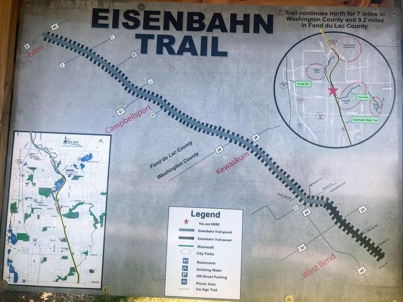
of 2004, the rails were pulled up from West Bend to Rusco Road, 2.5 miles south of the depot. In April 2006, Washington County completed the construction of the bridges and limestone screening trail surface and opened the trail to the public. In 2007, the City of West Bend paved approximately 5 miles of the trial from Rusco Road to Barton.Topics. This historical marker is listed in these topic lists: Railroads & Streetcars • Settlements & Settlers.
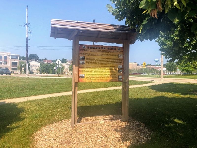
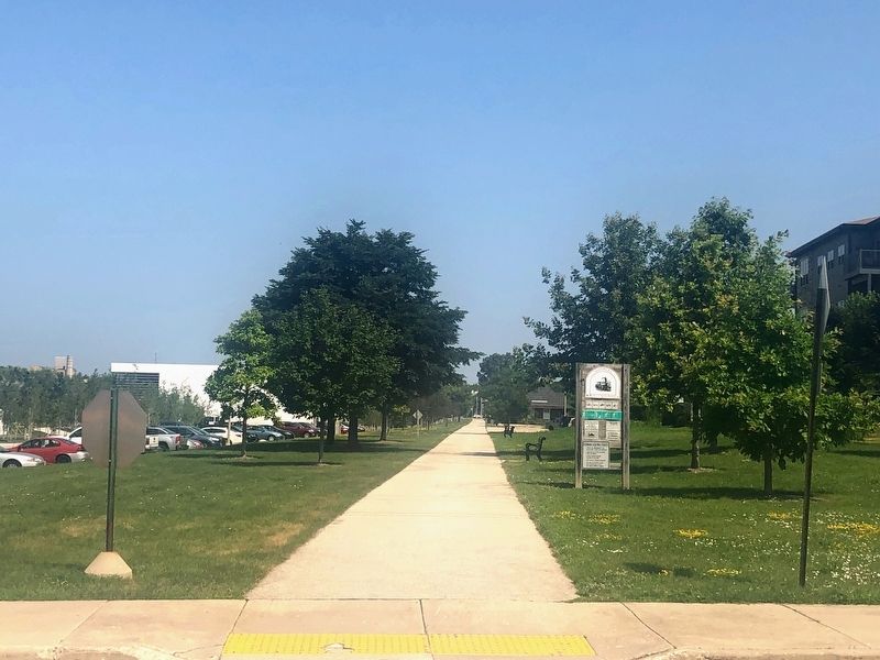
Location. 43° 25.378′ N, 88° 10.793′ W. Marker is in West Bend, Wisconsin, in Washington County. Marker is on Water Street east of Veterans Avenue, on the right when traveling east. The marker is located near the Eisenbahn State Trail parking lot. Touch for map. Marker is at or near this postal address: Water Street, West Bend WI 53095, United States of America. Touch for directions.
Other nearby markers. At least 8 other markers are within walking distance of this marker. Bernhard "Ben" C. Ziegler (approx. 0.2 miles away); James Kneeland House (approx. 0.2 miles away); Old Settlers Triangle (approx. ¼ mile away); Court House Square (approx. ¼ mile away); Washington County Courthouse Square (approx. ¼ mile away); Washington House (approx. ¼ mile away); Stephan F. Mayer Home (approx. 0.4 miles away); The West Bend Aluminum Company (approx. 0.7 miles away). Touch for a list and map of all markers in West Bend.
Credits. This page was last revised on December 16, 2019. It was originally submitted on December 15, 2019, by Devon Polzar of Port Washington, Wisconsin. This page has been viewed 456 times since then and 51 times this year. Photos: 1, 2, 3, 4. submitted on December 15, 2019, by Devon Polzar of Port Washington, Wisconsin. • Mark Hilton was the editor who published this page.


