Near Lewistown in Fergus County, Montana — The American West (Mountains)
Lewiston Satellite Airfield Historic District
Inscription.
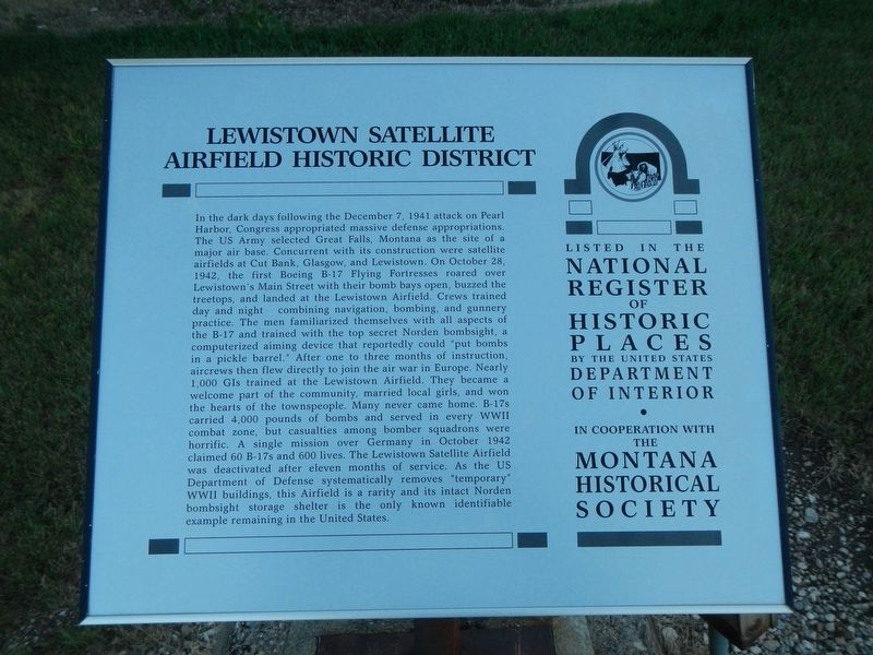
In the dark days following the December 7, 1941, attack on Pearl Harbor, Congress appropriated massive defense appropriations. The US Army selected Great Falls, Montana, as the site of a major air base. Concurrent with its construction were satellite airfields at Cut Bank, Glasgow, and Lewistown. On October 28, 1942, the first Boeing B- 17 Flying Fortresses roared over Lewistown’s Main Street with their bomb bays open, buzzed the treetops, and landed at the Lewistown Airfield. Crews trained day and night combining navigation, bombing, and gunnery practice. The men familiarized themselves with all aspects of the B-17 and trained with the top secret Norden bombsight, a computerized aiming device that reportedly could “put bombs in a pickle barrel.” After one to three months of instruction, aircrews then flew directly to join the air war in Europe. Nearly 1,000 GIs trained at the Lewistown Airfield. They became a welcome part of the community, married local girls, and won the hearts of the townspeople. Many never came home. B-17s carried 4,000 pounds of bombs and served in every World War II combat zone, but casualties among bomber squadrons were horrific. A single mission over Germany in October 1942 claimed 60 B-17s and 600 lives. The Lewistown Satellite Airfield was deactivated after eleven months of service. As the US Department
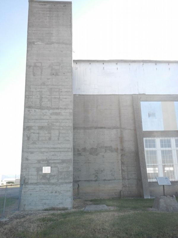
of Defense systematically removes “temporary” World War II buildings, this Airfield is a rarity and its intact Norden bombsight storage shelter is the only known identifiable example remaining in the United States.
Erected by The Montana National Register Sign Program.
Topics and series. This historical marker is listed in these topic lists: Air & Space • War, World II. In addition, it is included in the Montana National Register Sign Program series list.
Location. 47° 2.836′ N, 109° 27.569′ W. Marker is near Lewistown, Montana, in Fergus County. Marker is on Terminal Drive (U-7103) near West Aztec Drive, on the right when traveling north. Touch for map. Marker is in this post office area: Lewistown MT 59457, United States of America. Touch for directions.
Other nearby markers. At least 8 other markers are within walking distance of this marker. Hangar (here, next to this marker); Operations and Alert Building (within shouting distance of this marker); Recreation Building (about 300 feet away, measured in a direct line); Armament Building (about 300 feet away); Crew Chief Building (about 300 feet away); Bombsite Storage Building (about 400 feet away); All Purpose Shop (about 600 feet away); Pre-War Hangar (about 800 feet away). Touch for a list and map of all markers in Lewistown.
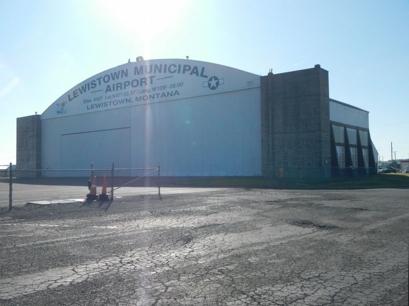
More about this marker. This marker is located at the former Lewistown Satellite Airfield, now the Lewiston Airport.
Also see . . . Lewistown Satellited Airfield Historic District -- National Park Service. The historic district retains all original buildings within its boundaries, with the exception of a guard house previously located southeast of the bombsight storage building. (Submitted on December 16, 2019, by Barry Swackhamer of Brentwood, California.)
Credits. This page was last revised on December 22, 2019. It was originally submitted on December 16, 2019, by Barry Swackhamer of Brentwood, California. This page has been viewed 172 times since then and 18 times this year. Photos: 1, 2, 3. submitted on December 16, 2019, by Barry Swackhamer of Brentwood, California.


