Near Lewistown in Fergus County, Montana — The American West (Mountains)
Lewistown Army Airfield
1942-1943
Photographed by Barry Swackhamer, August 18, 2019
1. Lewistown Army Airfield Marker
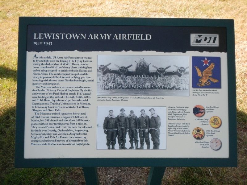
Captions" (top center) 358th Bomb Group - 548th Bomb Squadron at Great Ashfield England circa late June 1943, shortly after leaving Lewistown, Montana.; (bottom center) Airmen at Lewistown Army Air Field in winter flying suits. Pictured taken in January 1943. Temperatures fell to 30 degrees below zero in Lewiston that winter. 2nd Bomb Group - 49th Bomb Squadron Airmen from left to right: S/Sgt. Carl A. Pekkala, Chester Trawczynski, Edward Now, Frank Merril, Robert Tunstall.; (top right) 2nd Air Force commanded bomber training in the western United States during World War II. (bottom right) 2nd Bomb Group, 49th Bomb Squadron; 385th Bomb Group, 548th Bomb Squadron; 390th Bomb Group, 570th Bomb Squadron; 401st Bomb Group. 615th Bomb Squadron.
The Montana airbases were constructed in record time by the US Army Corps of Engineers. By the first anniversary of the Pearl Harbor attack, B-17 aircraft were landing at this airfield. The 49th, 548th, 570th, and 615th Bomb Squadrons all preformed crucial Organizational Training Unit missions in Montana. B-17 training bases were also located at Cut Bank, Glasgow, and Great Falls.
The Montana-trained squadrons flew a total of 1263 combat missions, dropped 71,128 tons of bombs, lost 548 aircraft and shot down 1018 enemy planes without ever turning away from a mission. They earned Presidential Unit Citations for valor and fortitude over Leipzig, Oscherslaben, Regensberg, Schweinfurt, Steyr
this page online
Erected by Montana Department of Transportation.
Topics. This historical marker is listed in these topic lists: Air & Space • War, World II.
Location. 47° 3.308′ N, 109° 27.568′ W. Marker is near Lewistown, Montana, in Fergus County. It is on U.S. 87 near H Street, on the left when traveling west. Touch for map. Marker is in this post office area: Lewistown MT 59457, United States of America. Touch for directions.

Regionally, this marker is in andspecifically entral Montana in Russell Country. It is also in the American Mountain West and in the Lewis & Clark Corridor. Globally, it is in North America, the Western Hemisphere, the Western World, and the Anglosphere. Historically, it finds itself in what was once Rupert’s Land and also the Louisiana Purchase.
Other nearby markers. At least 8 other markers are within walking distance of this marker: The Nez Perce Conflict of 1877 (a few
Photographed by Barry Swackhamer, August 18, 2019
2. Lewistown Army Airfield Marker
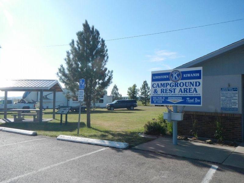
The marker is next to the picnic table.
More about this marker. This marker is located at the Kiwanis Club Campground.
Credits. This page was last revised on December 17, 2019. It was originally submitted on December 17, 2019, by Barry Swackhamer of Brentwood, California. This page has been viewed 484 times since then and 35 times this year. Photos: 1, 2. submitted on December 17, 2019, by Barry Swackhamer of Brentwood, California.
