Ovando in Powell County, Montana — The American West (Mountains)
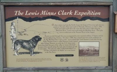
The Lewis Minus Clark Expedition
Lewis through Blackfoot Country
Lewis traveled through this area accompanied by nine mounted soldiers, 17 horses, and his Newfoundland dog, Seaman. On July 5, 1806, they camped near here at the confluence of the Big Blackfoot River and a creek. Lewis named the creek Seaman's Creek after his dog. Today Seaman Creek is called Monture Creek, named after George Monture, an early day U.S. Army scout. Lewis described this part of the valley as "prarie of the knobs" because of the mounds along the trail, some of which can still be seen today. The trail was called "COKALAHJSHKHT" or "The River of the Road to the Buffalo" as it was known to the Nez Perce.
From here they "Proceeded On" to the east, past Lincoln, up Alice Creek, and across the Continental Divide. The place they crossed the Continental Divide is known today as "Lewis and Clark Pass", even through Clark was never here!
The "knobs" that Lewis described were caused by glacier dumping rocks along their edges and down icy holes and cracks within the glacier. The glaciers that left these knobs began to melt and slowly retreat to the north some 10,000 to 12,000 years ago. See picture at the lower right.
Erected by Forest Service, US Department of the Interior; Lewis and Clark Trail Commission.
Topics and series. This historical marker is listed in this topic list: Exploration. In addition, it is included in the Lewis & Clark Expedition series list. A significant historical date for this entry is July 5, 1806.
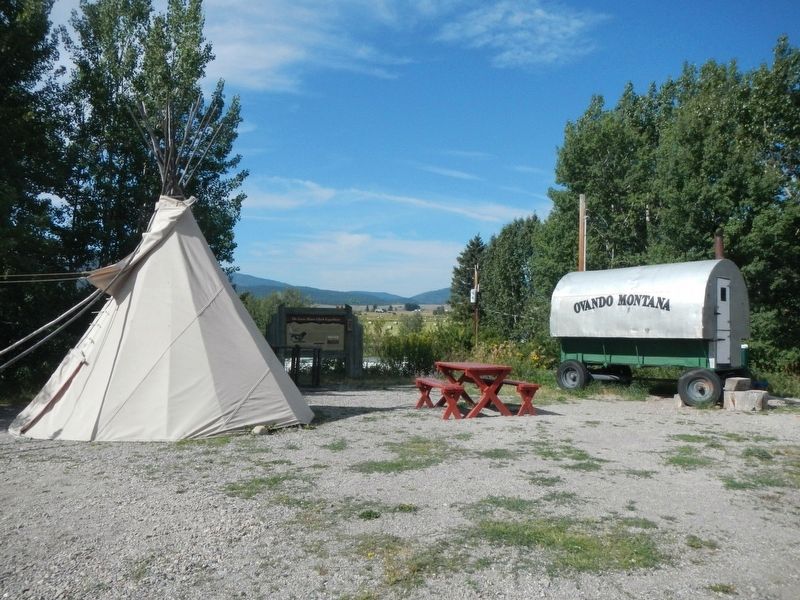
Location. 47° 1.192′ N, 113° 7.969′ W. Marker is in Ovando, Montana, in Powell County. Marker is on Main Street near Pine Street, on the left when traveling west. Touch for map. Marker is at or near this postal address: 403 Main Street, Ovando MT 59854, United States of America. Touch for directions.
Other nearby markers. At least 4 other markers are within 9 miles of this marker, measured as the crow flies. Early Ovando Years (within shouting distance of this marker); Seaman (approx. 4.3 miles away); The Bob Marshall Wilderness Country (approx. 5.4 miles away); The Blackfoot River Corridor (approx. 8.3 miles away).
Credits. This page was last revised on January 2, 2020. It was originally submitted on January 2, 2020, by Barry Swackhamer of Brentwood, California. This page has been viewed 209 times since then and 19 times this year. Photos: 1, 2. submitted on January 2, 2020, by Barry Swackhamer of Brentwood, California.

