Worcester in Otsego County, New York — The American Northeast (Mid-Atlantic)
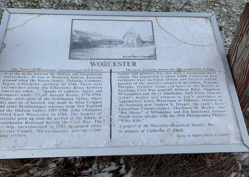
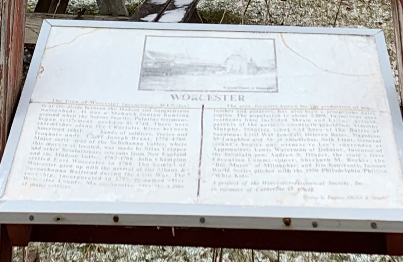
Worcester
The Town of Worcester (pronounced wUS-ter) is at the divide between the Hudson and Susquehanna watersheds. It was a Mohawk, Indian hunting ground when the Servos family, Palatine Germans, began settlement, perhaos by 1740. There were skirmishes along the Charlotte River between American rebels and bands of soldiers, Tories and Iroquois under Chief Joseph Brant, 1774-1780. Major settlement of the Schohanna Valley, where this marker’s located, was made by Silas Crippen and other Revolutionary veterans from New England and the Hudson Valley, 1787-1788. John Champion settled East Worcester in 1788. The hamlet of Worcester grew up with the arrival of the Albany & Susquehanna Railroad during the Civil War. The township, incorporated in 1797 is named after Worcester County, Massahusetts, previous home of many settlers.
The area, formerly known for the production of hops, lumber and potatoes, has also been a prosperous dairy region. The population is about 2,000. Prominent area residents have included Abram and Eliza Garfield, parents of the nation's twentieth president; Timothy Murphy, frontier scout and hero of the Battle of Saratoga; Civil War generals Delevan Bates, Napoleon McLaughlen and Abner Doubleday; Seth Flint, General Grant's bugler and witness to Lee's surrender at Appomattox; Lewis Waterman of Decatur, inventor of the fountain pen; Andrew S. Draper, the state's first Education Commissioner; Sherburn M. Becker, the “Boy Mayor” of Milwaukee; and Jim Konstanty, famous World Series pitcher with the 1950 Philadelphia Phillies "Whiz Kids."
* A project of the Worcester Historical Society, Inc. in memory of Catherine O. Clark
Display by Empire Signs & Graphics
Erected by Worcester Historical Society.
Topics and series. This historical marker is listed in this topic list: Settlements & Settlers. In addition, it is included in the Former U.S. Presidents: #18 Ulysses S. Grant series list. A significant historical year for this entry is 1740.
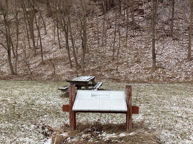
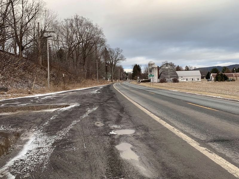
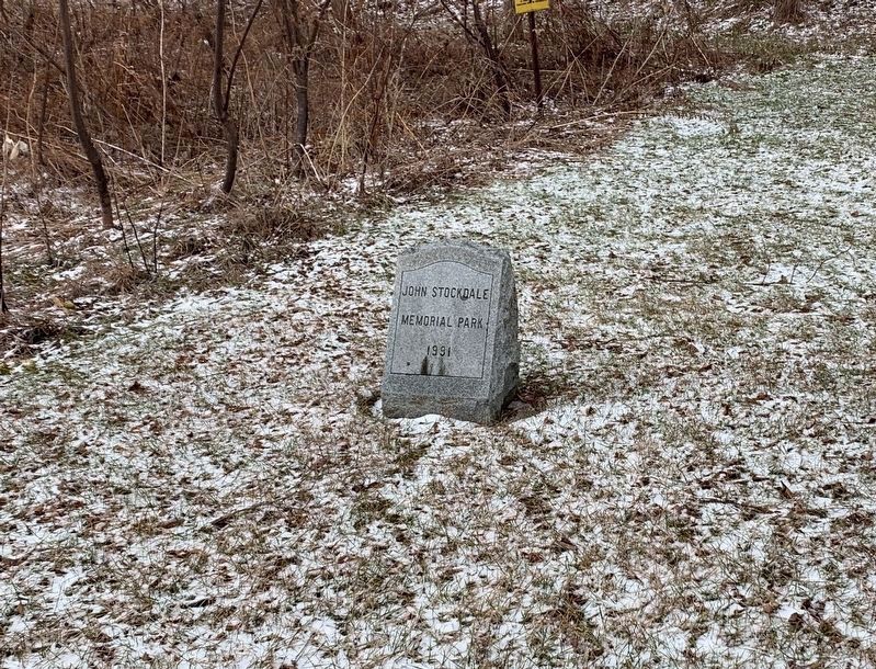
Location. 42° 35.358′ N, 74° 45.622′ W. Marker is in Worcester, New York, in Otsego County. Marker is on Main Street (New York State Route 7) 0.6 miles west of Decatur Street (County Route 39), on the right when traveling west. The marker is located just before the town line in John Stockdale Memorial Park. Touch for map. Marker is in this post office area: Worcester NY 12197, United States of America. Touch for directions.
Other nearby markers. At least 8 other markers are within 6 miles of this marker, measured as the crow flies. First Church (approx. 0.7 miles away); Welcome To Worcester (approx. 1.2 miles away); Garfield Farm (approx. 1.3 miles away); Town of Maryland Civil War Memorial (approx. 4.4 miles away); Westford Veterans Monument (approx. 4.7 miles away); Murphy Home (approx. 5.2 miles away); People's College (approx. 5.7 miles away); Site of Charlotteville Seminary (approx. 5.7 miles away). Touch for a list and map of all markers in Worcester.
Also see . . .
1. Town of Worcester, NY. (Submitted on January 11, 2020, by Michael Herrick of Southbury, Connecticut.)
2. Worcester, New York (Wikipedia). (Submitted on January 11, 2020, by Michael Herrick of Southbury, Connecticut.)
Credits. This page was last revised on January 11, 2020. It was originally submitted on January 9, 2020, by Steve Stoessel of Niskayuna, New York. This page has been viewed 848 times since then and 247 times this year. Photos: 1, 2, 3, 4, 5. submitted on January 9, 2020, by Steve Stoessel of Niskayuna, New York. • Michael Herrick was the editor who published this page.
