Near South Shore in Greenup County, Kentucky — The American South (East South Central)
Bennett’s Mill Bridge
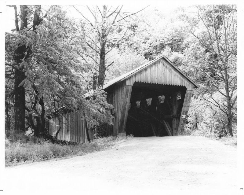
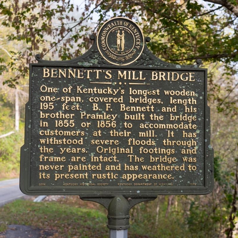
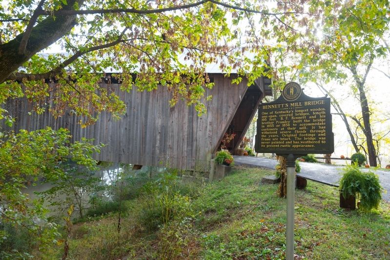
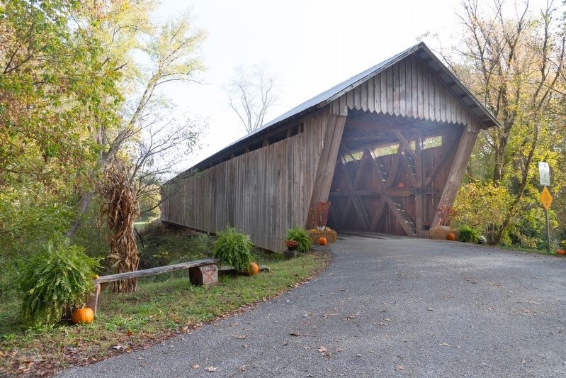
One of Kentucky’s longest wooden one-span covered bridges, length 195 feet. B.F. Bennett and his brother Pramley built the bridge in 1855 or 1856 to accommodate customers at their mill. It has withstood severe floods through the years. Original footings and frame are intact. The bridge was never painted and has weathered to its present rustic appearance.
Erected 2006 by Kentucky Historical Society / Kentucky Department of Highways. (Marker Number 1076.)
Topics and series. This historical marker is listed in this topic list: Bridges & Viaducts. In addition, it is included in the Covered Bridges, and the Kentucky Historical Society series lists. A significant historical year for this entry is 1855.
Location. 38° 37.83′ N, 82° 55.631′ W. Marker is near South Shore, Kentucky, in Greenup County. Marker is at the intersection of Kentucky Route 7 and Brown Cover Bridge Road (Kentucky Route 1215), on the right when traveling south on State Route 7. It is eight miles south of South Shore. Touch for map. Marker is in this post office area: South Shore KY 41175, United States of America. Touch for directions.
Other nearby markers. At least 8 other markers are within 7 miles of this marker, measured as the crow flies. New Hampshire Furnace / Iron Made in Kentucky (approx. 2½ miles away); Jesse Stuart (1906-1984) (approx. 3.6 miles away); Raccoon Furnace / Iron Made in Kentucky (approx. 6.1 miles away); A Masterful Retreat (approx. 6.1 miles away); County Named, 1803 (approx. 6.1 miles away); Jesse Stuart (approx. 6.1 miles away); Greenup “Town Fathers” (approx. 6.1 miles away); McKee House (approx. 6½ miles away).
Regarding Bennett’s Mill Bridge. The bridge is still in use. It crosses Tygarts Creek. It was listed on the National Register of Historic Places in 1976.
Also see . . .
1. Bennett's Mill Covered Bridge. Kentucky Tourism website entry (Submitted on April 24, 2023, by Larry Gertner of New York, New York.)
2. Bennett's Mill Covered Bridge. Wikipedia entry (Submitted on April 24, 2023, by Larry Gertner of New York, New York.)

via NPS, unknown
4. Bennett’s Mill Covered Bridge
National Register of Historic Places Nomination form
at NPGallery Digital Asset Management System
Click for more information.
at NPGallery Digital Asset Management System
Click for more information.
Credits. This page was last revised on August 14, 2023. It was originally submitted on January 12, 2020, by J. J. Prats of Powell, Ohio. This page has been viewed 252 times since then and 38 times this year. Photos: 1, 2, 3. submitted on January 12, 2020, by J. J. Prats of Powell, Ohio. 4. submitted on April 24, 2023, by Larry Gertner of New York, New York.


