Alpine in Bergen County, New Jersey — The American Northeast (Mid-Atlantic)
1776: British Invasion of New Jersey
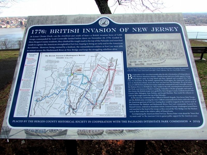
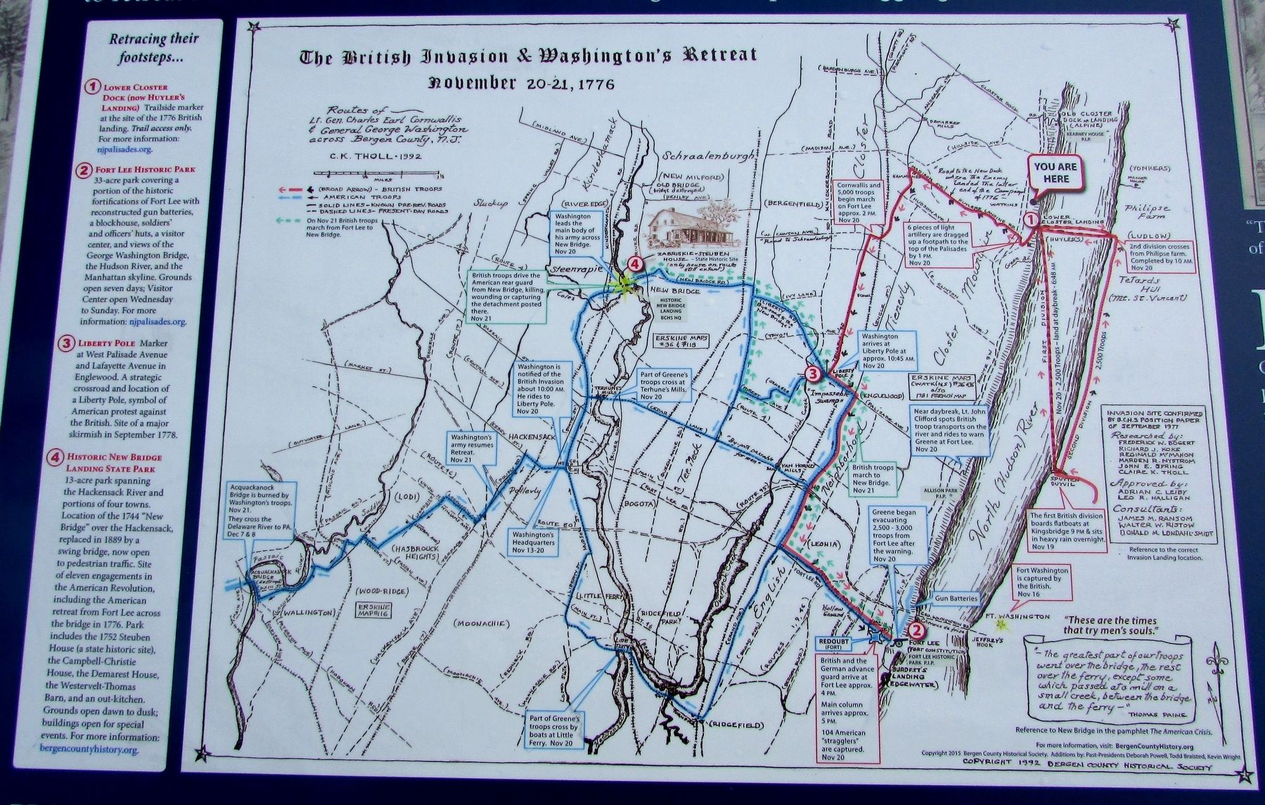
At Lower Closter Dock – on the riverfront just south of here – a British invasion force of 5,000 troops commanded by Lord Cornwallis landed before dawn on November 20, 1776. Guided by three Bergen County residents, they climbed the rough road to the top of the Palisades and marched south to capture the American stronghold at Fort Lee, hoping to bring an early end to the American Revolution. However, being warned by a lookout, the outnumbered soldiers at Fort Lee were able to retreat across the Hackensack River at New Bridge and keep the struggling rebellion alive.
By September 1776 – two short months after the July 4 Declaration of Independence of the thirteen American colonies – British troops had won a battle against George Washington’s army on Long Island and then captured and occupied New York City. On November 16, the British captured Fort Washington, the Americans’ last outpost on Manhattan Island. Across the river was Fort Lee. On November 20, an invasion force of 5,000 British and Hessian troops under the command of Lord Cornwallis crossed the Hudson River in 200 flatboats. They landed in the early morning hours at Lower Closter Dock, now known as Huyler’s Landing. Unfamiliar with the geography and roads of New Jersey, the British troops were guided by three Bergen County residents loyal to the Crown: John Aldington, Isaac Perkins, and Joseph Hawkins. They made the arduous ascent up the rough road to the top of the Palisades.
As the sun rose, Lieutenant John Clifford of Heard’s Brigade, New Jersey State Troops, saw the British army crossing the river. Clifford commandeered a horse and rode to alert the American garrison at Fort Lee. Fearing they would be trapped on the narrow neck of land between the Hudson and Hackensack Rivers, Fort Lee’s commander, General Nathanael Greene, ordered an immediate retreat. General George Washington joined them and marched at the head of the troops as they crossed the New Bridge over the Hackensack on their route to the relative safety of Pennsylvania.
Accompanying the Americans from Fort Lee, Thomas Paine wrote about the “times that try men’s souls” in The American Crisis to garner public support for the American cause.
Placed by the Bergen County Historical Society in cooperation with the Palisades Interstate Park Commission • 2019
< Sidebar: >
Retracing their footsteps . .
1) Lower Closter Dock (now Huyler’s Landing) . Trailside marker at the site of 1776 British landing. Trail access only. For more information: njpalisades.org.
2) Fort Lee Historical Park
33-acre park covering a portion of the historic fortifications of Fort Lee with reconstructed gun batteries, a blockhouse, soldiers’ and officers’ huts, a visitor center, and views of the George Washington Bridge, the Hudson River, and the Manhattan skyline. Grounds open seven days; Visitor Center open Wednesday to Sunday. For more information: njpalisades.org.
3) Liberty Pole Marker at West Palisade Avenue and Lafayette Avenue in Englewood. A strategic crossroad and location of a Liberty Pole, symbol of American protest against the British. Site of a major skirmish in September 1778.
4) Historic New Bridge Landing State Park
13-acre park spanning the Hackensack River and portions of four towns. Location of the 1744 “New Bridge” over the Hackensack, replaced in 1889 by a swing bridge, now open to pedestrian traffic. Site of eleven engagements in the American Revolution, including the American retreat from Fort Lee across the bridge in 1776. Park includes the 1752 Steuben House (a state historic site), the Campbell-Christie House, the Demarest House, the Westervelt Thomas Barn, and an out-kitchen. Grounds open dawn to dusk; building open for special events. For more information: bergencountyhistory.org.
Erected 2019 by Bergen County Historical Society and Palisades Interstate Park Commission.
Topics and series. This historical marker is listed in this topic list: War, US Revolutionary. In addition, it is included in the Former U.S. Presidents: #01 George Washington series list. A significant historical date for this entry is November 20, 1776.
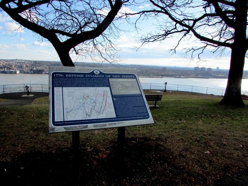
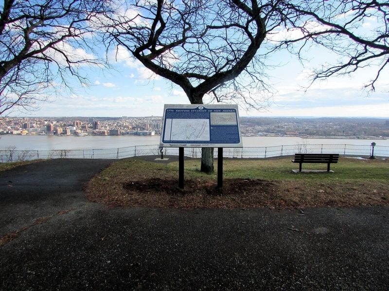
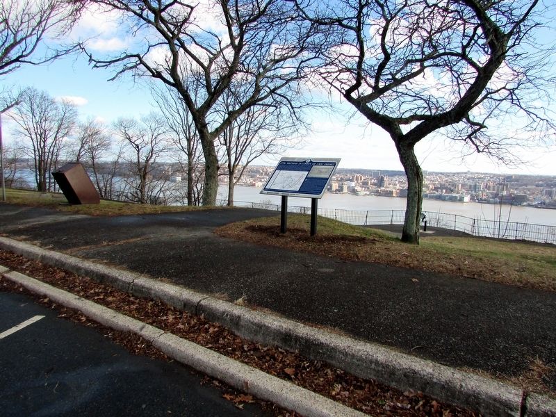
Location. 40° 55.869′ N, 73° 55.594′ W. Marker is in Alpine, New Jersey, in Bergen County. Marker is on Palisades Interstate Parkway, on the right when traveling north. Marker is located in the Alpine Overlook on the Palisades Interstate Parkway. Touch for map. Marker is in this post office area: Alpine NJ 07620, United States of America. Touch for directions.
Other nearby markers. At least 8 other markers are within 2 miles of this marker, measured as the crow flies. Lower Closter or New Dock (approx. 0.3 miles away); Rionda’s Tower (approx. 0.4 miles away); Along the Palisades Riverfront (approx. 1.1 miles away); Closter Dock Road (approx. 1.2 miles away); Cornwallis Headquarters (approx. 1.2 miles away); The Old Alpine Trail (approx. 1.2 miles away); Untangling Folklore from Fact (approx. 1.2 miles away); Alpine Community Church (approx. 1.2 miles away). Touch for a list and map of all markers in Alpine.
More about this marker. The upper right of the marker contains a painting of the British crossing the Hudson River and scaling the Palisades. It has a caption of “ ‘The landing of the British forces in the Jerseys on the 20th of November 1776 under the command of the Rt. Honl. Lieut. Genl. Earl Cornwallis.’ Print Collection, The New York Public Library.”
A map of “The British Invasion & Washington’s Retreat November 20-21, 1776.” appears next to the sidebar on the left of the marker. It indicates the sites listed in the “Retracing their footsteps . . . ” sidebar, as well as the routes taken by British/Hessian advance on Fort Lee and the American retreat across New Jersey.
Credits. This page was last revised on January 16, 2020. It was originally submitted on January 16, 2020, by Bill Coughlin of Woodland Park, New Jersey. This page has been viewed 2,094 times since then and 151 times this year. Photos: 1, 2, 3, 4, 5. submitted on January 16, 2020, by Bill Coughlin of Woodland Park, New Jersey.
