Lexington in Cleveland County, Oklahoma — The American South (West South Central)
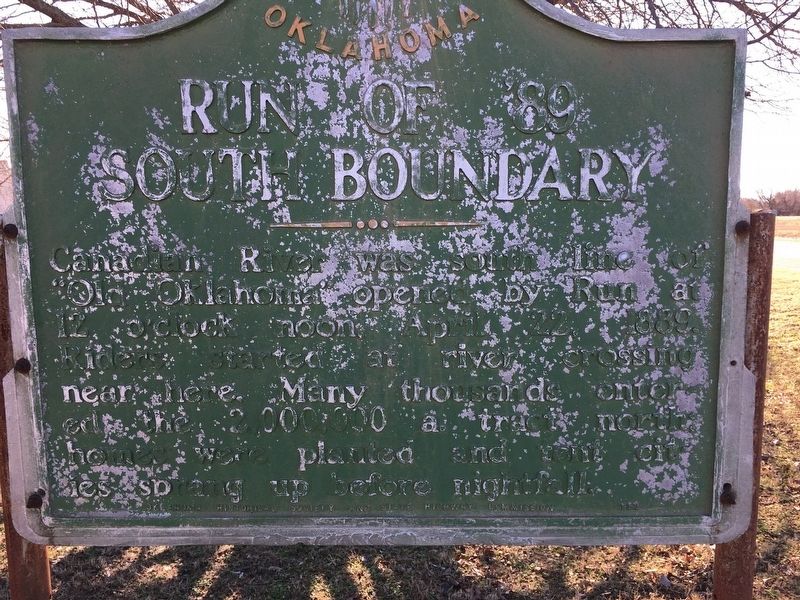
Run of '89 South Boundary
Canadian River was south line of “Old Oklahoma” opened by Run at 12 o’clock noon, April 22, 1889. Riders started at river crossing near here. Many thousands entered the 2,000,000 a. tract north: homes were planted and tent cities sprang up before nightfall.
Erected 1951 by Oklahoma Historical Society and State Highway Commission.
Topics and series. This historical marker is listed in this topic list: Settlements & Settlers. In addition, it is included in the Oklahoma Historical Society series list. A significant historical date for this entry is April 22, 1889.
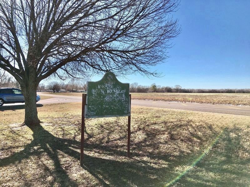
Location. 35° 1.225′ N, 97° 20.179′ W. Marker is in Lexington, Oklahoma, in Cleveland County. Marker is at the intersection of U.S. 77 and '89er Park Street, on the right when traveling north on U.S. 77. The marker is located in Lexington's '89er Park. Touch for map. Marker is at or near this postal address: 815 N Main Street, Lexington OK 73051, United States of America. Touch for directions.
Other nearby markers. At least 8 other markers are within 8 miles of this marker, measured as the crow flies. Col. John L. Smith (a few steps from this marker); Camp Holmes Treaty (a few steps from this marker); Purcell (approx. 1˝ miles away); Desert Storm Honor Roll (approx. 1˝ miles away); 46th State (approx. 1˝ miles away); Confederate Memorial (approx. 1˝ miles away); Hotel Love (approx. 1˝ miles away); California Trail (approx. 7˝ miles away). Touch for a list and map of all markers in Lexington.
Credits. This page was last revised on January 23, 2020. It was originally submitted on January 18, 2020, by Jerome Walker of Moore, Oklahoma. This page has been viewed 248 times since then and 13 times this year. Photos: 1, 2. submitted on January 19, 2020, by Jerome Walker of Moore, Oklahoma. • J. Makali Bruton was the editor who published this page.
Editor’s want-list for this marker. Clearer photo of marker. • Can you help?

