Orinda in Contra Costa County, California — The American West (Pacific Coastal)
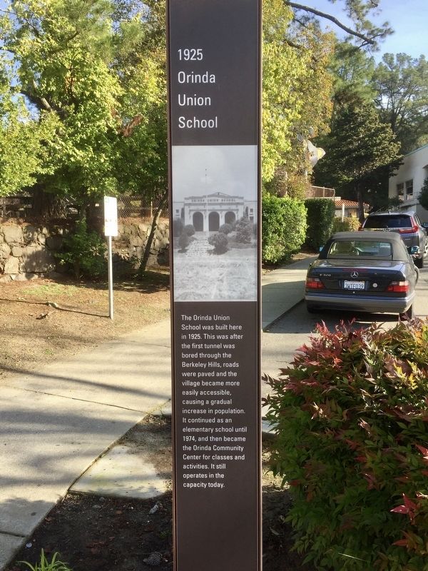
1925 Orinda Union School
Photographed by Andrew Ruppenstein, January 31, 2020
1. 1925 Orinda Union School Marker
Erected 2019.
Topics. This historical marker is listed in this topic list: Education. A significant historical year for this entry is 1925.
Location. 37° 52.984′ N, 122° 11.318′ W. Marker is in Orinda, California, in Contra Costa County. It is on Orinda Way, on the right when traveling north. Touch for map. Marker is at or near this postal address: 28 Orinda Way, Orinda CA 94563, United States of America. Touch for directions.

Regionally, this marker is in the San Francisco Bay Area and on the Coast Ranges. It is also on the American Pacific Coast. Globally, it is in North America, on the Ring of Fire, on the Pacific Rim, in the Western Hemisphere, in the Western World, and in the Anglosphere. Historically,
this page online
Other nearby markers. At least 8 other markers are within walking distance of this marker: Orinda Village (within shouting distance of this marker); Orinda School (within shouting distance of this marker); Did You Know that Orinda Once Had a Railroad? (within shouting distance of this marker); Community Park (about 300 feet away, measured in a direct line); 1958 The Orinda Library (about 500 feet away); 1923 The Fire House (about 600 feet away); Santa Maria Church Bell (about 800 feet away); 1923 Orinda Improvement Association (approx. 0.2 miles away). Touch for a list and map of all markers in Orinda.
Photographed by Andrew Ruppenstein, January 31, 2020
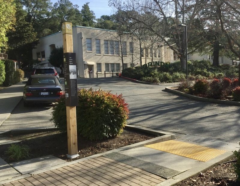
2. 1925 Orinda Union School Marker - wide view
The Orinda Union School (now the Community Center) is visible in the background.
Photographed by Andrew Ruppenstein, January 31, 2020
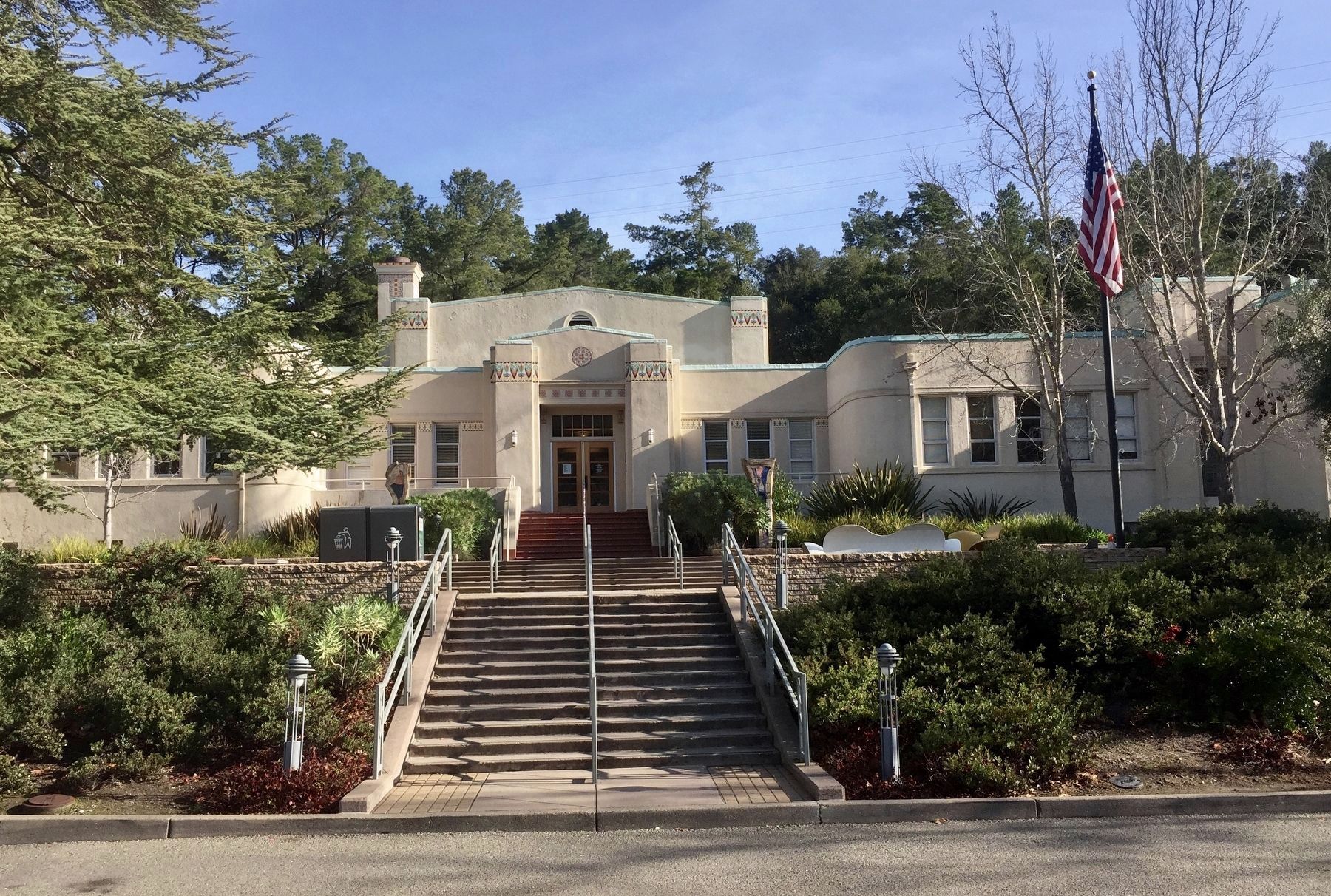
3. The former Orinda Union School
The building was greatly expanded and altered in 1939, hence the numerous differences between this photo and that of the school, below.
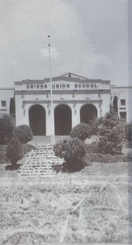
4. Marker inset photo: Orinda Union School
Photographed by Andrew Ruppenstein, January 31, 2020
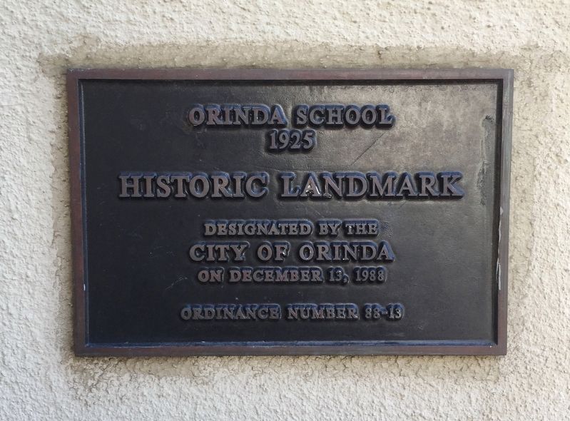
5. Orinda School Historic Landmark Plaque (located at the front door of the Community Center)
The school was given historic landmark status by the city council in 1988.
Credits. This page was last revised on January 31, 2020. It was originally submitted on January 31, 2020, by Andrew Ruppenstein of Lamorinda, California. This page has been viewed 474 times since then and 29 times this year. Photos: 1, 2, 3, 4, 5. submitted on January 31, 2020, by Andrew Ruppenstein of Lamorinda, California.
