Mexia in Limestone County, Texas — The American South (West South Central)
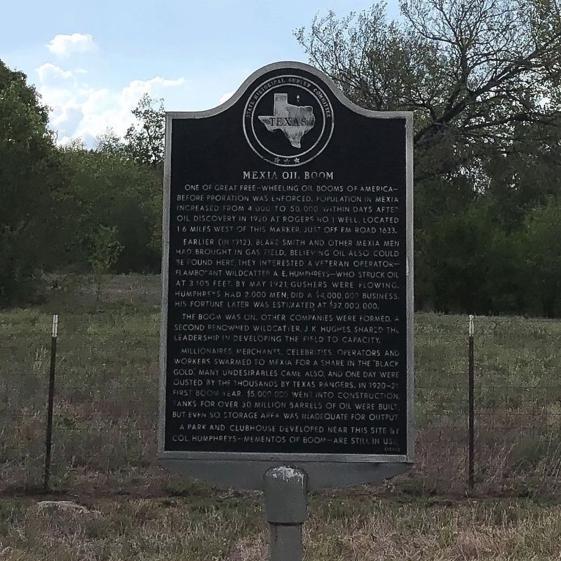
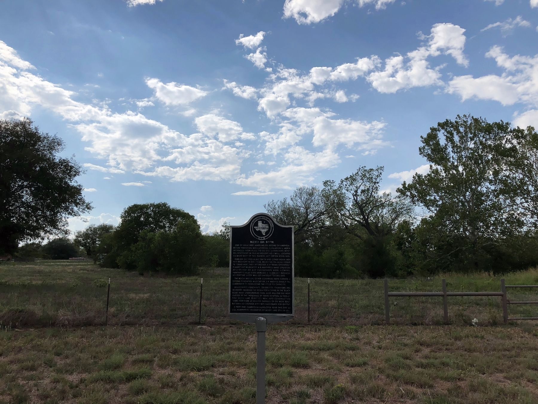
Mexia Oil Boom
One of great free-wheeling oil booms of America -- before proration was enforced. Population in Mexia increased from 4,000 to 50,000 within days after oil discovery in 1920 at Rogers No. 1 Well, located 1.6 miles west of this marker, just off FM Road 1633.
Earlier (in 1912), Blake Smith and other Mexia men had brought in gas field. Believing oil also could be found here, they interested a veteran operator flamboyant wildcatter A. E. Humphreys -- who struck oil at 3,105 feet. By May 1921 gushers were flowing. Humphreys had 2,000 men; did a $4,000,000 business. His fortune later was estimated at $37,000,000.
The boom was on. Other companies were formed. A second renowned wildcatter, J. K. Hughes, shared the leadership in developing the field to capacity.
Millionaires, merchants, celebrities, operators and workers swarmed to Mexia for a share in the "Black Gold." Many undesirables came also, and one day were ousted by the thousands by Texas Rangers. In 1920-1921 first boom year, $5,000,000 went into construction; tanks for over 30 million barrels of oil were built; but even so storage area was inadequate for output.
A park and clubhouse developed near this site by Col. Humphreys - mementos of boom - are still in use.
(1967)
Erected 1967 by State Historical Survey Committee. (Marker Number 3354.)
Topics. This historical marker is listed in these topic lists: Industry & Commerce • Settlements & Settlers.
Location. 31° 39.698′ N, 96° 29.975′ W. Marker is in Mexia, Texas, in Limestone County. Marker is on SH 14, on the left when traveling north. Touch for map. Marker is in this post office area: Mexia TX 76667, United States of America. Touch for directions.
Other nearby markers. At least 8 other markers are within 5 miles of this marker, measured as the crow flies. Town Named for Gen. Jose Antonio Mexia (approx. 1.6 miles away); The First Presbyterian Church (approx. 1.8 miles away); Origin of the Texas State Teachers Association (approx. 1.8 miles away); First Baptist Church (approx. 1.9 miles away); Miss Rogers' Music Room (approx. 2.4 miles away); Albert R. Mace (approx. 2˝ miles away); Joseph E. Johnston Reunion Grounds (approx. 3.9 miles away); Old Springfield Cemetery (approx. 5 miles away). Touch for a list and map of all markers in Mexia.
Credits. This page was last revised on November 28, 2020. It was originally submitted on February 7, 2020, by QuesterMark of Fort Worth, Texas. This page has been viewed 731 times since then and 116 times this year. Photos: 1, 2. submitted on February 7, 2020, by QuesterMark of Fort Worth, Texas. • J. Makali Bruton was the editor who published this page.

