Near Malden Bridge in Columbia County, New York — The American Northeast (Mid-Atlantic)
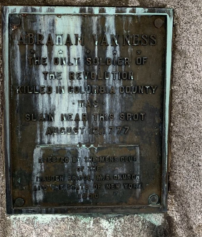
Abraham Van Ness
The only soldier of the Revolution killed in Colombia County was slain near this spot August 12, 1777.
Erected 1930 by State of New York, Men’s Club of Malden Bridge, M. E. Church.
Topics. This historical marker is listed in this topic list: War, US Revolutionary. A significant historical date for this entry is August 12, 1777.
Location. 42° 27.791′ N, 73° 35.495′ W. Marker is near Malden Bridge, New York, in Columbia County. Marker is on New York State Route 66, half a mile south of County Route 32, on the left when traveling north. Marker is just north of the bridge for NY 66 over I-90. Touch for map. Marker is at or near this postal address: 4500 NY 66, Malden Bridge NY 12115, United States of America. Touch for directions.
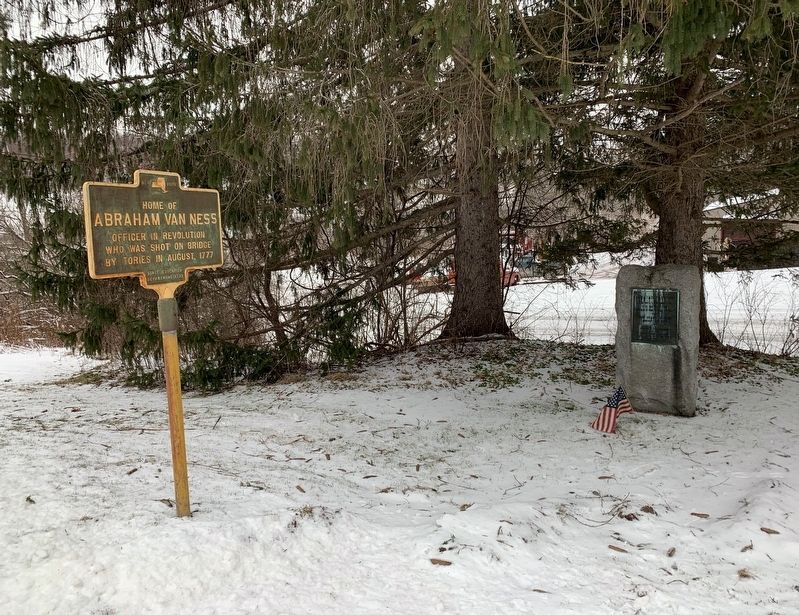
Other nearby markers. At least 8 other markers are within 3 miles of this marker, measured as the crow flies. A different marker also named Abraham Van Ness (here, next to this marker); Riders Mills Schoolhouse (approx. 1.7 miles away); Old Chatham (approx. 2.1 miles away); Columbia Institute (approx. 2.1 miles away); North Chatham Depot (approx. 2.3 miles away); Founded 1782 (approx. 2.6 miles away); The Valatie Kill (approx. 2.7 miles away); Electric Park (approx. 3 miles away). Touch for a list and map of all markers in Malden Bridge.
Credits. This page was last revised on February 10, 2020. It was originally submitted on February 9, 2020, by Steve Stoessel of Niskayuna, New York. This page has been viewed 255 times since then and 28 times this year. Photos: 1, 2. submitted on February 9, 2020, by Steve Stoessel of Niskayuna, New York. • Michael Herrick was the editor who published this page.

