Olive Hill in Carter County, Kentucky — The American South (East South Central)
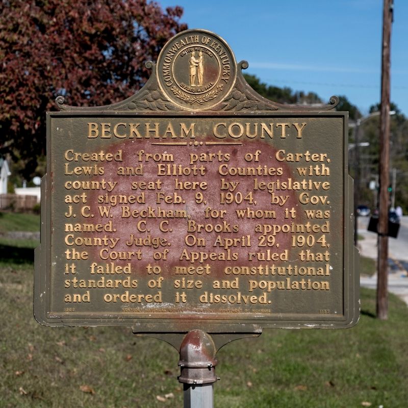
Beckham County
Erected 1968 by Kentucky Historical Society and Kentucky Department of Highways. (Marker Number 1177.)
Topics and series. This historical marker is listed in this topic list: Political Subdivisions. In addition, it is included in the Kentucky Historical Society series list. A significant historical date for this entry is April 29, 1904.
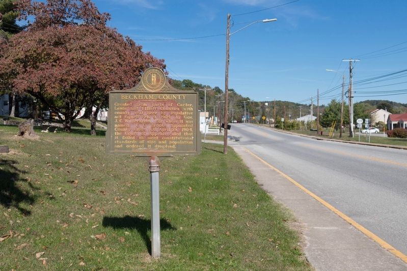
Location. 38° 17.762′ N, 83° 10.875′ W. Marker is in Olive Hill, Kentucky, in Carter County. Marker is at the intersection of W Tom T. Hall Boulevard (U.S. 60) and Kentucky Route 2078, on the right when traveling west on W Tom T. Hall Boulevard. Touch for map. Marker is at or near this postal address: 569 State Hwy 2078, Olive Hill KY 41164, United States of America. Touch for directions.
Other nearby markers. At least 8 other markers are within 7 miles of this marker, measured as the crow flies. Tom T. Hall (approx. 0.6 miles away); Historical Mural by Northeast WIA Youth (approx. 0.6 miles away); Carter County 20th Century War Memorial (approx. 0.7 miles away); Home of Gov. Fields (approx. 2.1 miles away); Aviation Pioneer / Matthew B. Sellers (approx. 3.7 miles away); Saltpeter Cave (approx. 6.4 miles away); The Caves Of Carter County (approx. 6˝ miles away); Seasonal Tours (approx. 6˝ miles away). Touch for a list and map of all markers in Olive Hill.
Also see . . . Wikipedia entry.
The legislature first proposed to name the county Hardscrabble County. The proposal then became to name it Goebel County in honor of the late assassinated governor William Goebel. Beckham County was ultimately named for then-governor J. C. W. Beckham.(Submitted on February 10, 2020.)
A man named C. V. Zimmerman filed suit against Beckham County—specifically against its county judge, Captain C. C. Brooks—when Beckham County tried to collect a $75.00 debt from Zimmerman. Zimmerman claimed that under an 1891 Kentucky Constitutional amendment, creation of Beckham County was unlawful because it left other counties with less than 400 square miles (1,000 km˛) of land, and that Beckham County itself also had less than 400 square miles (1,000 km˛) of land. Carter County joined Zimmerman’s suit and added the claim that the creation of Beckham County ran its borders too close to the county seats of Carter and Lewis counties, violating the 10-mile (16 km) minimum. Carter County also claimed that the illegal creation of Beckham County would unfairly deprive Carter County of tax revenues that rightfully belonged to Carter County. Beckham County was dissolved by the Kentucky Court of Appeals on April 29, 1904 because it was not created in conformance with state law.
Marriage and postal records from the brief existence of Beckham County, Kentucky still exist. The county records are kept in the Carter County courthouse.
Credits. This page was last revised on February 10, 2020. It was originally submitted on February 10, 2020, by J. J. Prats of Powell, Ohio. This page has been viewed 166 times since then and 10 times this year. Photos: 1, 2. submitted on February 10, 2020, by J. J. Prats of Powell, Ohio.

