Hitchins in Carter County, Kentucky — The American South (East South Central)
Eastern Kentucky Railway
Hitchins
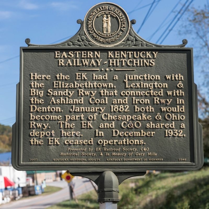
Photographed by J. J. Prats, October 18, 2019
1. Eastern Kentucky Railway Marker
Erected 2007 by Kentucky Historical Society and Kentucky Department of Highways. Presented by EK Railroad Society, C&O Historical Society & in memory of Gary Mills. (Marker Number 2246.)
Topics and series. This historical marker is listed in this topic list: Railroads & Streetcars. In addition, it is included in the Kentucky Historical Society series list. A significant historical month for this entry is January 1882.
Location. 38° 16.895′ N, 82° 55.324′ W. Marker is in Hitchins, Kentucky, in Carter County. It is on Route 773 0.1 miles west of Hitchens Rd (Kentucky Route 1), on the left when traveling west. Touch for map. Marker is in this post office area: Hitchins KY 41146, United States of America. Touch for directions.

Regionally, this marker is in the Kyova Tri-State Region and in the Cumberland Plateau. It is also in the
this page online
Other nearby markers. At least 8 other markers are within 6 miles of this marker, measured as the crow flies: Mount Savage Furnace (approx. 3.3 miles away); A Masterful Retreat (approx. 3.6 miles away); a different marker also named Eastern Kentucky Railway (approx. 3.8 miles away); County Named, 1838 (approx. 3.9 miles away); We Honor William Jason Fields (approx. 3.9 miles away); Civil War Reunion (approx. 4.2 miles away); a different marker also named Eastern Kentucky Railway (approx. 5.2 miles away); Pactolus Furnace / Iron Made in Kentucky (approx. 5.8 miles away).
Other markers no longer nearby. A Masterful Retreat (was approx. 3.6 miles away but has been confirmed missing); World War I Memorial (was approx. 3.9 miles away but has been confirmed missing).
Related markers. Click here for
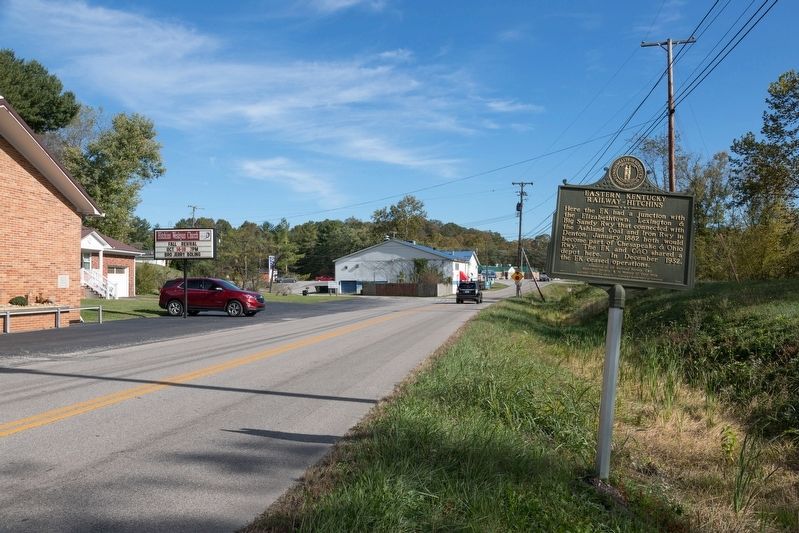
Photographed by J. J. Prats, October 18, 2019
2. Eastern Kentucky Railway Marker
Also see . . . East Kentucky Southern Railway. While the Eastern Kentucky Railway proper ceased operations in 1926, this portion of the line, between Grayson and Webbville, continued under a new name. Excerpt:
In 1928 the United States was on a collision course with the Great Depression and it was in that same year that the citizens of Grayson, Vincent, Hitchins, Reedville, Butler, Willard, Bellstrace, and Webbville purchased the Grayson-Webbville segment from the owners of the Eastern Kentucky Railway. The name of their new company was the “East Kentucky Southern Railway Company.” ...(Submitted on February 12, 2020.)
The tracks had not been maintained for a decade or so between Grayson and Webbville. It was much too dangerous to run a heavy locomotive. To answer this problem, the men of the Grayson shops came up with a solution, a gasoline powered car fitted for track use. ...
The new company made a determined effort to win the approval of the public and to make a profit. A new automobile powered vehicle, No. 215, popularly called “Queen” was introduced to the segment. Queen looked very much like a school bus on tracks.
Credits. This page was last revised on February 16, 2020. It was originally submitted on February 12, 2020, by J. J. Prats of Powell, Ohio. This page has been viewed 607 times since then and 51 times this year. Photos: 1, 2. submitted on February 12, 2020, by J. J. Prats of Powell, Ohio.
