The Beaches in Jacksonville Beach in Duval County, Florida — The American South (South Atlantic)
Coastal Weather
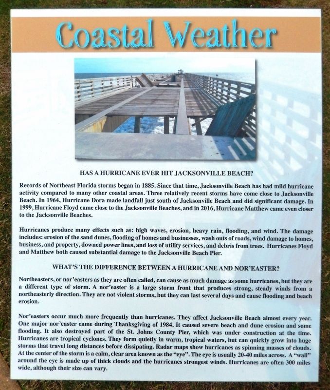
Has a hurricane ever hit Jacksonville Beach?
Records of Northeast Florida storms began in 1885. Since that time, Jacksonville Beach has had mild hurricane activity compared to many other coastal areas. Three relatively recent storms have come close to Jacksonville Beach. In 1964, Hurricane Dora made landfall just south of Jacksonville Beach and did significant damage. In 1999, Hurricane Floyd came close to the Jacksonville Beaches, and in 2016, Hurricane Matthew came even closer to the Jacksonville Beaches.
Hurricanes produce many effects such as: high waves, erosion, heavy rain, flooding, and wind. The damage includes: erosion of the sand dunes, flooding of homes and businesses, wash outs of roads, wind damage to homes, business, and property, downed power lines, and loss of utility services, and debris from trees. Hurricanes Floyd and Matthew both caused substantial damage to the Jacksonville Beach Pier.
What’s the difference between a hurricane and nor’easter?
Northeasters, or nor'easters as they are often called, can cause as much damage as some hurricanes, but they are a different type of storm. A nor'easter is a large storm front that produces strong, steady winds from a northeasterly direction. They are not violent storms, but they can last several days and cause flooding and beach erosion.
Nor'easters occur much more frequently than hurricanes. They affect Jacksonville Beach almost every ear. One major nor'easter came during Thanksgiving of 1984. It caused severe beach and dune erosion and some flooding. It also destroyed part of the St. Johns County Pier, which was under construction at the time. Hurricanes are tropical cyclones. They form quietly in warm, tropical waters, but can quickly grow into huge storms that travel long distances before dissipating. Radar maps show hurricanes as spinning masses of clouds. At the center of the storm is a calm, clear area known as the "eye". The eye is usually 20-40 miles across. A "wall" around the eye is made up of thick clouds and the hurricanes strongest winds. Hurricanes are often 300 miles wide, although their size can vary.
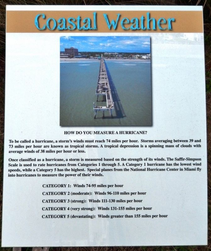
How do you measure a hurricane?
To be called a hurricane, a storm's winds must reach 74 miles per hour. Storms averaging between 39 and 73 miles per hour are known as tropical storms. A tropical depression is a spinning mass of clouds with average winds of 38 miles per hour or less.
Once classified as a hurricane, a storm is measured based on the strength of its winds. The Saffir-Simpson Scale is used to rate hurricanes from Categories 1 through 5. A Category 1 hurricane has the lowest wind speeds, while a Category 5 has the highest. Special planes from the National Hurricane Center in Miami fly into hurricanes to measure the power of their winds.
CATEGORY 1: Winds 74-95 miles per hour
CATEGORY 2 (moderate): Winds 96-110 miles per hour
CATEGORY 3 (strong): Winds 111-130 miles per hour
CATEGORY 4 (very strong): Winds 131-155 miles per hour
CATEGORY 5 (devastating): Winds greater than 155 miles per hour
Topics. This historical marker is listed in this topic list: Disasters.
Location. 30° 17.018′ N, 81° 23.297′ W. Marker is in Jacksonville Beach, Florida, in Duval County. It is in The Beaches. Marker can be reached from 1st Street South (Ocean Front Street) just south of 5th Avenue South, on the right when traveling north. Marker is located along the walkway in Oceanfront Park. Touch for map. Marker is at or near this postal address: 429 1st Street South, Jacksonville Beach FL 32250, United States of America. Touch for directions.
Other nearby markers. At least 8 other markers are within walking distance of this marker. World War II Veterans Memorial (within shouting distance of this marker); SS Gulfamerica (within shouting distance of this marker); American Red Cross Volunteer Life Saving Corps and Station (approx. 0.4 miles away); Beaches Museum Chapel (approx. 0.4 miles away); Mayport Depot (approx. 0.4 miles away); First Settlers At Ruby, Florida (approx. 0.4 miles away); Pablo Beach Post Office (approx. half a mile away); Steam Locomotive No.7 (approx. half a mile away). Touch for a list and map of all markers in Jacksonville Beach.
Also see . . . Remembering Hurricane Dora. Jacksonville Historical Society website entry:
In weather bureau recorded history, Dora was the city’s first direct hit. Even before Hurricane Dora’s eye moved ashore in Northeast Florida just after midnight on September 10, 1964, much of the new Jacksonville Beach Pier was destroyed by winds. While Dora caused no deaths in Jacksonville, buildings throughout North Florida were severely damaged or lost. At the beaches, bulkheads were destroyed and 43 homes were lost in the Jacksonville beaches area—20 swept to sea. (Submitted on February 13, 2020, by Cosmos Mariner of Cape Canaveral, Florida.)
Credits. This page was last revised on February 3, 2023. It was originally submitted on February 13, 2020, by Cosmos Mariner of Cape Canaveral, Florida. This page has been viewed 194 times since then and 14 times this year. Photos: 1, 2, 3, 4. submitted on February 13, 2020, by Cosmos Mariner of Cape Canaveral, Florida.


