Near Worden in Yellowstone County, Montana — The American West (Mountains)
Pompey's Pillar
Inscription.
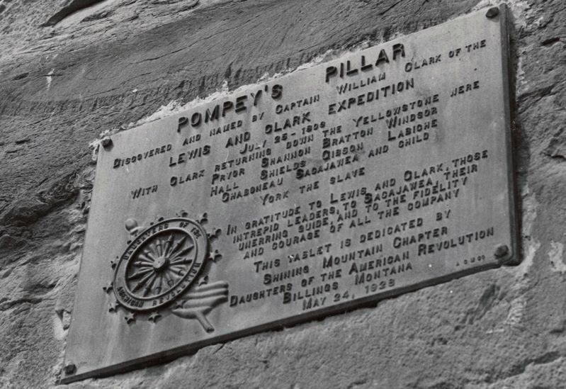
Pompey's Pillar
Discovered and named by Captain William Clark of the Lewis and Clark Expedition July 25, 1806.
With Clark returning down the Yellowstone were: Pryor, Shannon, Bratton, Windsor, Hall, Shields, Gibson, Labiche, Chaboneau, Sacajawea and child, York the slave.
In gratitude to Lewis and Clark, the intrepid leaders, to Sacajawea, their unerring guide, and to the fidelity and courage of all the company.
This tablet is dedicated by Shining Mountain Chapter Daughters of the American Revolution Billings, Montana May 24, 1928
Erected 1928 by Daughters of the American Revolution, Shining Mountain Chapter.
Topics and series. This historical marker is listed in these topic lists: Exploration • Fraternal or Sororal Organizations. In addition, it is included in the Daughters of the American Revolution, and the Lewis & Clark Expedition series lists. A significant day of the year for for this entry is May 31.
Location. 45° 59.726′ N, 108° 0.281′ W. Marker is near Worden, Montana, in Yellowstone County. Marker can be reached from Pompey's Pillar Access Road north of State Highway 312, on the left when traveling east. Touch for map. Marker is in this post office area: Worden MT 59088, United States of America. Touch for directions.
Other nearby markers. At least 8 other markers are within walking distance of this marker. The Changing Faces of Pompeys Pillar (within shouting distance of this marker); The Pompeys Pillar Legacy (within shouting distance of this marker); A Crossroads of Events (within shouting distance of this marker); Three Forks: Clark's Party Splits (about 400 feet away, measured in a direct line); Yellowstone River: A Water Expressway (about 400 feet away); Transportation: Traveling Downstream (about 400 feet away); Transportation: Hoofing It (about 400 feet away); Injury Forces a Halt to Build Canoes (about 500 feet away). Touch for a list and map of all markers in Worden.
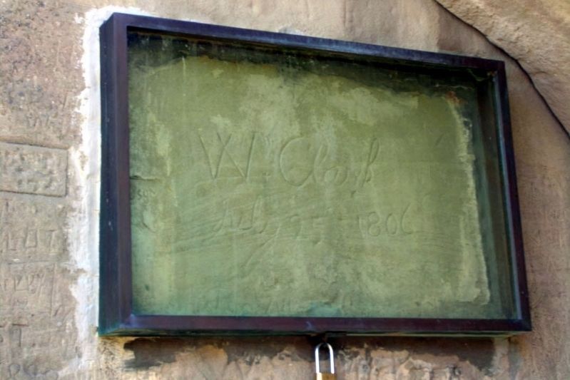
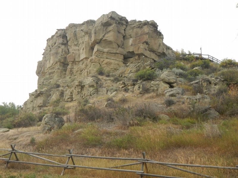
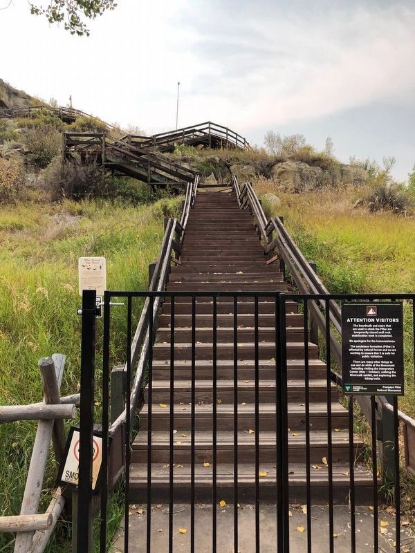
Regarding Pompey's Pillar. First named by Captain William Clark as "Pompey's Tower," Pompey's Pillar is a huge sandstone formation rising 150 feet above the Yellowstone River. The pillar is a sandstone history book showing the remains of animal drawings created by people who used the area for rendezvous and campsites over 11,000 years. Clark named it for Sacajawea's child Jean Baptiste Charbonneau or Pomp. Captain Clark carved his signature into the face of the rock.
Credits. This page was last revised on January 29, 2021. It was originally submitted on February 21, 2020, by Cheryl Genovese of Bozeman, Montana. This page has been viewed 280 times since then and 25 times this year. Photos: 1. submitted on May 5, 2020, by J. Makali Bruton of Accra, Ghana. 2. submitted on December 26, 2012, by Duane Hall of Abilene, Texas. 3, 4. submitted on January 27, 2021, by Barry Swackhamer of Brentwood, California. • J. Makali Bruton was the editor who published this page.
Editor’s want-list for this marker. A wide view photo of the marker and the surrounding area together in context. • Additional photos of the inscriptions on Pompey's Pillar. • Additional views of Pompey's Pillar. • Can you help?


