Paintsville in Johnson County, Kentucky — The American South (East South Central)
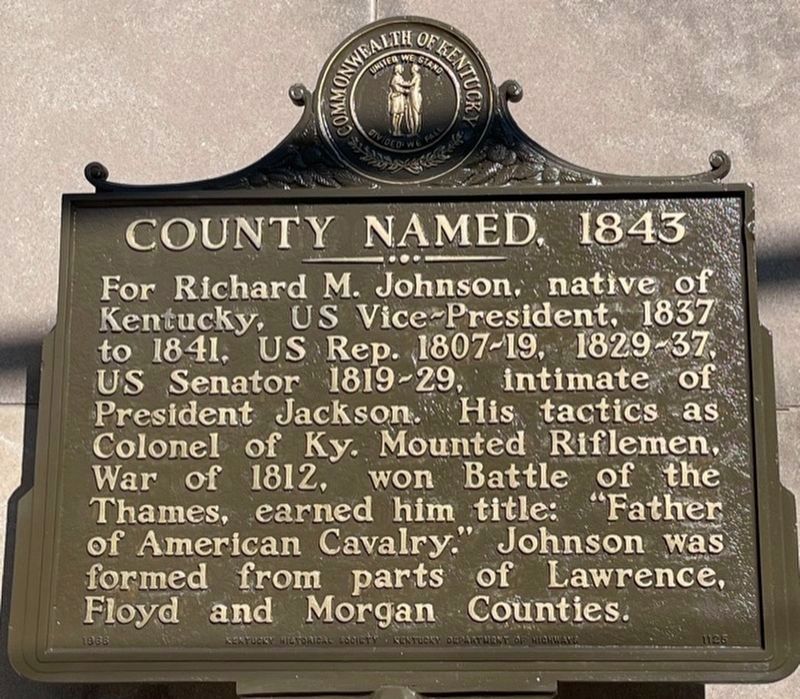
County Named, 1843
Erected 1968 by Kentucky Historical Society and Kentucky Department of Highways. (Marker Number 1125.)
Topics and series. This historical marker is listed in these topic lists: Military • Political Subdivisions • War of 1812. In addition, it is included in the Former U.S. Presidents: #08 Martin Van Buren, and the Kentucky Historical Society series lists. A significant historical year for this entry is 1843.
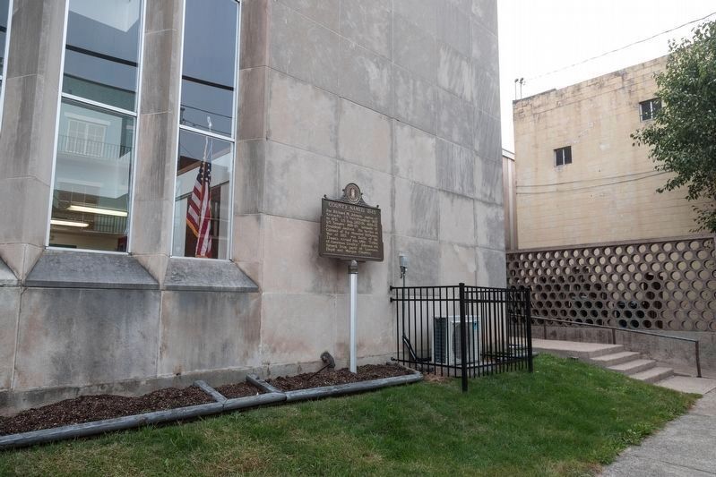
Location. 37° 48.853′ N, 82° 48.416′ W. Marker is in Paintsville, Kentucky, in Johnson County. Marker is on Court Street south of 2nd Street, on the left when traveling south. It is at the courthouse. Touch for map. Marker is at or near this postal address: 230 Court St, Paintsville KY 41240, United States of America. Touch for directions.
Other nearby markers. At least 8 other markers are within 10 miles of this marker, measured as the crow flies. War on the Big Sandy (within shouting distance of this marker); Paintsville (approx. ¼ mile away); The Walker Expedition (approx. 0.8 miles away); Morgan’s Last Raid (approx. one mile away); Jenny (Jennie) Wiley (approx. 5 miles away); Harman Station (approx. 5 miles away); Samuel May / Samuel May House (approx. 9.2 miles away); The May Farm (approx. 9.2 miles away). Touch for a list and map of all markers in Paintsville.
Also see . . . Wikipedia entry for Battle of the Thames. “The Battle of the Thames, also known as the Battle of Moraviantown, was a decisive American victory in the War of 1812 against Great Britain and its Indian allies in Tecumseh’s Confederacy. It took place on October 5, 1813, in Upper Canada, near Chatham. The British lost control of Southwestern Ontario as a result of the battle.” (Submitted on February 24, 2020.)
Credits. This page was last revised on March 29, 2021. It was originally submitted on February 24, 2020, by J. J. Prats of Powell, Ohio. This page has been viewed 158 times since then and 15 times this year. Photos: 1. submitted on March 28, 2021, by Frank Profitt of Georgetown, Kentucky. 2. submitted on February 24, 2020, by J. J. Prats of Powell, Ohio.

