Harkers Island in Carteret County, North Carolina — The American South (South Atlantic)
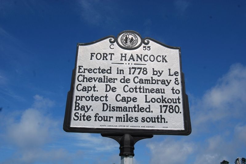
Fort Hancock
Erected 2006 by North Carolina Office of Archives and History. (Marker Number C-55.)
Topics and series. This historical marker is listed in this topic list: Forts and Castles. In addition, it is included in the North Carolina Division of Archives and History series list. A significant historical year for this entry is 1778.
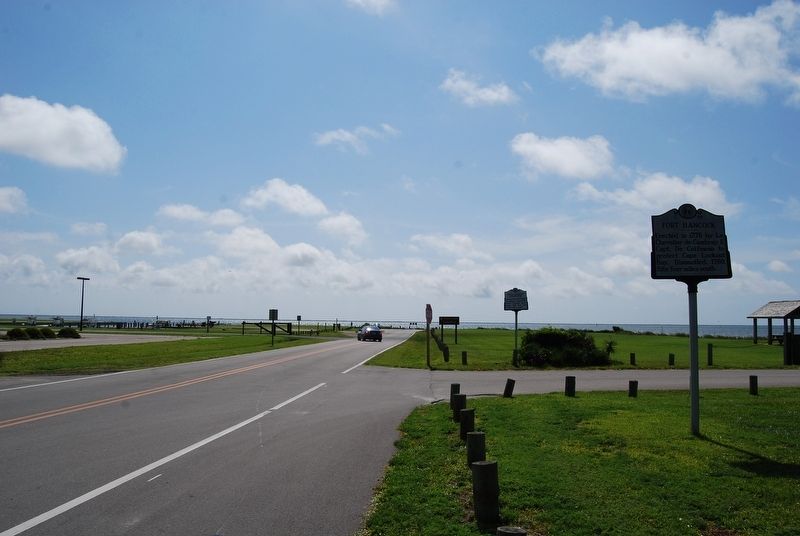
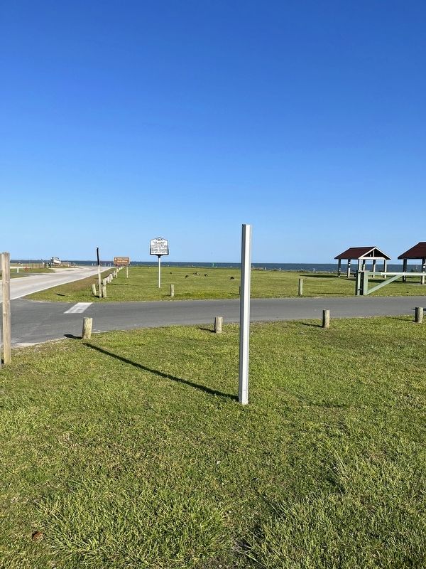
Location. 34° 41.097′ N, 76° 31.661′ W. Marker is on Harkers Island, North Carolina, in Carteret County. Marker is on Island Road east of Cape Point Drive, on the right when traveling east. Touch for map. Marker is in this post office area: Harkers Island NC 28531, United States of America. Touch for directions.
Other nearby markers. At least 8 other markers are within 2 miles of this marker, measured as the crow flies. Harkers Island Visitor Center at Cape Lookout National Seashore (about 300 feet away, measured in a direct line); Olive Thurlow Anchor (about 500 feet away); Protecting People and Ships (about 500 feet away); Estuaries of the Sound (about 600 feet away); Horizon of Islands (about 600 feet away); Cisterns (approx. 0.2 miles away); Rain Gardens (approx. 0.2 miles away); In Honor and Rememberance (approx. 1˝ miles away). Touch for a list and map of all markers in Harkers Island.
Credits. This page was last revised on June 15, 2023. It was originally submitted on March 2, 2020, by Mike Wintermantel of Pittsburgh, Pennsylvania. This page has been viewed 262 times since then and 52 times this year. Last updated on June 13, 2023, by Dave W of Co, Colorado. Photos: 1, 2. submitted on March 2, 2020, by Mike Wintermantel of Pittsburgh, Pennsylvania. 3. submitted on July 23, 2022, by J. Makali Bruton of Accra, Ghana. • Bernard Fisher was the editor who published this page.


