Near Shelbiana in Pike County, Kentucky — The American South (East South Central)
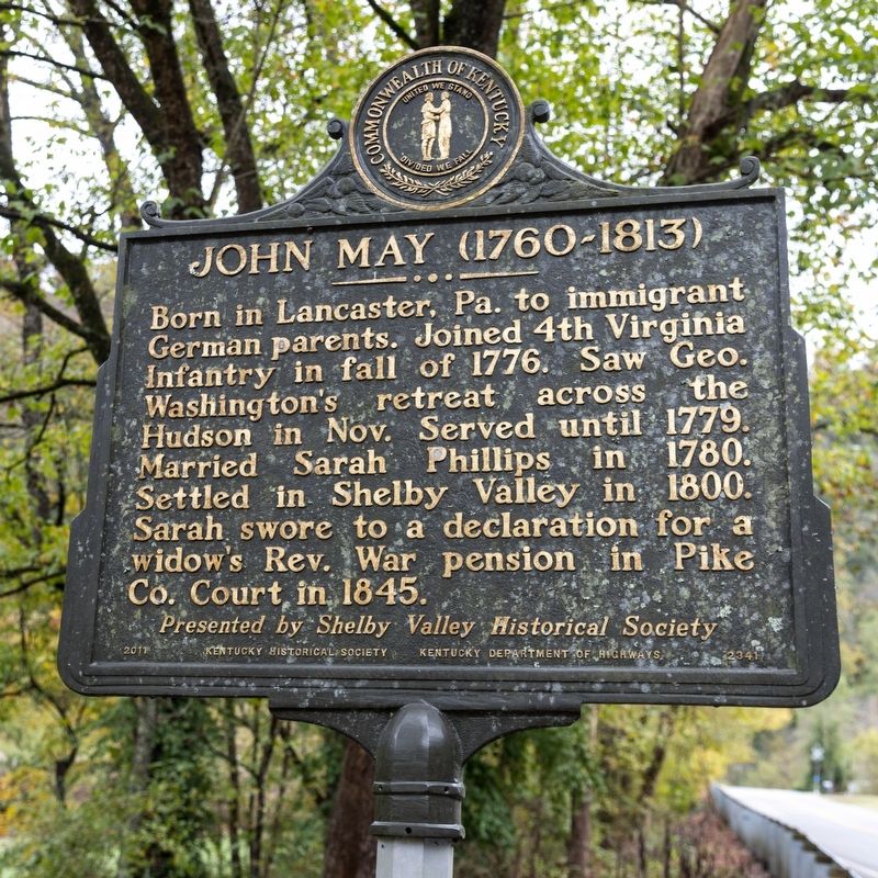
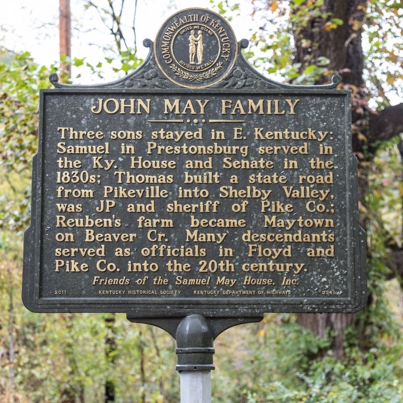
John May / John May Family
1760-1813 /
Three sons stayed in eastern Kentucky: Samuel in Prestonburg served in the Kentucky House and Senate in the 1830s; Thomas built a state road from Pikeville into Shelby Valley, was Justice of the Peace and sheriff of Pike county; Reuben’s farm became Maytown on Beaver Creek. Many descendants served as officials in Floyd and Pike Counties into the 20th century.
Erected 2011 by Kentucky Historical Society and Kentucky Department of Highways, and Friends of Samuel May House, Inc. (Marker Number 2341.)
Topics and series. This historical marker is listed in these topic lists: Government & Politics • Settlements & Settlers. In addition, it is included in the Kentucky Historical Society series list. A significant historical year for this entry is 1776.
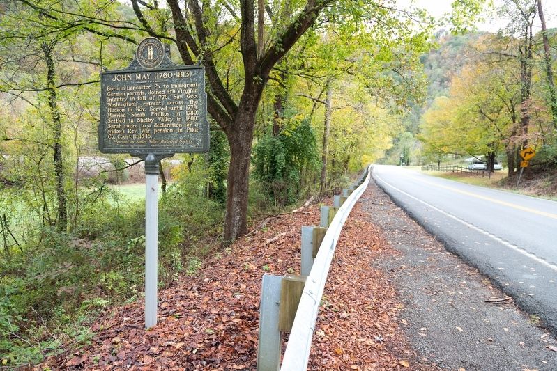
Location. 37° 24.562′ N, 82° 30.438′ W. Marker is near Shelbiana, Kentucky, in Pike County. Marker is on Collins Highway (Kentucky Route 122) 2.1 miles south of U.S. 460, on the left when traveling south. Collins Highway was U.S. 23 before the parallel limited-access highway was built. Touch for map. Marker is in this post office area: Pikeville KY 41501, United States of America. Touch for directions.
Other nearby markers. At least 8 other markers are within 5 miles of this marker, measured as the crow flies. Liberty First Co. Seat (approx. 2.4 miles away); Pikeville Collegiate Institute (approx. 4.7 miles away); Pikeville Cut-Through (approx. 4.7 miles away); Hatfield-McCoy Feud / McCoy Graves Here (approx. 4.7 miles away); James A. Garfield (approx. 4.7 miles away); Garfield at Piketon (approx. 4.7 miles away); Educator, Soldier, Congressman, President (approx. 4.8 miles away); Dils Cemetery (approx. 4.8 miles away).
Credits. This page was last revised on March 7, 2020. It was originally submitted on March 7, 2020, by J. J. Prats of Powell, Ohio. This page has been viewed 536 times since then and 89 times this year. Photos: 1, 2, 3. submitted on March 7, 2020, by J. J. Prats of Powell, Ohio.


