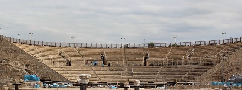
Caesarea / קיסריה
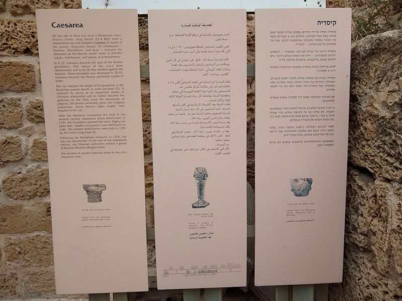
In 6 CE Caesarea became the seat of the Roman governors. The status of the city’s Jews deteriorated, and in 66 CE they rebelled against the Romans. When Jerusalem was destroyed in 70 CE, Caesarea became the Roman provincial capital of Judea.
The city reached in height of prosperity in the Byzantine period (fourth to sixth centuries CE). It retained its status as an important center of Christian scholarship and its harbor became the gateway to the Holy Land for thousands of pilgrims. The Jewish community grew, and religious academies, where famous sages taught, were founded in the city.
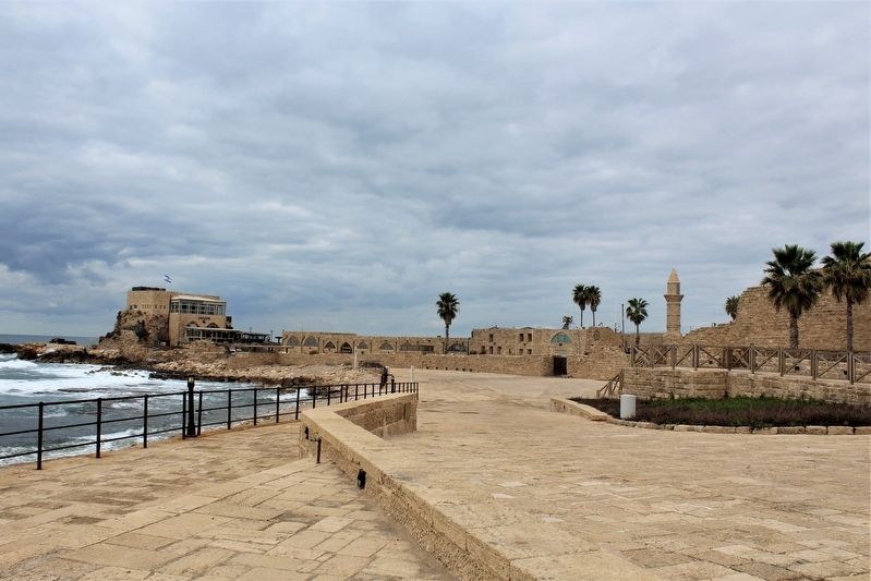
After the Moslems conquered the lad in the seventh century, Caesarea’s status diminished. In 1101, the Crusaders captured the town. Eighty-six years later, Saladin conquered it and destroyed its walls. The present fortifications were built in 1251 by the French king Louis IX.
Following the Mameluke conquest in 1265, the city was abandoned. At the end of the nineteenth century, the Ottoman authorities
settled a group of Bosnian Moslem refugees there.The remains of ancient Caesarea attest to the city’s illustrious past.
(Arabic and Hebrew not transcribed)
Topics. This historical marker is listed in this topic list: Notable Places.
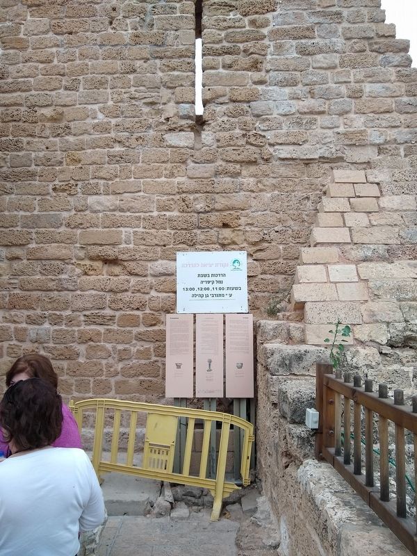
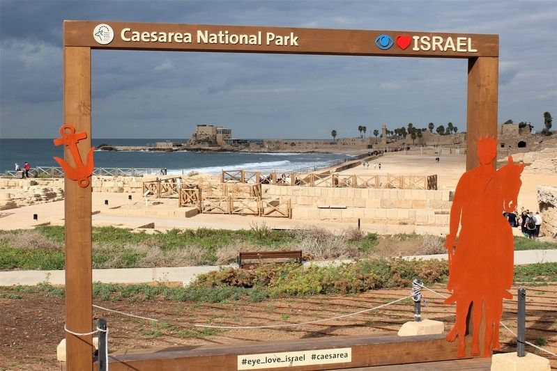
Location. 32° 30.118′ N, 34° 53.542′ E. Marker is in Sdot Yam, Haifa District. Marker can be reached from Israeli National Trail, on the left when traveling north. Marker is located within the Caesarea National Park. Touch for map. Touch for directions.
Other nearby markers. At least 8 other markers are within walking distance of this marker. The Caesarea Nymphaeum (within shouting distance of this marker); Caesarea in the Middle Ages / Crusader Fortifications (within shouting distance of this marker); Caesarea: City, Harbor (within shouting distance of this marker); Corinthian Capitals (within shouting distance of this marker); Fragments of an Inscribed Coenice (within shouting distance of this marker); The Heart of Caesarea (within shouting distance of this marker); Inscribed Stones / Sarcophagi (within shouting distance of this marker); Sarcophagus adorned with Rosettes (about 120 meters away, measured in a direct line). Touch for a list and map of all markers in Sdot Yam.
Credits. This page was last revised on March 9, 2020. It was originally submitted on March 7, 2020, by Tom Bosse of Jefferson City, Tennessee. This page has been viewed 159 times since then and 14 times this year. Photos: 1, 2, 3, 4, 5, 6. submitted on March 7, 2020, by Tom Bosse of Jefferson City, Tennessee. • Andrew Ruppenstein was the editor who published this page.
