Near Phelps in Ontario County, New York — The American Northeast (Mid-Atlantic)
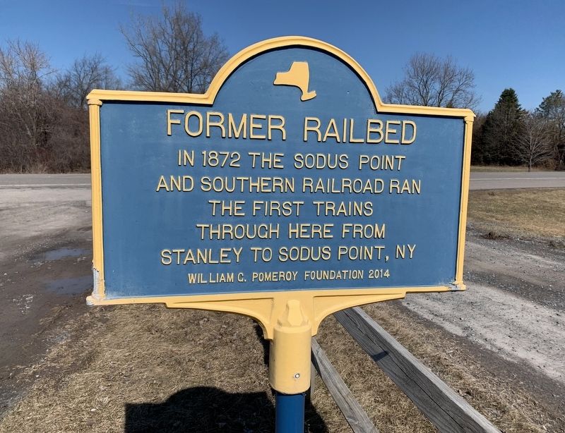
Former Railbed
Erected 2014 by William G. Pomeroy Foundation.
Topics and series. This historical marker is listed in this topic list: Railroads & Streetcars. In addition, it is included in the William G. Pomeroy Foundation series list. A significant historical year for this entry is 1872.
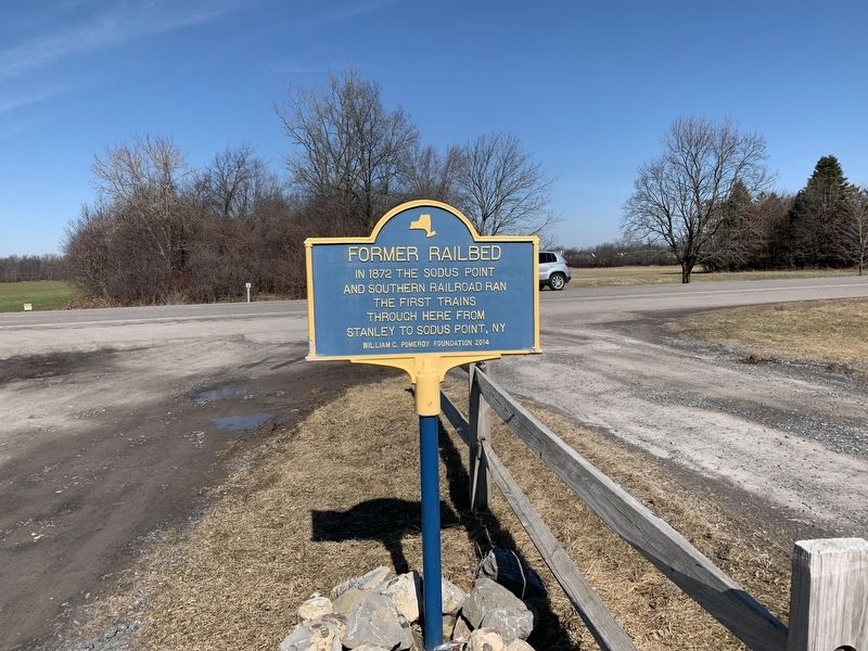
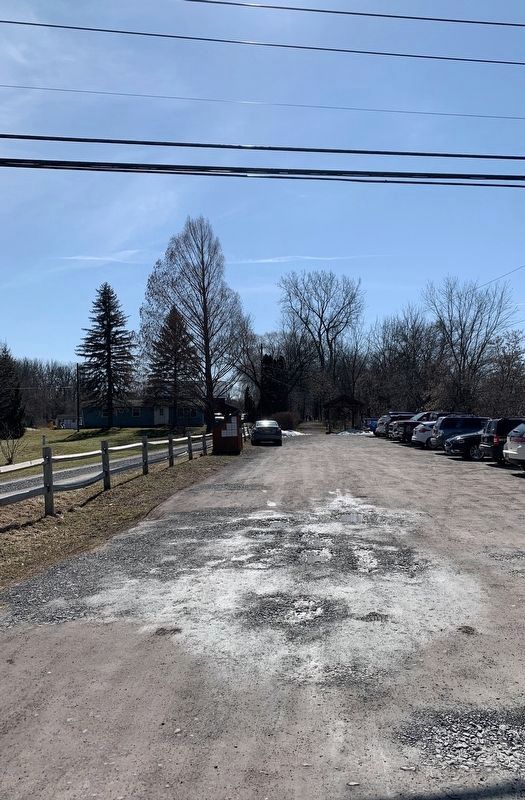
Location. 42° 57.707′ N, 77° 5.469′ W. Marker is near Phelps, New York, in Ontario County. Marker is on Route 96, 0.2 miles east of New York State Route 488, on the right when traveling east. Touch for map. Marker is at or near this postal address: 2013 NY 96, Phelps NY 14532, United States of America. Touch for directions.
Other nearby markers. At least 8 other markers are within 3 miles of this marker, measured as the crow flies. Phelps Methodist Episcopal Church (approx. 1.4 miles away); Pioneer Cemetery (approx. 1.4 miles away); Old Stone Shop (approx. 1.6 miles away); Phelps World War Memorial (approx. 1.6 miles away); In Memory (approx. 1.6 miles away); Phelps Historic District (approx. 1.8 miles away); Peirce Pavillion 2 (approx. 2.2 miles away); Unionville (approx. 2.9 miles away). Touch for a list and map of all markers in Phelps.
Also see . . . Sodus Point & Southern RR. Line carried coal to Lake Ontario between 1852-1875 (Submitted on March 9, 2020, by Steve Stoessel of Niskayuna, New York.)
Credits. This page was last revised on March 10, 2020. It was originally submitted on March 9, 2020, by Steve Stoessel of Niskayuna, New York. This page has been viewed 158 times since then and 18 times this year. Photos: 1, 2, 3. submitted on March 9, 2020, by Steve Stoessel of Niskayuna, New York. • Michael Herrick was the editor who published this page.


