Bainbridge in Chenango County, New York — The American Northeast (Mid-Atlantic)
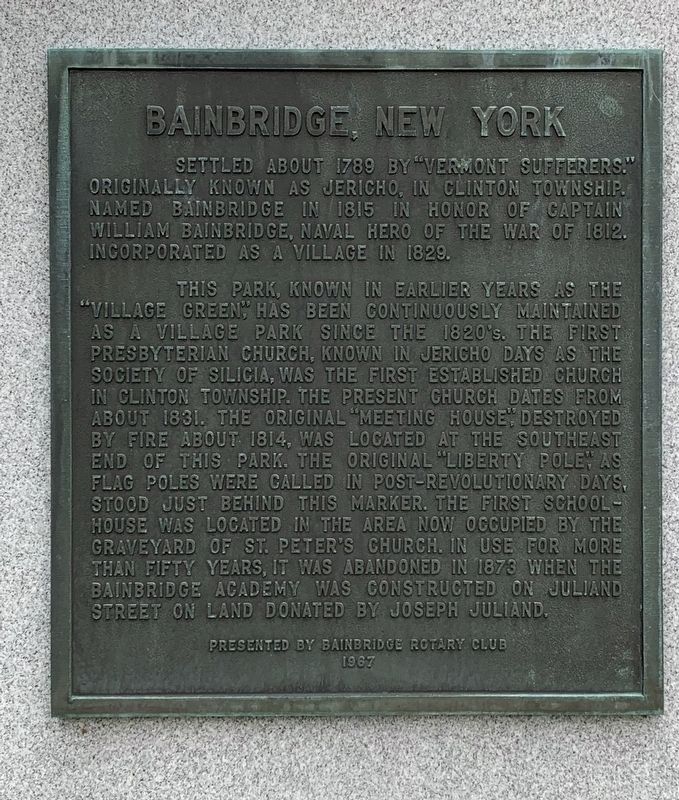
Bainbridge, New York
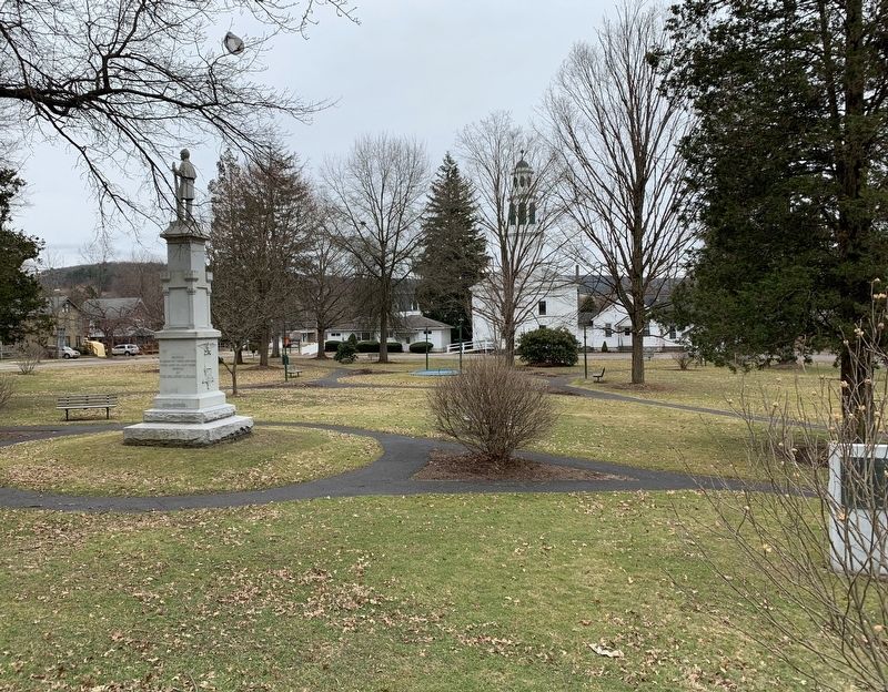
This park, known in earlier years as the "village green” has been continuously maintained as a village park since the 1820's. The first Presbyterian church, known in Jericho days as the Society of Silicia, was the first established church in Clinton Township. The present church dates from about 1831. The original "meeting house", destroyed by fire about 1814, was located at the southeast end of this park. The original "Liberty Pole" as flag poles were called in post-revolutionary days, stood just behind this marker. the first schoolhouse was located in the area now ogcupied by the graveyard of St. Peter’s Church. In use for more than fifty years, it was abandoned in 1873 when the Bainbridge Academy was constructed on Juliand Street on land donated by Joseph Juliand.
Erected 1967 by Bainbridge Rotary Club.
Topics and series. This historical marker is listed in this topic list: Settlements & Settlers. In addition, it is included in the Rotary International series list. A significant historical year for this entry is 1789.
Location. 42° 17.587′ N, 75° 28.782′ W. Marker is in Bainbridge, New York, in Chenango County. Marker is at the intersection of East Main Street (New York State Route 206) and South Main Street (New York State Route 7), on the right when traveling east on East Main Street. Touch for map. Marker is in this post office area: Bainbridge NY 13733, United States of America. Touch for directions.
Other nearby markers. At least 8 other markers are within 4 miles of this marker, measured as the crow flies. Bainbridge New York Civil War Memorial (a few steps from this marker); Bainbridge New York 20th Century Wars Memorial (within shouting distance of this marker); First Presbyterian Church (within shouting distance of this marker); First Toll Gate (approx. 2.4 miles away); Routes of the Armies of General John Sullivan and General James Clinton (approx. 3.4 miles away); Unadilla Region (approx. 3.6 miles away); Floyd Kenneth Butler (approx. 4 miles away); The Daniels Brothers (approx. 4 miles away). Touch for a list and map of all markers in Bainbridge.
Also see . . . William Bainbridge. Bainbridge was Captain of the USS Constitution and defeated the HMS Java in combat December 1812 (Submitted on March 14, 2020, by Steve Stoessel of Niskayuna, New York.)
Credits. This page was last revised on March 17, 2020. It was originally submitted on March 14, 2020, by Steve Stoessel of Niskayuna, New York. This page has been viewed 361 times since then and 43 times this year. Photos: 1, 2. submitted on March 14, 2020, by Steve Stoessel of Niskayuna, New York. • Michael Herrick was the editor who published this page.
Editor’s want-list for this marker. A wide angle photo of the marker and its surroundings. • Can you help?

