Lower Merion Township near Bala Cynwyd in Montgomery County, Pennsylvania — The American Northeast (Mid-Atlantic)
The "S" Bridge & The Manayunk Bridge
Cynwyd Heritage Trail

Photographed By Devry Becker Jones (CC0), March 14, 2020
1. The "S" Bridge & The Manayunk Bridge Marker
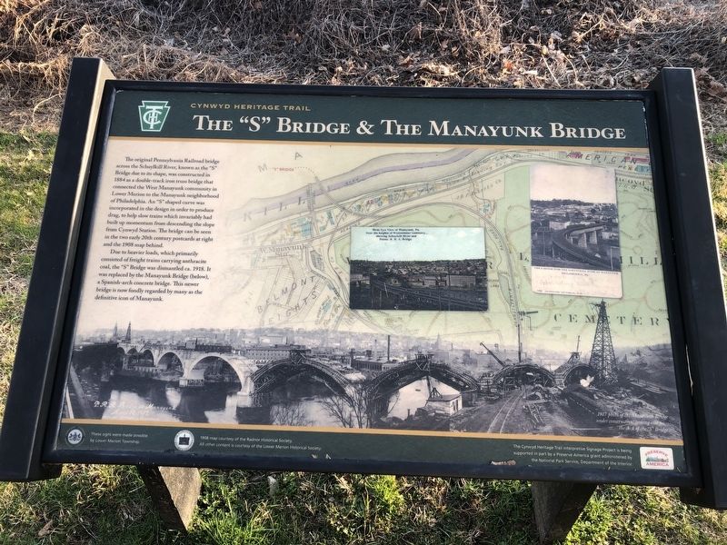
The original Pennsylvania Railroad bridge across the Schuylkill River, known as the "S" Bridge due to its shape, was constructed in 1884 as a double-track iron truss bridge that connected the West Manayunk community in Lower Merion to the Manayunk neighborhood of Philadelphia. An "S" shape curve was incorporated into the design in order to produce drag, to help slow trains which invariably had built up momentum from descending the slope from Cynwyd Station. The bridge can be seen in the two early 20th century postcards at right and the 1908 map behind.
Due to its heavier loads, which primarily consisted of freight trains carrying anthracite coal, the "S" Bridge was dismantled ca. 1918. It was replaced by the Manayunk Bridge (below), a Spanish-arch concrete bridge. This newer bridge is now fondly regarded by many as the definitive icon of Manayunk.
Erected by Lower Merion Township; Preserve America grant administered by the National Park Service, U.S. Department of the Interior.
Topics and series. This historical marker is listed in these topic lists: Architecture • Bridges & Viaducts • Railroads & Streetcars. In addition, it is included in the Pennsylvania Railroad (PRR) series list. A significant historical year for this entry is 1884.
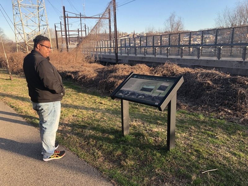
Location. 40° 1.383′ N, 75° 13.532′ W. Marker is near Bala Cynwyd, Pennsylvania, in Montgomery County. It is in Lower Merion Township. Marker is at the intersection of Cynwyd Heritage Trail and Manayunk Bridge Trail, on the right when traveling west on Cynwyd Heritage Trail. Touch for map. Marker is in this post office area: Bala Cynwyd PA 19004, United States of America. Touch for directions.
Other nearby markers. At least 8 other markers are within walking distance of this marker. The Spaventa Switchback (a few steps from this marker); Transportation Corridor in Transition (within shouting distance of this marker); The Manayunk Skyline (about 500 feet away, measured in a direct line); Venice Island (approx. 0.2 miles away); Lower Venice Island Paper Mills (approx. 0.2 miles away); Pencoyd Iron Works (approx. 0.2 miles away); Switchback Bridge (approx. 0.2 miles away); Sebastian A. Rudolph's Ashland Paper Mill (approx. 0.2 miles away). Touch for a list and map of all markers in Bala Cynwyd.

Photographed By Devry Becker Jones (CC0), March 14, 2020
2. The "S" Bridge & The Manayunk Bridge Marker
Credits. This page was last revised on February 7, 2023. It was originally submitted on March 14, 2020, by Devry Becker Jones of Washington, District of Columbia. This page has been viewed 219 times since then and 25 times this year. Photos: 1, 2. submitted on March 14, 2020, by Devry Becker Jones of Washington, District of Columbia.