Near Hillsboro in Fleming County, Kentucky — The American South (East South Central)
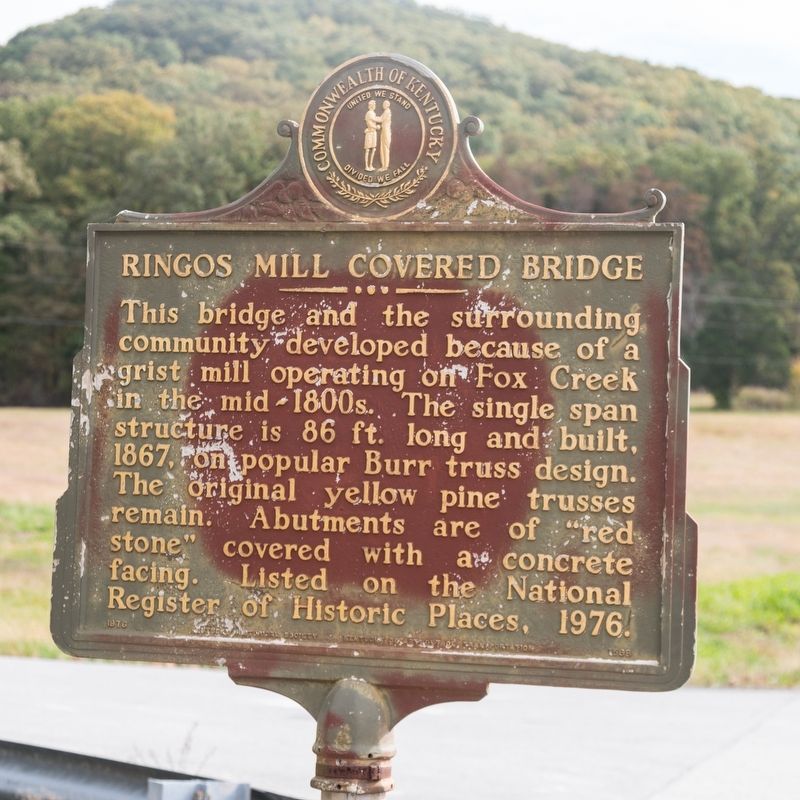
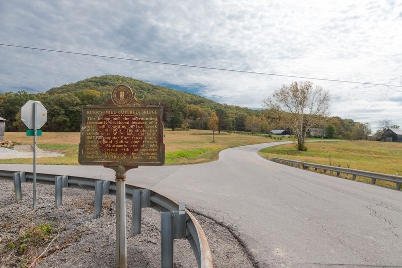
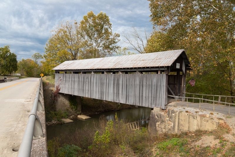
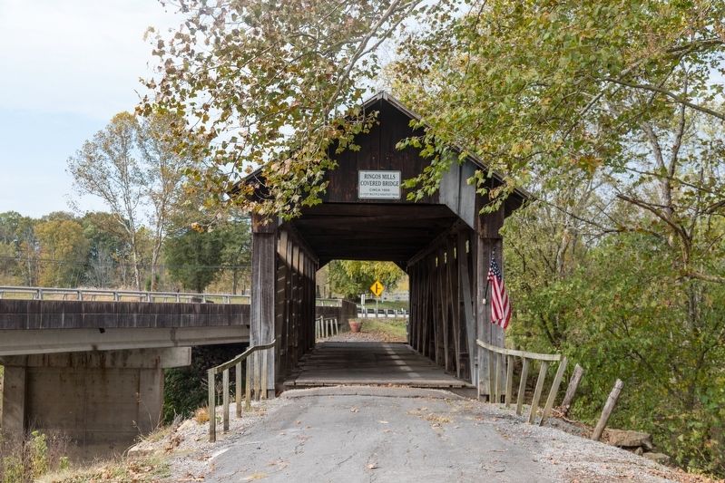
Ringos Mill Covered Bridge
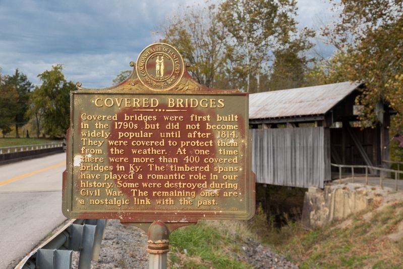
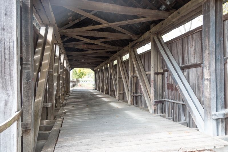
Covered bridges were first built in the 1790s but did not become widely popular until after 1814. They were covered to protect them from the weather. At one time there were more than 400 covered bridges in Kentucky. The timbered spans have played a romantic role in our history. Some were destroyed during Civil War. The remaining ones are a nostalgic link with the past.
Erected 1973 by Kentucky Historical Society and Kentucky Department of Highways Transportation. (Marker Number 1568.)
Topics and series. This historical marker is listed in this topic list: Bridges & Viaducts. In addition, it is included in the Covered Bridges, and the Kentucky Historical Society series lists. A significant historical year for this entry is 1867.
Location. 38° 16.102′ N, 83° 36.602′ W. Marker is near Hillsboro, Kentucky, in Fleming County. Marker is at the intersection of Ringos Mills Road (Kentucky Route 158) and Rawlings Road, on the left when traveling east on Ringos Mills Road. Touch for map. Marker is at or near this postal address: 3576 Ringos Mills Rd, Hillsboro KY 41049, United States of America. Touch for directions.
Other nearby markers. At least 8 other markers are within 11 miles of this marker, measured as the crow flies. Grange City Covered Bridge (approx. 2½ miles away); Stockton Grave (approx. 3.6 miles away); Goddard “White” Bridge (approx. 6½ miles away); Memorial Forest (approx. 8.4 miles away); Morgan Raiders' Camp (approx. 9.4 miles away); An Early Boom Town (approx. 9.4 miles away); Caney Furnace / Iron Made in Kentucky (approx. 9½ miles away); Unwind with Us (approx. 10.4 miles away).
Credits. This page was last revised on March 17, 2020. It was originally submitted on March 17, 2020, by J. J. Prats of Powell, Ohio. This page has been viewed 293 times since then and 35 times this year. Photos: 1, 2, 3, 4, 5, 6. submitted on March 17, 2020, by J. J. Prats of Powell, Ohio.
