Saginaw in Tarrant County, Texas — The American South (West South Central)
Saginaw School
Photographed by J Frye, March 18, 2020
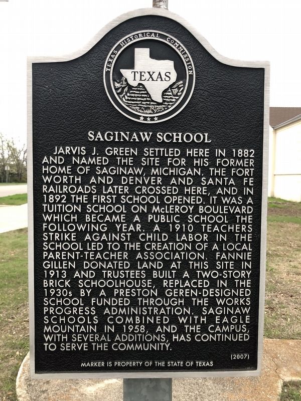
1. Saginaw School Marker
Jarvis J. Green settled here in 1882 and named the site for his former home of Saginaw, Michigan. The Fort Worth and Denver and Santa Fe railroads later crossed here, and in 1892 the first school opened. It was a tuition school on McLeroy Boulevard which became a public school the following year. A 1910 teachers strike against child labor in the school led to the creation of a local parent-teacher association. Fannie Gillen donated land at this site in 1913 and trustees built a two-story brick schoolhouse, replaced in the 1930s by a Preston Geren-designed school funded through the Works Progress Administration. Saginaw schools combined with Eagle Mountain in 1958, and the campus, with several additions, has continued to serve the community.
(2007)
Erected 2007 by Texas Historical Commission. (Marker Number 13984.)
Topics. This historical marker is listed in these topic lists: Education • Settlements & Settlers. A significant historical year for this entry is 1892.
Location. 32° 51.545′ N, 97° 22.021′ W. Marker is in Saginaw, Texas, in Tarrant County. It is at the intersection of McLeroy Boulevard and Bluebonnet
this page online

Regionally, this marker is in the Prairies & Lakes Region and in the Dallas-Fort Worth Metropolitan Area. It is also in the American South. Globally, it is in North America, a Gulf of Mexico state, the Western Hemisphere, the Western World, and the Anglosphere. Historically, it finds itself in what was once New Spain, the Republic of Texas, and one of the Confederate States of America.
Other nearby markers. At least 8 other markers are within 5 miles of this marker, measured as the crow flies: Saginaw Cemetery (within shouting distance of this marker); Saginaw United Methodist Church (about 800 feet away, measured in a direct line); Second Site of the Old Wayside School (approx. 3½ miles away); Meacham Field (approx. 3.8 miles away); Peterson Family Cemetery (approx. 4 miles away); Early Site of Southwestern Exposition and Livestock Show (approx. 4.8 miles away); Woody-Kutch Livestock Commission Company (approx. 4.9 miles away); Thannisch Block Building
Photographed by J Frye, March 18, 2020
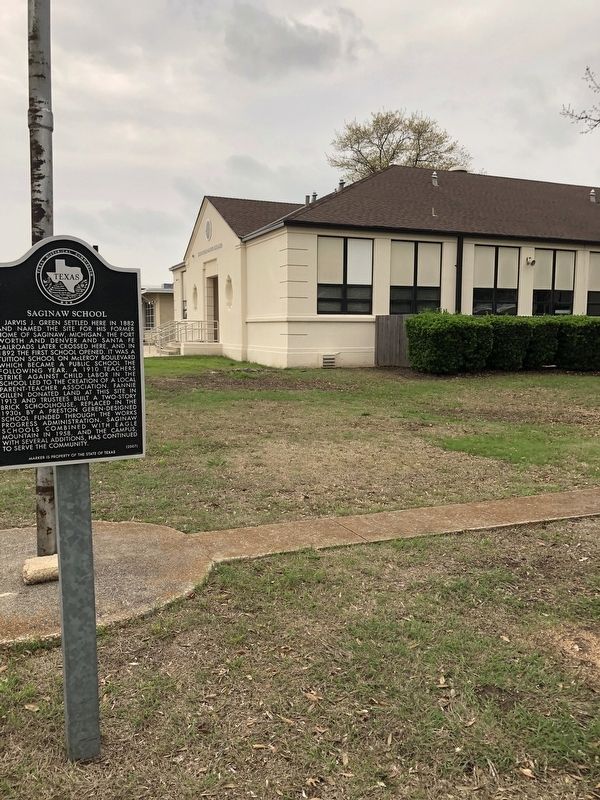
2. Saginaw School Marker
Credits. This page was last revised on March 20, 2020. It was originally submitted on March 19, 2020, by J Frye of Fort Worth, Texas. This page has been viewed 846 times since then and 59 times this year. Photos: 1, 2. submitted on March 19, 2020, by J Frye of Fort Worth, Texas. • J. Makali Bruton was the editor who published this page.
