Farmington in Davis County, Utah — The American Mountains (Southwest)
The Walter Grover Historic Rock Home
Photographed by Andrea Abbott, May 28, 2020
1. The Walter Grover Historic Rock Home Marker
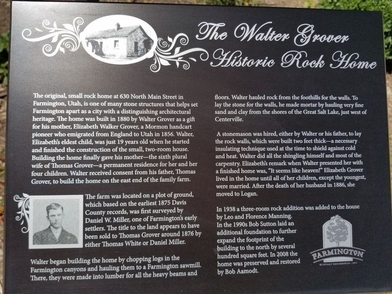
The farm was located on a plot of ground, which based on the earliest 1875 Davis County records, was first surveyed by Daniel W. Miller, one of Farmington's early settlers. The title to the land appears to have been sold to Thomas Grover around 1876 by either Thomas White or Daniel Miller.
Walter began building the home by chopping logs in the Farmington canyons and hauling them to a Farmington
this page online
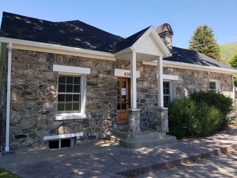
A stonemason was hired, either by Walter or his father, to lay the rock walls, which were built two feet thick - a necessary insulating technique used at the time to shield against cold and heat. Walter did all the shingling himself and most of the carpentry. Elizabeth's remark when Walter presented her with a finished home was, "It seems like heaven!" Elizabeth Grover lived in the home until all of her children, except the youngest were married. After the death of her husband in 1886, she moved to Logan.
In 1938 a three-room rock addition was added to the house by Leo and Florence Manning. In the 1990s, Bob Sutton laid an additional foundation to further expand the footprint of the building to the north by several hundred square feet. In 2008, the home was preserved and restored by Bob Aamodt.
Topics. This historical marker is listed in this
Photographed by Andrea Abbott, May 28, 2020
2. The Walter Grover Historic Rock Home Marker
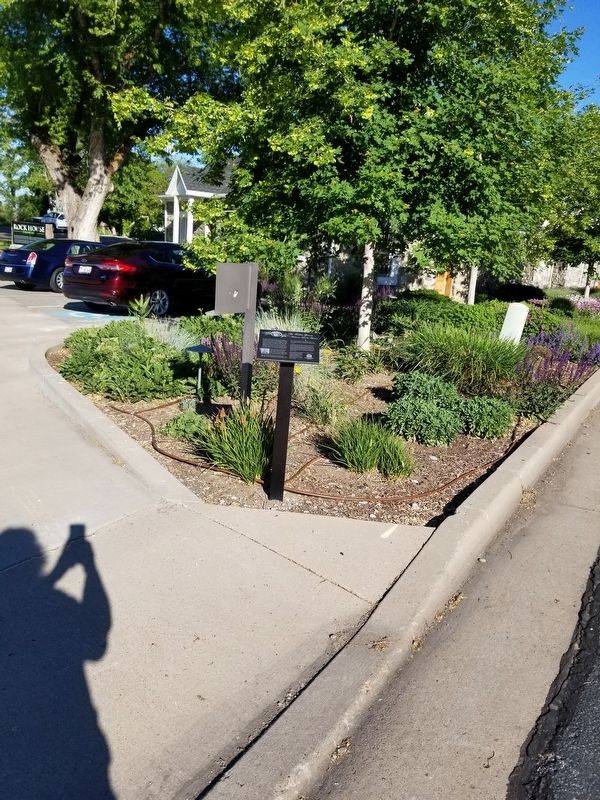
Location. 40° 59.455′ N, 111° 53.554′ W. Marker is in Farmington, Utah, in Davis County. It is on Compton Road north of Main Street, on the left when traveling north. Touch for map. Marker is at or near this postal address: 630 Compton Road, Farmington UT 84025, United States of America. Touch for directions.

Regionally, this marker is in the Wasatch Front and in Greater Salt Lake. It is also in the American Mountain West and on the Colorado Plateau. Globally, it is in North America, the Rocky Mountains, the Western Hemisphere, the Western World, and the Anglosphere. Historically, it finds itself in what was once New Spain and also Mexico’s Alta California.
Other nearby markers. At least 8 other markers are within walking distance of this marker: Old Rock Mill (approx. 0.3 miles away); Primary Association Organized/Farmington Meeting House (approx. half a mile away); Pioneer Cabin (approx. half a mile away); LDS Davis Stake President's Office (approx. 0.7 miles away); Civil War Cannon (approx. 0.7 miles away); Leavitt/Clark House (approx. 0.7
Photographed by Andrea Abbott, May 28, 2020
3. The Walter Grover Historic Rock Home Marker
More about this marker. This site is a private residence. Please respect their privacy.
Additional keywords. Thomas Grover
Photographed by Andrea Abbott, May 28, 2020
4. The Walter Grover Historic Rock Home
Credits. This page was last revised on June 2, 2020. It was originally submitted on March 20, 2020. This page has been viewed 957 times since then and 42 times this year. Photos: 1, 2, 3, 4. submitted on May 28, 2020, by Andrea Abbott of Farmington, Utah. • Syd Whittle was the editor who published this page.
