Mountainview in Nashville in Davidson County, Tennessee — The American South (East South Central)
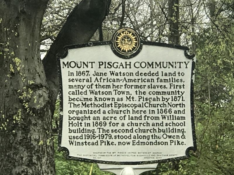
Mount Pisgah Community
Erected 2005 by The Historical Commission of Metropolitan Nashville and Davidson County. (Marker Number 107.)
Topics and series. This historical marker is listed in these topic lists: African Americans • Churches & Religion • Settlements & Settlers. In addition, it is included in the Tennessee, The Historical Commission of Metropolitan Nashville and Davidson County series list. A significant historical year for this entry is 1867.
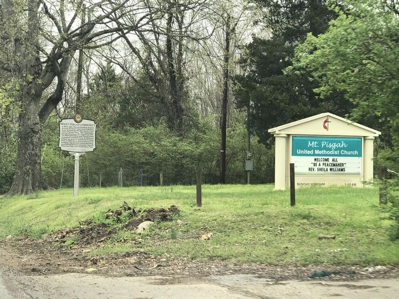
Location. 36° 1.338′ N, 86° 44.553′ W. Marker is in Nashville, Tennessee, in Davidson County. It is in Mountainview. Marker is on Edmondson Pike, 0.1 miles south of Mount Pisgah Road, on the right when traveling north. Touch for map. Marker is at or near this postal address: 5996 Edmondson Pike, Nashville TN 37211, United States of America. Touch for directions.
Other nearby markers. At least 8 other markers are within 2 miles of this marker, measured as the crow flies. Cottonport (approx. 0.9 miles away); Oglesby Community House (approx. 1.1 miles away); Edmondson - Little Spring House (approx. 1.4 miles away); Sneed Acres (approx. 1.4 miles away); John Bell's Birthplace (approx. 1.8 miles away); May-Granbery House and Alford Cemetery (approx. 1.9 miles away); Hunt-Little Cemetery (approx. 1.9 miles away); Owen-Moore Cemetery (approx. 2.1 miles away). Touch for a list and map of all markers in Nashville.
Credits. This page was last revised on February 7, 2023. It was originally submitted on March 22, 2020, by Duane and Tracy Marsteller of Murfreesboro, Tennessee. This page has been viewed 673 times since then and 78 times this year. Photos: 1, 2. submitted on March 22, 2020, by Duane and Tracy Marsteller of Murfreesboro, Tennessee. • Devry Becker Jones was the editor who published this page.

