Harpeth Valley Park in Nashville in Davidson County, Tennessee — The American South (East South Central)
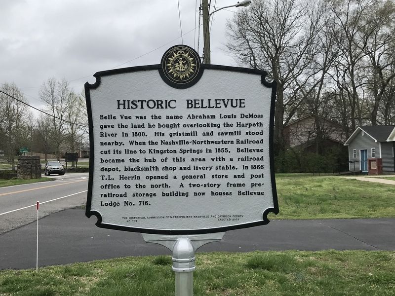
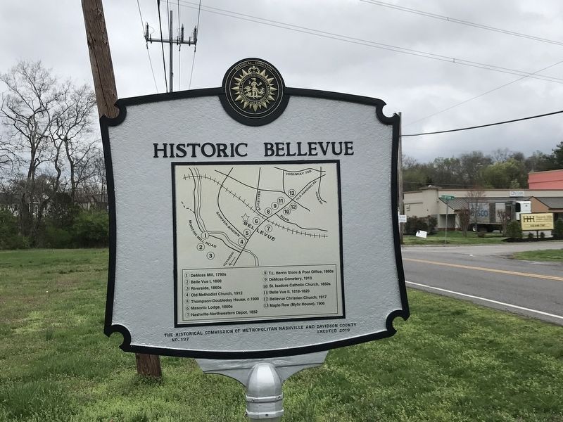
Historic Bellevue
Erected 2019 by The Historical Commission of Metropolitan Nashville and Davidson County. (Marker Number 197.)
Topics and series. This historical marker is listed in these topic lists: Industry & Commerce • Railroads & Streetcars • Settlements & Settlers. In addition, it is included in the Tennessee, The Historical Commission of Metropolitan Nashville and Davidson County series list. A significant historical year for this entry is 1800.
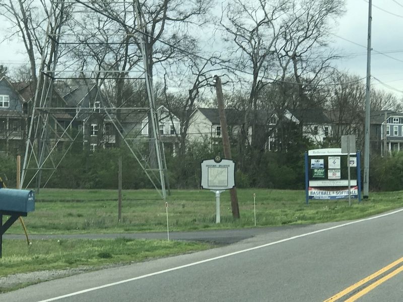
Location. 36° 3.838′ N, 86° 56.425′ W. Marker is in Nashville, Tennessee, in Davidson County. It is in Harpeth Valley Park. Marker is on Old Harding Pike, 0.1 miles east of Harpeth Parkway West, on the left when traveling east. Touch for map. Marker is at or near this postal address: 760 Harpeth Pkwy W, Nashville TN 37221, United States of America. Touch for directions.
Other nearby markers. At least 8 other markers are within 2 miles of this marker, measured as the crow flies. Belle Vue (approx. 0.3 miles away); Old Harding Pike (approx. 0.4 miles away); The Myhr House (approx. 0.7 miles away); DeMoss and the First Belle Vue (approx. ¾ mile away); DeMoss Cabin (approx. ¾ mile away); Old DeMoss Cemetery (approx. 0.9 miles away); Devon Farm (approx. 1.2 miles away); Devon Farm Cemetery (approx. 1.3 miles away). Touch for a list and map of all markers in Nashville.
Credits. This page was last revised on February 7, 2023. It was originally submitted on March 23, 2020, by Duane and Tracy Marsteller of Murfreesboro, Tennessee. This page has been viewed 686 times since then and 90 times this year. Photos: 1, 2, 3. submitted on March 23, 2020, by Duane and Tracy Marsteller of Murfreesboro, Tennessee. • Devry Becker Jones was the editor who published this page.


