Una in Nashville in Davidson County, Tennessee — The American South (East South Central)
Una Community
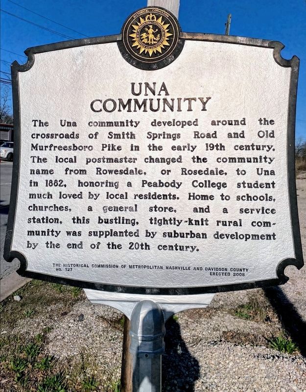
The Una community developed around the crossroads of Smith Springs Road and Old Murfreesboro Pike in the early 19th century. The local postmaster changed the community name from Rowesdale, or Rosedale, to Una in 1882, honoring a Peabody College student much loved by local residents. Home to schools. churches, a general store, and a service station, this bustling, tightly-knit rural community was supplanted by suburban development by the end of the 20th century.
Erected 2008 by The Historical Commission of Metropolitan Nashville and Davidson County. (Marker Number 137.)
Topics and series. This historical marker is listed in this topic list: Settlements & Settlers. In addition, it is included in the Tennessee, The Historical Commission of Metropolitan Nashville and Davidson County series list. A significant historical year for this entry is 1882.
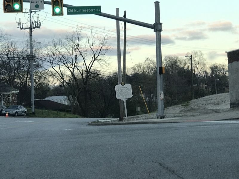
Location. 36° 5.804′ N, 86° 39.258′ W. Marker is in Nashville, Tennessee, in Davidson County. It is in Una. Marker is at the intersection of Smith Springs Road and Old Murfreesboro Pike, on the right when traveling east on Smith Springs Road. Touch for map. Marker is at or near this postal address: 2000 Old Murfreesboro Pike, Nashville TN 37217, United States of America. Touch for directions.
Other nearby markers. At least 8 other markers are within 3 miles of this marker, measured as the crow flies. GranDale (approx. ¾ mile away); Ezell House (approx. 1.3 miles away); Tennessee Hospital for the Insane (approx. 1½ miles away); Locust Hill (approx. 2.4 miles away); Tennessee/Spring Water Brewery (approx. 2.7 miles away); Tolbert Fanning (approx. 3 miles away); Antioch High School (approx. 3 miles away); Percy Priest Lake (approx. 3 miles away). Touch for a list and map of all markers in Nashville.
More about this marker. Marker located on grounds of Ellis Service Station/Garage, listed on National Register of Historic Places.
Credits. This page was last revised on February 7, 2023. It was originally submitted on March 24, 2020, by Duane and Tracy Marsteller of Murfreesboro, Tennessee. This page has been viewed 905 times since then and 169 times this year. Photos: 1. submitted on May 10, 2021, by Shane Oliver of Richmond, Virginia. 2. submitted on March 24, 2020, by Duane and Tracy Marsteller of Murfreesboro, Tennessee. • Devry Becker Jones was the editor who published this page.

