Argyle in Denton County, Texas — The American South (West South Central)
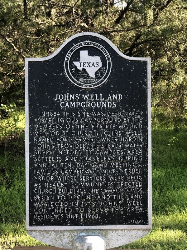
Johns' Well and Campgrounds
In 1884 this site was designated as a religious campground by the members of the Prairie Mound Methodist Church. Johns' Well, named for former owner Hardin Johns, provided the steady water supply needed by campers, area settlers and travelers. During annual ten-day camp meetings, families camped around the brush arbor where services were held. As nearby communities erected church buildings the campgrounds began to decline and the land was sold in 1913. John's well continued to serve the area residents until 1963.
Erected 1982 by Texas Historical Commission. (Marker Number 2827.)
Topics. This historical marker is listed in these topic lists: Churches & Religion • Settlements & Settlers. A significant historical year for this entry is 1884.
Location. 33° 7.09′ N, 97° 12.584′ W. Marker is in Argyle, Texas, in Denton County. Marker is at the intersection of Old Justin Road and CF Taylor Road, on the right when traveling east on Old Justin Road. Touch for map. Marker is in this post office area: Argyle TX 76226, United States of America. Touch for directions.
Other nearby markers. At least 8 other markers are within 7 miles of this marker, measured as the crow flies. Prairie Mound Cemetery (approx. 1.1 miles away); Argyle (approx. 1.6 miles away); Graham Argyle Cemetery (approx. 2.1 miles away); Argyle United Methodist Church (approx. 2.6 miles away); Annie Webb Blanton (approx. 5 miles away); Bartonville (approx. 5.4 miles away); Justin (approx. 5.8 miles away); Old Alton Cemetery (approx. 6.2 miles away). Touch for a list and map of all markers in Argyle.
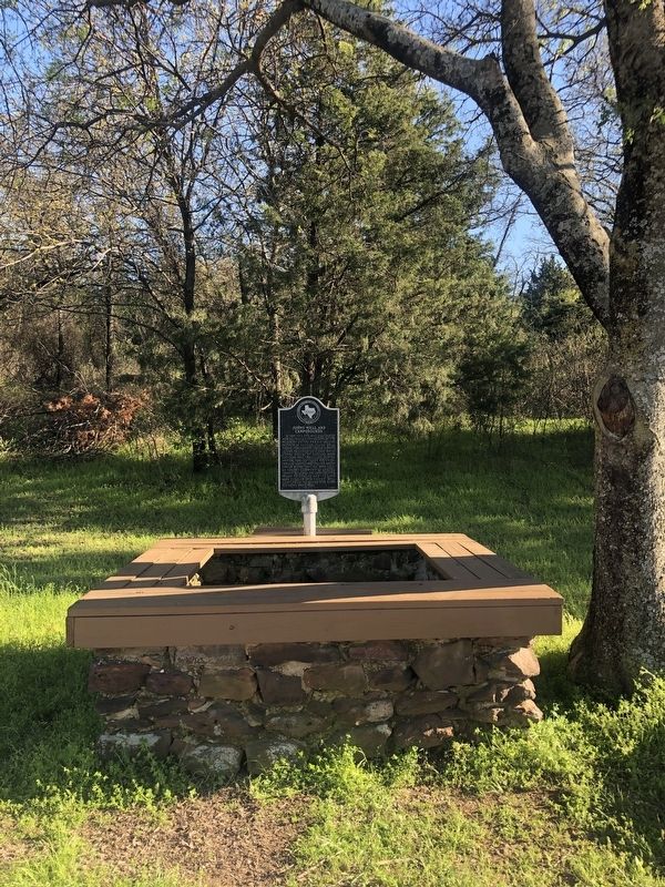
More about this marker. Johns' Well stands on the south side of Old Justin Road, at its intersection with CF Taylor Road, Argyle, TX. It provided water to the area from the 1880s until 1963.
Credits. This page was last revised on August 27, 2020. It was originally submitted on March 25, 2020, by J Frye of Fort Worth, Texas. This page has been viewed 504 times since then and 64 times this year. Photos: 1, 2. submitted on March 25, 2020, by J Frye of Fort Worth, Texas. • J. Makali Bruton was the editor who published this page.

