Wildwood in St. Louis County, Missouri — The American Midwest (Upper Plains)
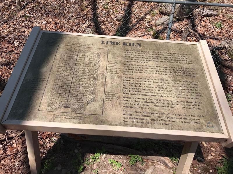
Lime Kiln
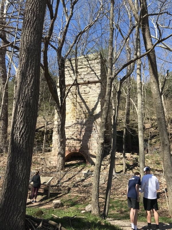
This structure is a lime kiln or oven built around 1856 for James E. Yeatman, a wealthy businessman. This kiln burned limestone rocks at temperatures of over 800°F, breaking them down to powdered lime. Yeatman used the lime for mortar to build large stone houses in his subdivision around Glencoe.
The kiln is made of native limestone block and lined with firebrick made in St. Louis. It is almost 20 feet square at the base and 40 feet tall. Expansion joints on all four sides allowed the kiln to expand and contract during the firing process.
The kiln was built next to a hill so it could be loaded from above. Limestone was hauled up the hill to the top of the kiln and dumped into it. Locally cut firewood was loaded into the double arches on each side of the base of the kiln. One cord of wood produced about 25 to 30 barrels of lime. The kiln burned about seven cords of wood every 24 hours. It operated continuously unless it was in need of repair.
Workers shoveled the hot powdered lime out through the front archway, allowing it to cool. Lime was and still is used to make cement and mortar and to "sweeten" acid soils in crop fields.
Several more kilns were built after 1868 when the Cobb-Wright-Cass Mining Company purchased the land we call Rockwoods to quarry limestone on a larger scale. None of these other kilns remain.
Topics. This historical marker is listed in this topic list: Industry & Commerce. A significant historical year for this entry is 1856.
Location. 38° 33.908′ N, 90° 40.109′ W. Marker is in Wildwood, Missouri, in St. Louis County. Marker is at the intersection of Rock Quarry Trail and Glencoe Road, on the right when traveling west on Rock Quarry Trail. Touch for map. Marker is at or near this postal address: 2672 Glencoe Rd, Glencoe MO 63038, United States of America. Touch for directions.
Other nearby markers. At least 8 other markers are within 4 miles of this marker, measured as the crow flies. Historic Pond (approx. 1˝ miles away); Historic Grover (approx. 1.9 miles away); Historic Hollow (approx. 2.3 miles away); Historic Glencoe (approx. 2.8 miles away); Historic Melrose (approx. 2.9 miles away); Historic Fox Creek (approx. 3.3 miles away); Meramec Greenway - Rock Hollow Trail (approx. 3.7 miles away); Doctor Edmund A. Babler (approx. 3.8 miles away). Touch for a list and map of all markers in Wildwood.
Additional keywords. Rockwood Reservation
Credits. This page was last revised on April 7, 2020. It was originally submitted on March 29, 2020, by Sarah McGinnis of Wildwood, Missouri. This page has been viewed 473 times since then and 92 times this year. Photos: 1. submitted on April 7, 2020, by Sarah McGinnis of Wildwood, Missouri. 2. submitted on March 29, 2020, by Sarah McGinnis of Wildwood, Missouri. • Devry Becker Jones was the editor who published this page.

