Chalmette in St. Bernard Parish, Louisiana — The American South (West South Central)
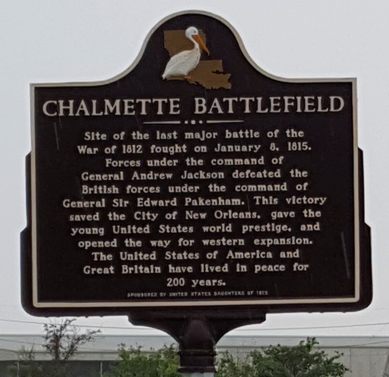
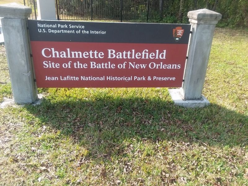
Chalmette Battlefield
Erected by United States Daughters of 1812.
Topics and series. This historical marker is listed in this topic list: War of 1812. In addition, it is included in the Former U.S. Presidents: #07 Andrew Jackson, and the United States Daughters of 1812, National Society series lists. A significant historical date for this entry is January 8, 1815.
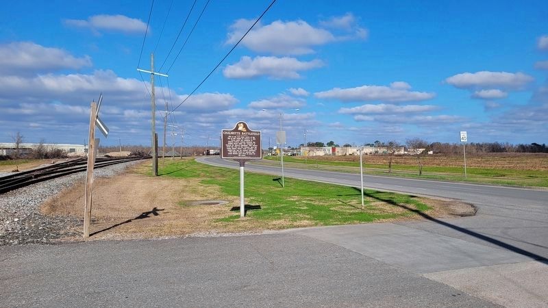
Location. 29° 56.828′ N, 89° 59.479′ W. Marker is in Chalmette, Louisiana, in St. Bernard Parish. Marker is at the intersection of West St. Bernard Highway (State Highway 46) and Battlefield Road, on the right when traveling east on West St. Bernard Highway. Touch for map. Marker is at or near this postal address: 1 Battlefield Road, Chalmette LA 70043, United States of America. Touch for directions.
Other nearby markers. At least 8 other markers are within walking distance of this marker. Fazendeville (a few steps from this marker); The Kentucky Rifle (a few steps from this marker); Chalmette Battlefield And National Cemetery (within shouting distance of this marker); Batteries Seven and Eight (about 700 feet away, measured in a direct line); Batteries Five and Six (approx. 0.2 miles away); The Main Attack (approx. ¼ mile away); Pakenham's Fall (approx. ¼ mile away); Battle Of New Orleans 200th Anniversary (approx. 0.3 miles away). Touch for a list and map of all markers in Chalmette.
Credits. This page was last revised on January 13, 2023. It was originally submitted on March 29, 2020, by Brian Anderson of Humble, Texas. This page has been viewed 325 times since then and 35 times this year. Photos: 1. submitted on March 29, 2020, by Brian Anderson of Humble, Texas. 2. submitted on January 13, 2023, by James Hulse of Medina, Texas. 3. submitted on January 29, 2022, by Craig Doda of Napoleon, Ohio.


