Santa Barbara in Santa Barbara County, California — The American West (Pacific Coastal)
Myron Hunt
Architect
| — | 1868-1952 | — |
Photographed by Craig Baker, March 26, 2020
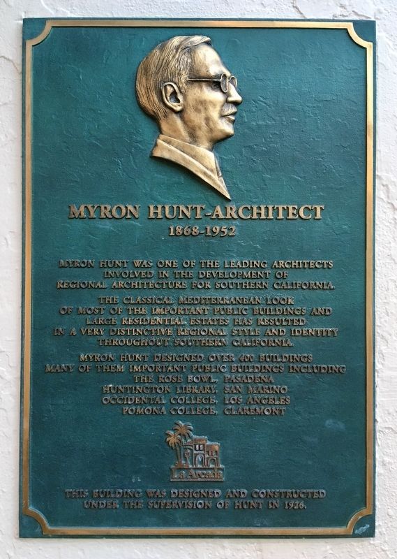
1. Myron Hunt Marker
Myron Hunt was one of the leading architects involved in the development of regional architecture for Southern California.
The classical Mediterranean look of most of the important public buildings and large residential estates has resulted in a very distinctive regional style and identity throughout Southern California.
Myron Hunt designed over 400 buildings, many of them important public buildings including:
The Rose Bowl, Pasadena.
Huntington Library, San Marino.
Occidental College, Los Angeles.
Pomona College, Claremont.
This building was designed and constructed under the supervision of Hunt in 1916.
Erected by La Arcada Plaza.
Topics. This historical marker is listed in these topic lists: Architecture • Notable Buildings.
Location. 34° 25.364′ N, 119° 42.177′ W. Marker is in Santa Barbara, California, in Santa Barbara County. It is on East Figueroa Street east of State Street, on the left when traveling east. Touch for map. Marker is at or near this postal address: 9 East Figueroa Street, Santa Barbara CA 93101, United States of America.
this page online

Regionally, this marker is on the Central Coast, specifically on the Coast Ranges, and specifically in the Transverse Ranges. It is also on the American Pacific Coast. Globally, it is in North America, on the Ring of Fire, on the Pacific Rim, in the Western Hemisphere, in the Western World, and in the Anglosphere. Historically, it finds itself in what was once New Spain and also Mexico’s Alta California.
Other nearby markers. At least 8 other markers are within walking distance of this marker: Janssens-Orella Adobe House Site (within shouting distance of this marker); Santa Barbara County Courthouse (about 500 feet away); Tympanum (about 500 feet away); a different marker also named Santa Barbara County Courthouse (about 600 feet away); Jose Francisco De Ortega (about 600 feet away); Hill-Carrillo Adobe (about 600 feet away); First Ruling Sovereign of Europe to Visit America (about 600 feet away); President Reagan Meets Queen Elizabeth II (about 600 feet away). Touch for a list and map of all markers in Santa Barbara.
Another marker is no longer nearby. In Honor of Gov. Gaspar de Portola (was
Photographed by Craig Baker, March 26, 2020
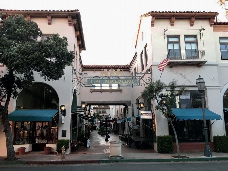
2. Myron Hunt Marker
The marker is to the left of the plaza entrance on Figueroa.
Photographed by Craig Baker, March 26, 2020
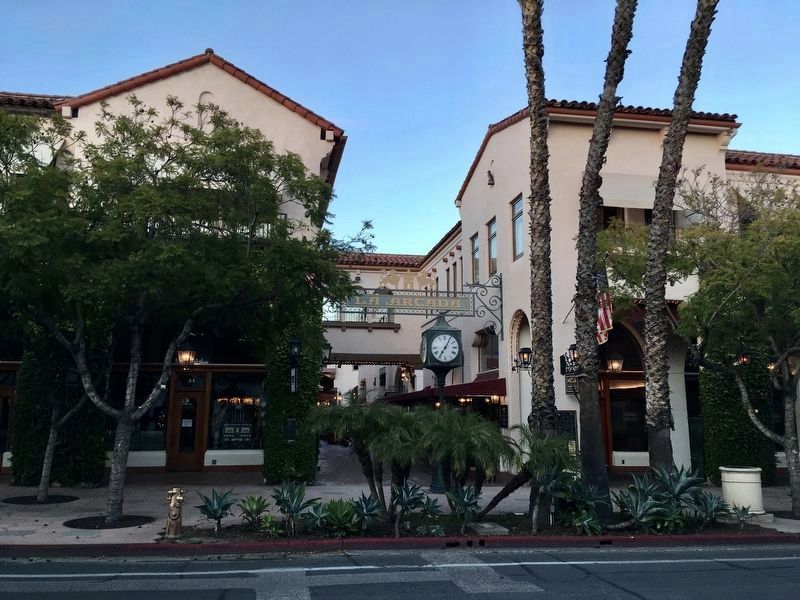
3. State Street Plaza Entrance
An identical marker is at the plaza entrance on State Street, on a column covered in vines.
Photographed by Craig Baker, March 26, 2020
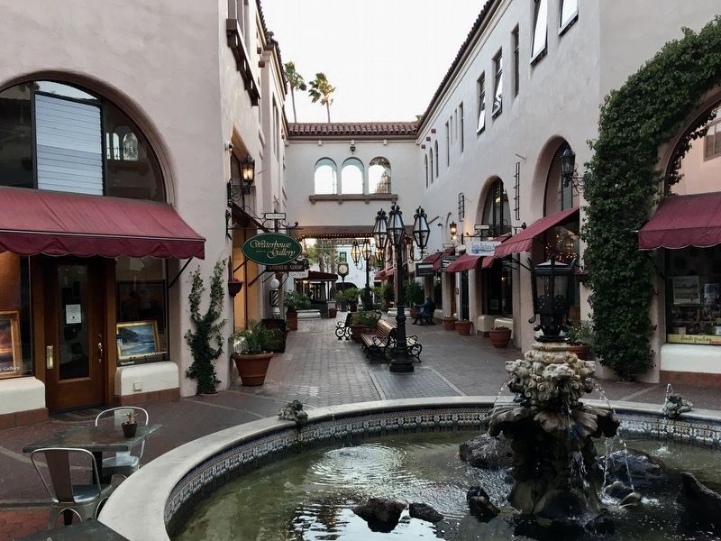
4. La Arcada Plaza Courtyard
Credits. This page was last revised on April 1, 2020. It was originally submitted on March 31, 2020, by Craig Baker of Sylmar, California. This page has been viewed 776 times since then and 29 times this year. Photos: 1, 2, 3, 4. submitted on March 31, 2020, by Craig Baker of Sylmar, California. • Syd Whittle was the editor who published this page.
