Mooers in Clinton County, New York — The American Northeast (Mid-Atlantic)
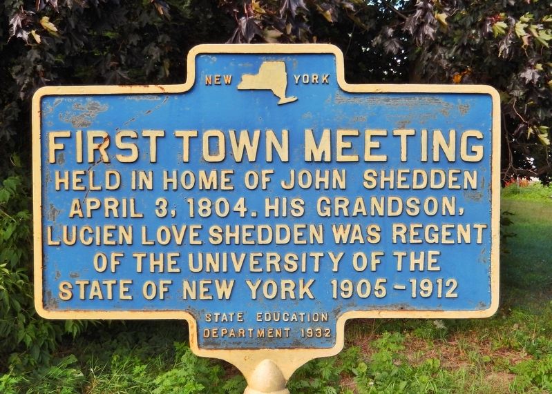
First Town Meeting
April 3, 1804. His grandson,
Lucien Love Shedden was Regent
of The University of the
State of New York 1905-1912.
Erected 1932 by New York State Department of Education.
Topics. This historical marker is listed in these topic lists: Education • Settlements & Settlers. A significant historical date for this entry is April 3, 1804.
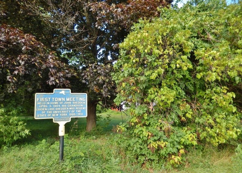
Location. 44° 57.61′ N, 73° 34.814′ W. Marker is in Mooers, New York, in Clinton County. Marker is on East Street east of Champlain Street (New York State Route 22), on the left when traveling east. Touch for map. Marker is at or near this postal address: 12 East Street, Mooers NY 12958, United States of America. Touch for directions.
Other nearby markers. At least 8 other markers are within 7 miles of this marker, measured as the crow flies. Original Hamlet of Sciota (approx. 4.6 miles away); Ober's Corners (approx. 4.7 miles away); McGregor Powerhouse (approx. 6.6 miles away); St. Mary's Academy (approx. 6.7 miles away); Pliny Moore House (approx. 6.9 miles away); First School (approx. 6.9 miles away); Site of Burying Yard (approx. 7 miles away); Jehudi Ashmun (approx. 7.1 miles away).
Also see . . .
1. Mooers, New York (Wikipedia). The region was first settled ca 1796. The town of Mooers was formed from part of the town of Champlain in 1804. In 1830, part of the town was used to create the new town of Ellenburg. (Submitted on April 1, 2020, by Cosmos Mariner of Cape Canaveral, Florida.)
2. the Mooers Historian's Page. The town was formed from the Canada and Nova Scotia Refugee Tract, which was land set apart and given in small parcels by the state government to refugees from Canada and Nova Scotia, who had taken part in the Revolutionary War on the side of the Colonies. (Submitted on April 1, 2020, by Cosmos Mariner of Cape Canaveral, Florida.)
Credits. This page was last revised on April 1, 2020. It was originally submitted on March 31, 2020, by Cosmos Mariner of Cape Canaveral, Florida. This page has been viewed 256 times since then and 31 times this year. Photos: 1, 2. submitted on March 31, 2020, by Cosmos Mariner of Cape Canaveral, Florida.

