Near Elkton in Cecil County, Maryland — The American Northeast (Mid-Atlantic)
Flight 214
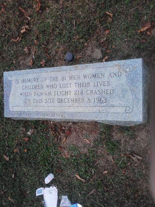
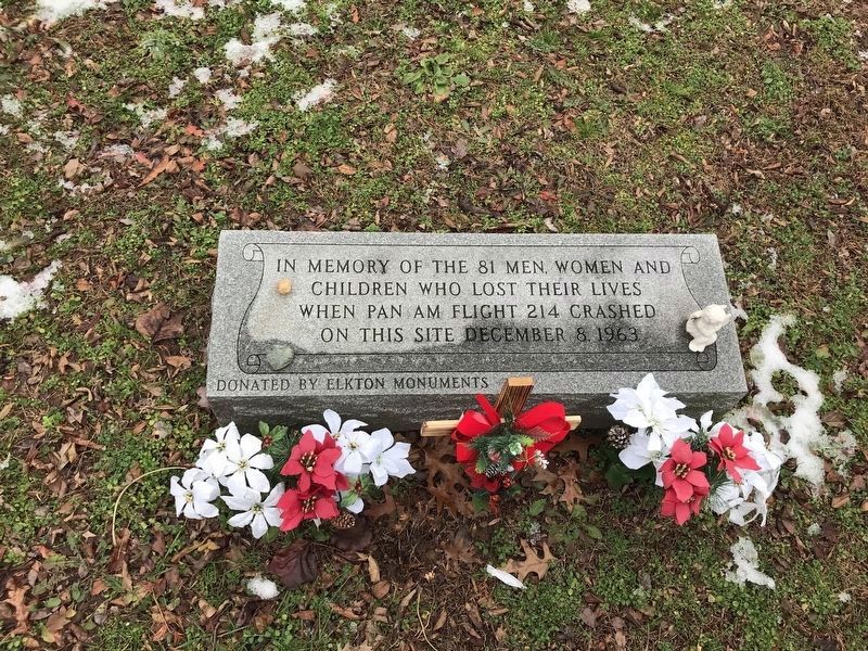
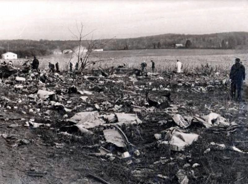
In memory of the 81 men women and children who lost their lives when Pan Am Flight 214 crashed on this site December 8, 1963
Erected by Elkton Monuments.
Topics. This historical marker is listed in these topic lists: Air & Space • Disasters. A significant historical date for this entry is December 8, 1963.
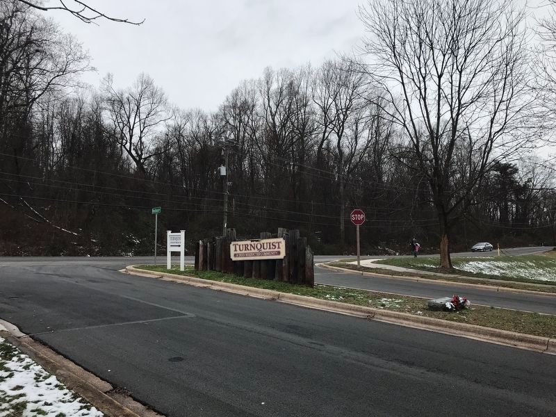
Location. 39° 36.796′ N, 75° 47.496′ W. Marker is near Elkton, Maryland, in Cecil County. Marker is on Wheelhouse Drive east of Delancey Road (Maryland Route 781), in the median. Touch for map. Marker is in this post office area: Elkton MD 21921, United States of America. Touch for directions.
Other nearby markers. At least 8 other markers are within 2 miles of this marker, measured as the crow flies. Old Post Road (approx. 0.6 miles away); Friendship (approx. 1.4 miles away); Creswell Hall (approx. 1˝ miles away); The Hermitage (approx. 1.6 miles away); Maryland Bicentennial Tree (approx. 2 miles away); Mitchell House (approx. 2 miles away); Elkton, Wedding Capital of the East (approx. 2 miles away); Michael Rudulph (approx. 2 miles away). Touch for a list and map of all markers in Elkton.
Also see . . . "Pan American Airways Crash Worst Disaster in Maryland History". Window on Cecil County's past entry (Submitted on April 7, 2020, by Carl Gordon Moore Jr. of North East, Maryland.)
Credits. This page was last revised on January 17, 2022. It was originally submitted on April 5, 2020, by Carl Gordon Moore Jr. of North East, Maryland. This page has been viewed 636 times since then and 117 times this year. Photos: 1. submitted on April 5, 2020, by Carl Gordon Moore Jr. of North East, Maryland. 2, 3. submitted on January 5, 2022, by Adam Margolis of Mission Viejo, California. 4. submitted on December 28, 2020, by Larry Gertner of New York, New York. • Bill Pfingsten was the editor who published this page.


