East Nashville in Davidson County, Tennessee — The American South (East South Central)
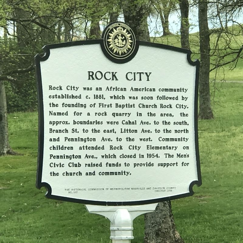
Rock City
Erected 2018 by The Historical Commission of Metropolitan Nashville and Davidson County. (Marker Number 180.)
Topics and series. This historical marker is listed in these topic lists: African Americans • Churches & Religion • Education. In addition, it is included in the Tennessee, The Historical Commission of Metropolitan Nashville and Davidson County series list. A significant historical year for this entry is 1881.
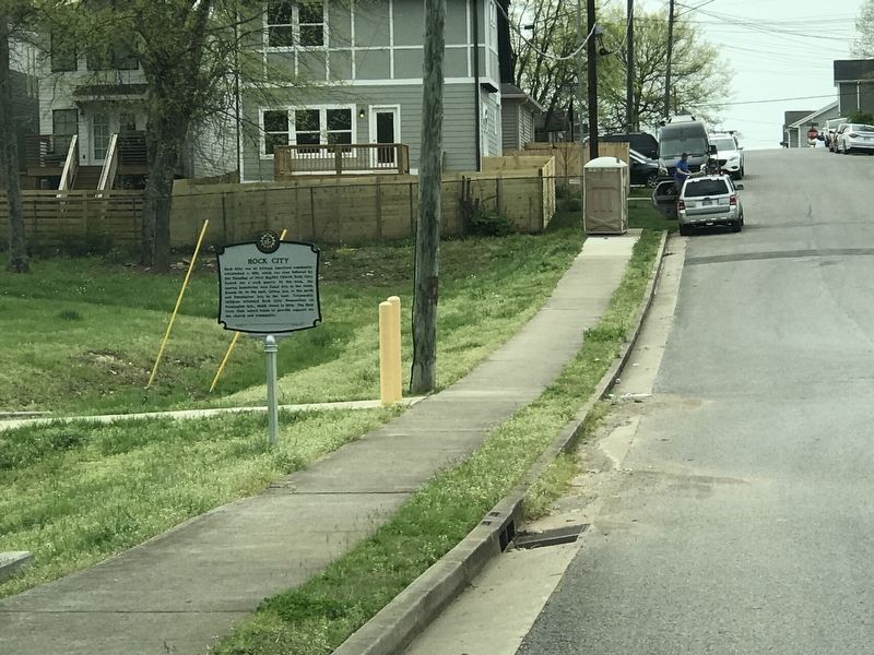
Location. 36° 11.923′ N, 86° 43.675′ W. Marker is in Nashville, Tennessee, in Davidson County. It is in East Nashville. Marker is at the intersection of Ann Street and Rock City Street, on the right when traveling west on Ann Street. Touch for map. Marker is at or near this postal address: 2152 Rock City St, Nashville TN 37216, United States of America. Touch for directions.
Other nearby markers. At least 8 other markers are within 2 miles of this marker , measured as the crow flies. Eastland / Cora Howe’s “Wildings” (approx. ¾ mile away); Engine Co. 18 Fire Hall (approx. 1.1 miles away); School Desegregation in Nashville / Hattie Cotton Elementary School (approx. 1.2 miles away); Penny Campbell (approx. 1.4 miles away); Hill McAlister (approx. 1.4 miles away); Cornelia Fort Airport (approx. 1½ miles away); Lockeland Spring (approx. 1.6 miles away); Oprah's Career Start (approx. 1.8 miles away). Touch for a list and map of all markers in Nashville.
Credits. This page was last revised on February 7, 2023. It was originally submitted on April 6, 2020, by Duane and Tracy Marsteller of Murfreesboro, Tennessee. This page has been viewed 467 times since then and 97 times this year. Photos: 1, 2. submitted on April 6, 2020, by Duane and Tracy Marsteller of Murfreesboro, Tennessee. • Devry Becker Jones was the editor who published this page.

