High Falls in Ulster County, New York — The American Northeast (Mid-Atlantic)
Hydroelectric Power
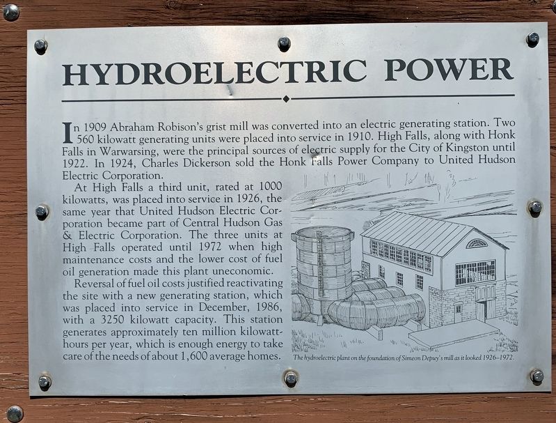
In 1909 Abraham Robison's grist mill was converted into an electric generating station. Two 560 kilowatt generating units were placed into service in 1910. High Falls, along with Honk Falls in Warwarsing, were the principal sources of electric supply for the City of Kingston until 1922. In 1924, Charles Dickerson sold the Honk Falls Power Company to United Hudson Electric Corporation.
At High Falls a third unit, rated at 1000 kilowatts, was placed into service in 1926, the same year that United Hudson Electric Corporation became part of Central Hudson Gas & Electric Corporation. The three units at High Falls operated until 1972 when high maintenance costs and the lower cost of fuel oil generation made this plant uneconomic.
Reversal of fuel oil costs justified reactivating the site with a new generating station, which was placed into service in December, 1986, with a 3250 kilowatt capacity. This station generates approximately ten million kilowatt-hours per year, which is enough energy to take care of the needs of about 1,600 average homes.
illustration
The hydroelectric plant on the foundation of Simeon Depuy's mill as it looked 1926–1972.
Topics. This historical marker is listed in this topic list: Industry & Commerce. A significant historical month for this entry is December 1986.
Location. 41° 49.74′ N, 74° 7.869′ W. Marker is in High Falls, New York, in Ulster County. Marker can be reached from the intersection of Main Street (New York State Route 213) and Berme Road, on the right when traveling west. Touch for map. Marker is in this post office area: High Falls NY 12440, United States of America. Touch for directions.
Other nearby markers. At least 8 other markers are within walking distance of this marker. The Delaware & Hudson Canal (within shouting distance of this marker); Geology of High Falls (within shouting distance of this marker); The Aqueducts (within shouting distance of this marker); Water-Powered Mills (within shouting distance of this marker); The High Falls Historic Site (within shouting distance of this marker); Clove Reformed Church (about 600 feet away, measured in a direct line); Roebling Aqueduct Abutment Trail (approx. 0.2 miles away); Old Depuy House (approx. ¼ mile away). Touch for a list and map of all markers in High Falls.
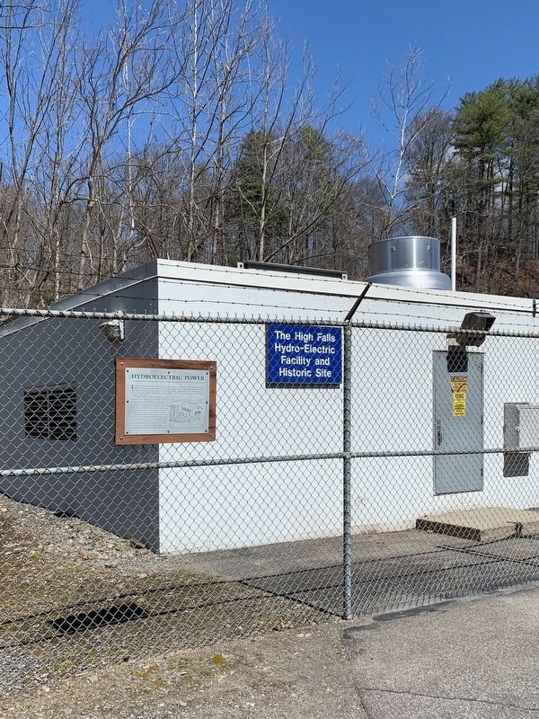
More about this marker. Marker is on the trail along Rondout Creek behind the CH G&E substation.
Credits. This page was last revised on April 9, 2020. It was originally submitted on April 8, 2020, by Steve Stoessel of Niskayuna, New York. This page has been viewed 163 times since then and 27 times this year. Photos: 1, 2. submitted on April 8, 2020, by Steve Stoessel of Niskayuna, New York. • Michael Herrick was the editor who published this page.

