Santa Barbara in Santa Barbara County, California — The American West (Pacific Coastal)
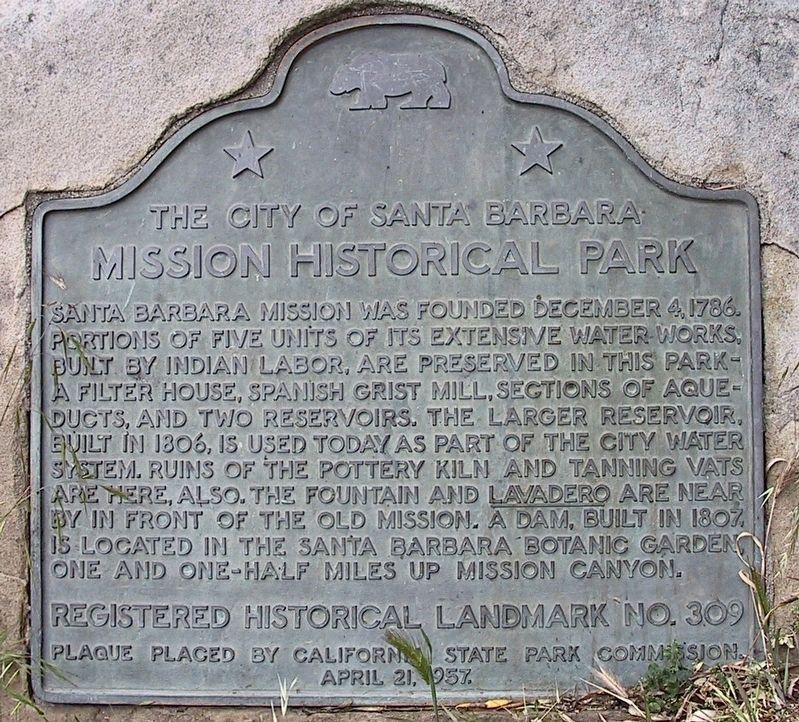
Mission Historical Park
The City of Santa Barbara
| — | Santa Barbara Mission | — |
Photographed by Michael Kindig, March 29, 2002
1. Mission Historical Park Marker
Erected 1957 by California State Park Commission. (Marker Number 309.)
Topics and series. This historical marker is listed in these topic lists: Religion & Religious Structures • Settlements & Settlers. In addition, it is included in the California Historical Landmarks series list. A significant historical date for this entry is December 4, 1904.
Location. 34° 26.394′ N, 119° 42.732′ W. Marker is in Santa Barbara, California, in Santa Barbara County. It can be reached from Los Olivos Street north of Alameda Padre Serra, on the right when traveling north. Touch for map. Marker
this page online

Regionally, this marker is on California’s Central Coast, specifically on the Coast Ranges, and specifically in the Transverse Ranges. It is also on the American Pacific Coast. Globally, it is in North America, on the Ring of Fire, in the Pacific Rim, in the Western Hemisphere, in the Western World, and in the Anglosphere. Historically, it finds itself in what was once New Spain and also Mexico’s Alta California.
Other nearby markers. At least 8 other markers are within walking distance of this marker: Santa Barbara Mission Early Water Supply (here, next to this marker); Santa Barbara Mission Aqueduct (about 500 feet away, measured in a direct line); Juana Maria (about 500 feet away); Santa Barbara Mission (about 600 feet away); Don Jose Francisco De Ortega (about 800 feet away); Moorish Fountain and Indian Community Laundry (approx. 0.2 miles away); Santa Barbara Mission Lavanderia (approx. 0.2 miles away); Assembly Required (approx. 0.2 miles away). Touch for a list and map of all markers
2017
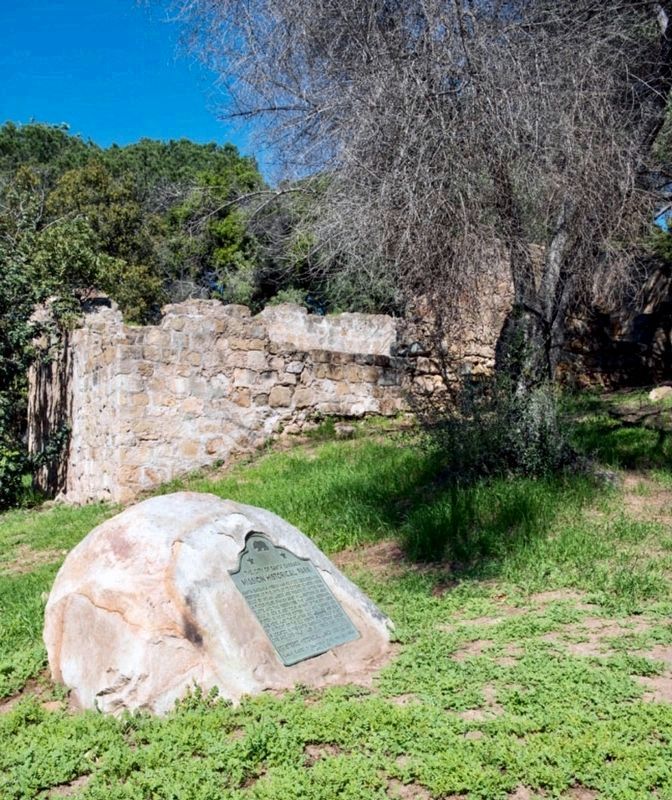
2. Marker and Mission Water Works
Photographed by Craig Baker, March 26, 2020
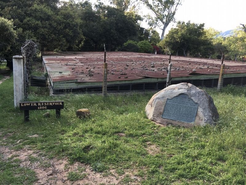
3. Marker and Reservoir
The lower reservoir, built in 1806, is used today as part of the city water system.
Photographed by Craig Baker, March 26, 2020
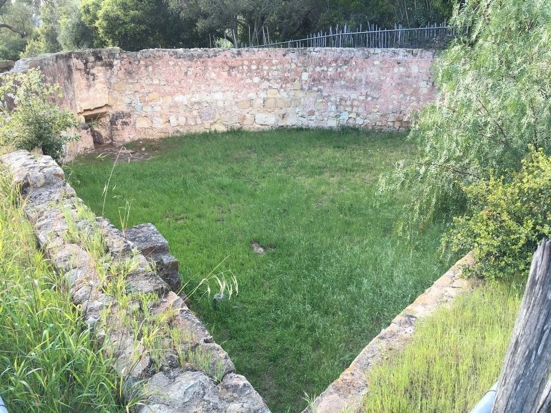
4. Upper Reservoir
Photographed by Craig Baker, March 26, 2020
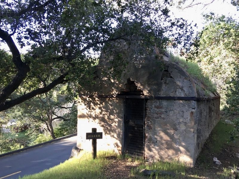
5. Filter
A pool inside allowed particles to settle to the bottom.
Photographed by Michael Kindig, March 24, 2002
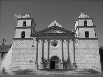
6. Mission Santa Barbara
Photographed by Michael Kindig, March 24, 2002
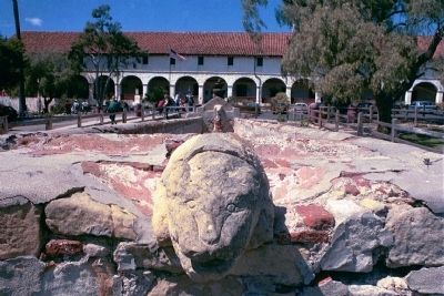
7. Lavadero
The Mission is in the background.

Photographed by Michael Kindig, March 29, 2002
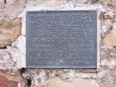
8. Mission Aqueduct
Photographed by Michael Kindig, March 29, 2002
9. Santa Barbara Mission Aqueduct
See Nearby Marker
Credits. This page was last revised on November 26, 2025. It was originally submitted on December 16, 2011, by Michael Kindig of Elk Grove, California. This page has been viewed 1,233 times since then and 57 times this year. Last updated on April 11, 2020, by Craig Baker of Sylmar, California. Photos: 1. submitted on November 13, 2023. 2. submitted on October 31, 2018, by Craig Baker of Sylmar, California. 3, 4, 5. submitted on April 4, 2020, by Craig Baker of Sylmar, California. 6, 7, 8, 9. submitted on December 16, 2011, by Michael Kindig of Elk Grove, California. • Syd Whittle was the editor who published this page.
