Helper in Carbon County, Utah — The American Mountains (Southwest)
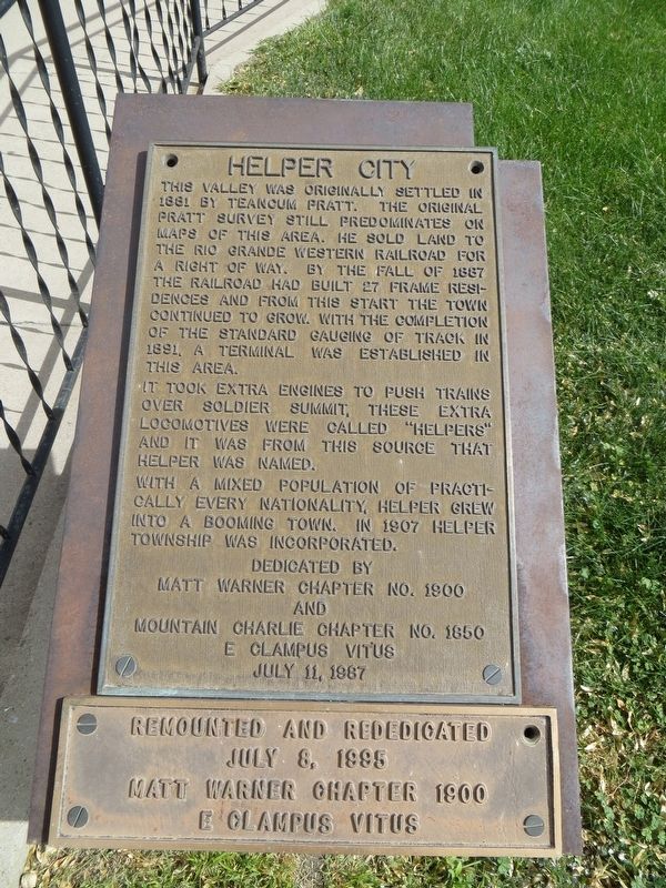
Helper City
It took extra engines to push trains over Soldier Summit, these extra locomotives were called "Helpers" and it was from this source that Helper was named.
With a mixed population of practically every nationality, Helper grew into a booming town. In 1907 Helper Township was incorporated.
Erected 1987 by E Clampus Vitus, Matt Warner Chapter No. 1900 and Mountain Charlie Chapter No. 1850.
Topics and series. This historical marker is listed in these topic lists: Railroads & Streetcars • Settlements & Settlers. In addition, it is included in the E Clampus Vitus series list. A significant historical year for this entry is 1881.
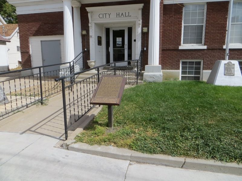
Location. 39° 41.146′ N, 110° 51.27′ W. Marker is in Helper, Utah, in Carbon County. Marker is on South Main Street, on the right when traveling north. Touch for map. Marker is at or near this postal address: 73 South Main Street, Helper UT 84526, United States of America. Touch for directions.
Other nearby markers. At least 8 other markers are within walking distance of this marker. Helper City Hall (here, next to this marker); 80 South Main Street (within shouting distance of this marker); Helper Main Post Office (about 300 feet away, measured in a direct line); Smart Shop (about 500 feet away); The Barboglio Building (about 500 feet away); 167 South Main Street (about 500 feet away); Helper Civic Auditorium (about 600 feet away); Carbon Hotel (approx. 0.2 miles away). Touch for a list and map of all markers in Helper.
Credits. This page was last revised on April 15, 2020. It was originally submitted on April 15, 2020, by Bill Kirchner of Tucson, Arizona. This page has been viewed 172 times since then and 19 times this year. Photos: 1, 2. submitted on April 15, 2020, by Bill Kirchner of Tucson, Arizona.

