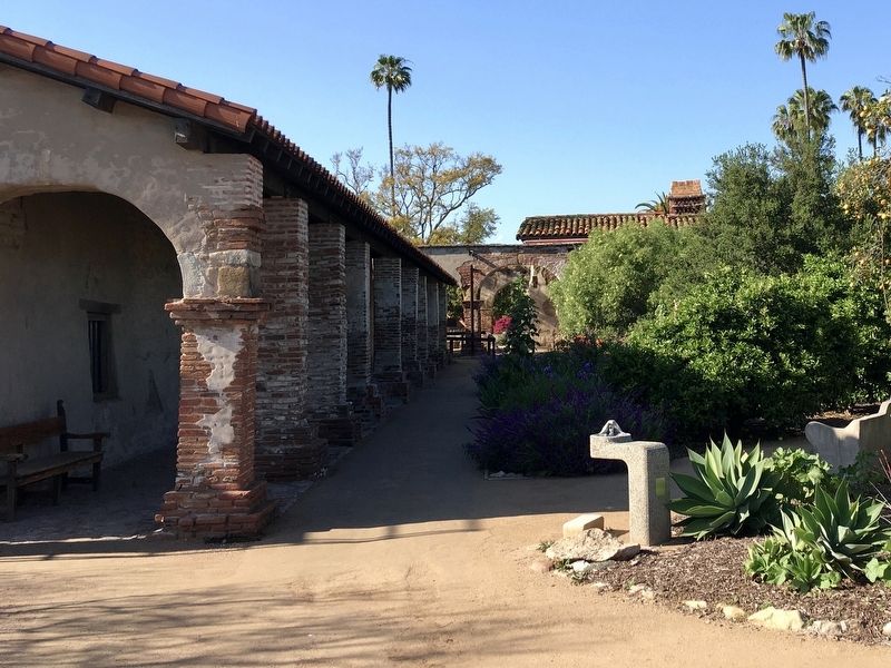
San Juan Capistrano in Orange County, California — The American West (Pacific Coastal)
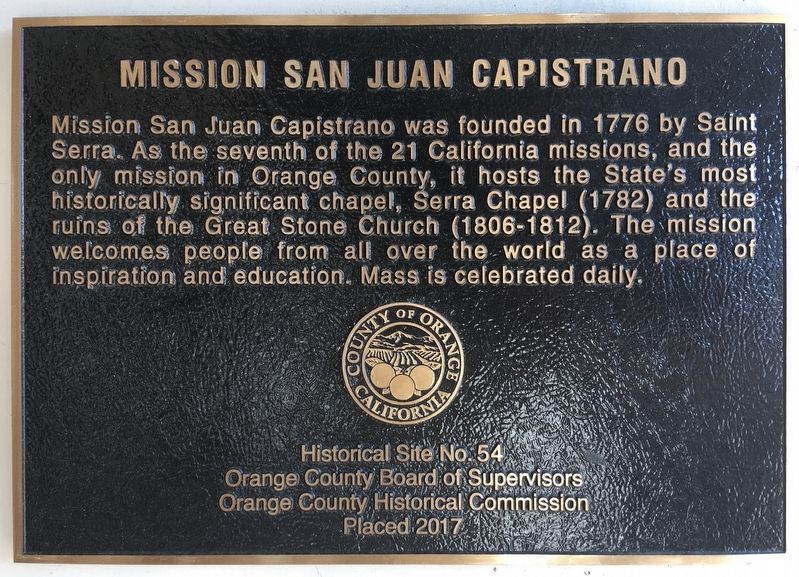
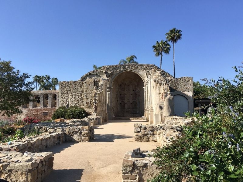
Mission San Juan Capistrano
Erected 2017 by Orange County. (Marker Number 54.)
Topics. This historical marker is listed in these topic lists: Churches & Religion • Notable Buildings. A significant historical year for this entry is 1776.
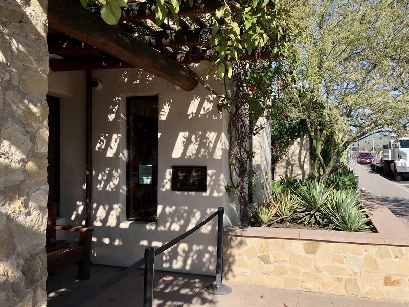
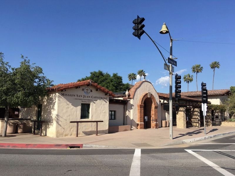
Location. 33° 30.12′ N, 117° 39.752′ W. Marker is in San Juan Capistrano, California, in Orange County. Marker is at the intersection of Ortega Highway and Camino Capistrano, on the left when traveling east on Ortega Highway. Touch for map. Marker is at or near this postal address: 26801 Ortega Highway, San Juan Capistrano CA 92675, United States of America. Touch for directions.
Other nearby markers. At least 8 other markers are within walking distance of this marker. A different marker also named Mission San Juan Capistrano (a few steps from this marker); San Juan Capistrano Mission (within shouting distance of this marker); The Founding Documents of Mission San Juan Capistrano (within shouting distance of this marker); Metalworking Furnaces (within shouting distance of this marker); El Camino Real Bell (within shouting distance of this marker); Site of the Valenzuela Adobe (about 300 feet away, measured in a direct line); El Camino Real (about 300 feet away); Franciscan Plaza (about 300 feet away). Touch for a list and map of all markers in San Juan Capistrano.
Additional keywords. California Historical Landmark No. 200
Credits. This page was last revised on April 18, 2020. It was originally submitted on April 18, 2020, by Craig Baker of Sylmar, California. This page has been viewed 219 times since then and 28 times this year. Photos: 1, 2, 3, 4, 5. submitted on April 18, 2020, by Craig Baker of Sylmar, California. • Syd Whittle was the editor who published this page.
