Near Spanish Fork in Utah County, Utah — The American Mountains (Southwest)
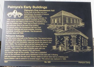
Palmyra’s Early Buildings
To the north of the little one-room schoolhouse, the people of Palmyra began building the lumber Amusement Hall on February 10, 1900. It took exactly one month to complete the building, and a dance was held in it that evening. A potbellied stove kept the building warm. There was no indoor plumbing; the outhouses were to the east of the building. For several years, the Amusement Hall was used for church meetings and social activities, including basketball, wrestling, and dances. The Amusement Hall was used until 1933.
Palmyra’s Schools
The first school was built in the Palmyra Fort. The second school, an adobe brick building which measured twenty-four feet by thirty-two feet with a rock foundation, was built across the street in the early 1890s. The entrance was a six-foot hallway with a row of coat hooks around the wall and a shelf above for dinner buckets. There were four rows of double seats with one grade in each row – first, second, third, and fourth; one teacher taught all four grades. There was a potbellied stove in the northeast corner and a blackboard on the east wall. A flowing well was located near the east wall. Horses ridden to school were tied to a hitching post. Some children rode to school in a covered wagon. This school was replaced in 1920.
Erected 1997 by Daughters of Utah Pioneers, Palmyra Camp. (Marker Number 500.)
Topics and series. This historical marker is listed in these topic lists: Education • Settlements & Settlers. In addition, it is included in the Daughters of Utah Pioneers series list. A significant historical date for this entry is February 10, 1900.
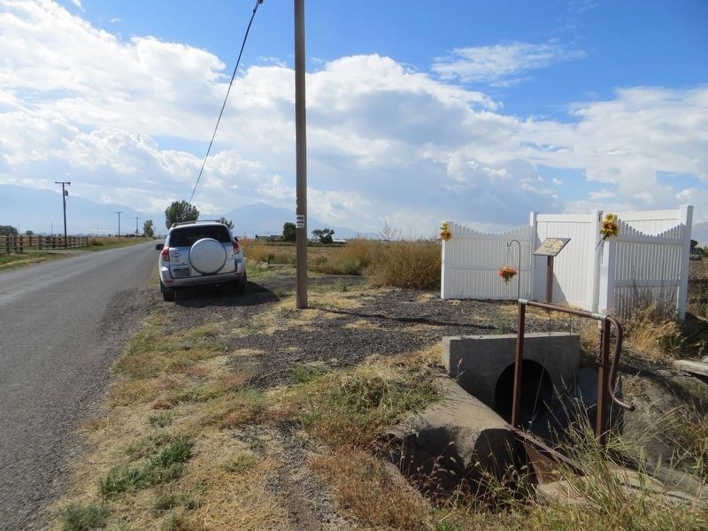
Location. 40° 8.199′ N, 111° 41.361′ W. Marker is near Spanish Fork, Utah, in Utah County. Marker is on South 1450 West, 0.3 miles south of West 5000 South, on the right when traveling south. Touch for map. Marker is in this post office area: Spanish Fork UT 84660, United States of America. Touch for directions.
Other nearby markers. At least 8 other markers are within 3 miles of this marker, measured as the crow flies. Fort Palmyra (approx. one mile away); Old Palmyra (approx. 1.2 miles away); Lake Shore Fort (approx. 1.6 miles away); Old Academy (approx. 2.3 miles away); Escalante (approx. 2.6 miles away); The Lush Valley of the Timpanogotzis (approx. 2.6 miles away); The Spanish Fork Indian Farm Reservation (approx. 2.7 miles away); Old Fort (approx. 2.7 miles away). Touch for a list and map of all markers in Spanish Fork.
Credits. This page was last revised on April 23, 2020. It was originally submitted on April 23, 2020, by Bill Kirchner of Tucson, Arizona. This page has been viewed 173 times since then and 15 times this year. Photos: 1, 2, 3. submitted on April 23, 2020, by Bill Kirchner of Tucson, Arizona.


