Avondale in Jacksonville in Duval County, Florida — The American South (South Atlantic)
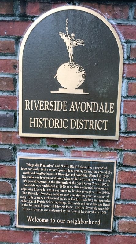
Riverside Avondale Historic District
“Magnolia Plantation” and “Dell's Bluff,” plantations assembled from two early 19th century Spanish land grants, formed the core of the combined neighborhoods of Riverside and Avondale. Platted in 1869, Riverside was incorporated into Jacksonville’s city limits by 1887, and it’s growth boomed in the aftermath of the city’s Great Fire of 1901.
Avondale was established in 1920 as an elite residential community adjoining Riverside, and it continued to develop throughout the 1930’s. The Riverside Avondale neighborhood contains the greatest variety of early 20th century architectural styles in Florida, including an impressive collection of Prairie School buildings. Riverside and Avondale are listed in the National Register of Historic Places, and the Riverside Avondale Historic District was designated by the City of Jacksonville in 1998.
Topics. This historical marker is listed in this topic list: Architecture. A significant historical year for this entry is 1869.
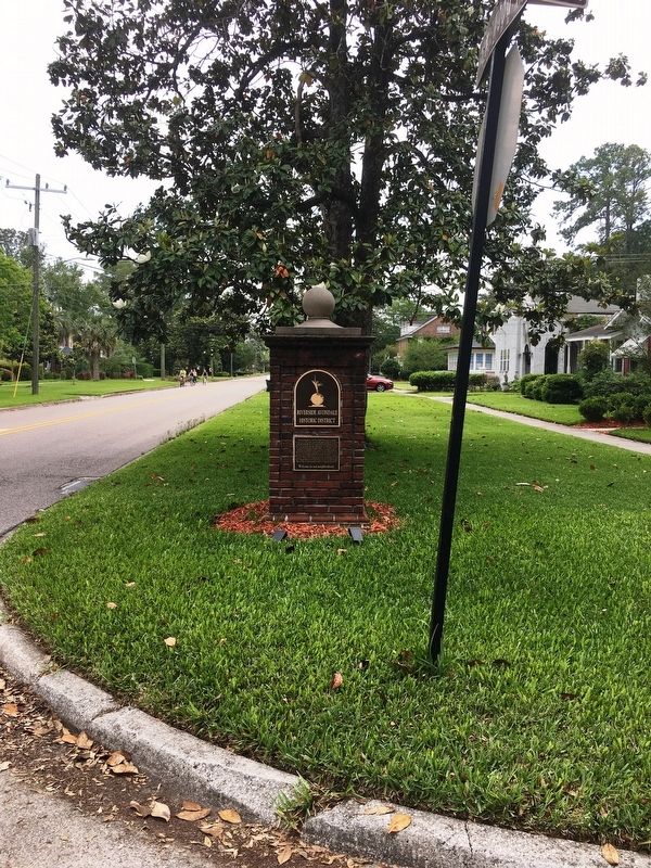
Location. 30° 18.441′ N, 81° 42.754′ W. Marker is in Jacksonville, Florida, in Duval County. It is in Avondale. Marker is at the intersection of Ola Street and Edgewood Avenue South, on the right when traveling west on Ola Street. Touch for map. Marker is in this post office area: Jacksonville FL 32205, United States of America. Touch for directions.
Other nearby markers. At least 8 other markers are within 2 miles of this marker, measured as the crow flies. Murrary Hill (about 400 feet away, measured in a direct line); Cheney/Cummer/Schneider House (approx. one mile away); Birth of the Allman Brothers Band (approx. one mile away); McCoys Creek Improvement Project (approx. 1.3 miles away); Van Zant House (approx. 1.7 miles away); Camp Captain Mooney Cemetery (approx. 2 miles away); All Those That Fought (approx. 2 miles away); Don Pedro Menendez de Aviles (approx. 2 miles away). Touch for a list and map of all markers in Jacksonville.
Credits. This page was last revised on February 3, 2023. It was originally submitted on April 24, 2020, by Brandon D Cross of Flagler Beach, Florida. This page has been viewed 351 times since then and 37 times this year. Photos: 1, 2. submitted on April 24, 2020, by Brandon D Cross of Flagler Beach, Florida. • Bernard Fisher was the editor who published this page.

